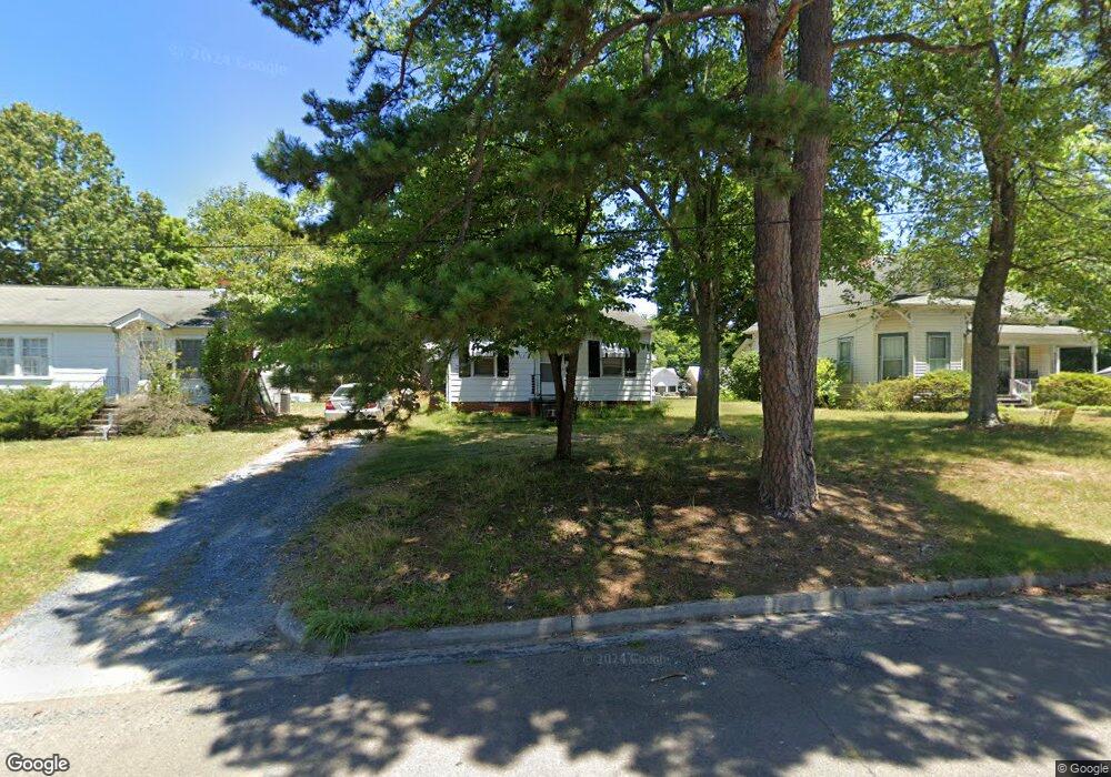
838 Lewis St Asheboro, NC 27203
Estimated Value: $95,000 - $143,000
Studio
1
Bath
864
Sq Ft
$133/Sq Ft
Est. Value
About This Home
This home is located at 838 Lewis St, Asheboro, NC 27203 and is currently estimated at $114,685, approximately $132 per square foot. 838 Lewis St is a home located in Randolph County with nearby schools including Donna L. Loflin Elementary School, South Asheboro Middle School, and Asheboro High School.
Ownership History
Date
Name
Owned For
Owner Type
Purchase Details
Closed on
Apr 20, 2011
Sold by
Poole Leann Wishon
Bought by
Shoe Delton C and Shoe Cindy L
Current Estimated Value
Home Financials for this Owner
Home Financials are based on the most recent Mortgage that was taken out on this home.
Original Mortgage
$34,800
Outstanding Balance
$22,707
Interest Rate
3.75%
Mortgage Type
Stand Alone Second
Estimated Equity
$91,978
Purchase Details
Closed on
May 21, 1993
Bought by
Shoe Delton Gshoe Cindy L
Create a Home Valuation Report for This Property
The Home Valuation Report is an in-depth analysis detailing your home's value as well as a comparison with similar homes in the area
Home Values in the Area
Average Home Value in this Area
Purchase History
| Date | Buyer | Sale Price | Title Company |
|---|---|---|---|
| Shoe Delton C | $43,500 | None Available | |
| Shoe Delton Gshoe Cindy L | $45,400 | -- |
Source: Public Records
Mortgage History
| Date | Status | Borrower | Loan Amount |
|---|---|---|---|
| Open | Shoe Delton C | $34,800 |
Source: Public Records
Tax History
| Year | Tax Paid | Tax Assessment Tax Assessment Total Assessment is a certain percentage of the fair market value that is determined by local assessors to be the total taxable value of land and additions on the property. | Land | Improvement |
|---|---|---|---|---|
| 2025 | $1,088 | $82,120 | $21,440 | $60,680 |
| 2024 | $1,088 | $82,120 | $21,440 | $60,680 |
| 2023 | $1,088 | $82,120 | $21,440 | $60,680 |
| 2022 | $838 | $58,150 | $17,270 | $40,880 |
| 2021 | $838 | $58,150 | $17,270 | $40,880 |
| 2020 | $826 | $57,310 | $17,270 | $40,040 |
| 2019 | $826 | $57,310 | $17,270 | $40,040 |
| 2018 | $627 | $42,750 | $14,680 | $28,070 |
| 2016 | $627 | $42,751 | $14,680 | $28,071 |
| 2015 | $628 | $42,751 | $14,680 | $28,071 |
| 2014 | $613 | $42,751 | $14,680 | $28,071 |
Source: Public Records
Map
Nearby Homes
- 711 Sunset Ave Unit E
- 314 Pershing St
- 135 Dixon St
- 520 W Kivett St
- 1254 Sunset Dr
- 0 Chestnut St Unit 17-19
- 0 Chestnut St Unit 1213142
- 806 Windermere Ct
- 627 Lee St
- 716 S Park St
- 0 Oakhurst Dr
- 855 Lee St
- 738 Britt Ave
- 908 Bunting Rd
- 515 Spencer Ave
- 737 Britt Ave
- 330 W Presnell St Unit 7
- 118 & 120 E Kivett St
- 621 Mountain Rd
- TBD Oakland Ave
Your Personal Tour Guide
Ask me questions while you tour the home.