8389 Mulligan Cir Unit B Port Saint Lucie, FL 34986
The Reserve NeighborhoodEstimated Value: $240,000 - $274,000
1
Bed
1
Bath
400
Sq Ft
$646/Sq Ft
Est. Value
About This Home
This home is located at 8389 Mulligan Cir Unit B, Port Saint Lucie, FL 34986 and is currently estimated at $258,368, approximately $645 per square foot. 8389 Mulligan Cir Unit B is a home located in St. Lucie County with nearby schools including West Gate K-8 School, Oak Hammock K-8 School, and Bayshore Elementary School.
Ownership History
Date
Name
Owned For
Owner Type
Purchase Details
Closed on
Apr 14, 2017
Sold by
Mecusker Kenneth
Bought by
Baker Kevin John
Current Estimated Value
Home Financials for this Owner
Home Financials are based on the most recent Mortgage that was taken out on this home.
Original Mortgage
$118,800
Outstanding Balance
$58,495
Interest Rate
3.5%
Mortgage Type
New Conventional
Estimated Equity
$199,873
Purchase Details
Closed on
Apr 30, 2014
Sold by
Stanley Joseph E and Stanley Nancy Oates
Bought by
Mccusker Kenneth
Purchase Details
Closed on
Feb 25, 2002
Sold by
Reserve Homes Ltd L P
Bought by
Lost Woods Assoc L L C
Home Financials for this Owner
Home Financials are based on the most recent Mortgage that was taken out on this home.
Original Mortgage
$125,100
Interest Rate
6.86%
Purchase Details
Closed on
Jan 1, 1903
Sold by
Lost Woods Assoc L L C
Bought by
Stanley Joseph E and Stanley Nancy Oates
Create a Home Valuation Report for This Property
The Home Valuation Report is an in-depth analysis detailing your home's value as well as a comparison with similar homes in the area
Home Values in the Area
Average Home Value in this Area
Purchase History
| Date | Buyer | Sale Price | Title Company |
|---|---|---|---|
| Baker Kevin John | $132,000 | Patch Reef Title Ins Co | |
| Mccusker Kenneth | $85,000 | K Title Company Llc | |
| Lost Woods Assoc L L C | $139,200 | -- | |
| Stanley Joseph E | $170,000 | -- |
Source: Public Records
Mortgage History
| Date | Status | Borrower | Loan Amount |
|---|---|---|---|
| Open | Baker Kevin John | $118,800 | |
| Previous Owner | Lost Woods Assoc L L C | $125,100 |
Source: Public Records
Tax History Compared to Growth
Tax History
| Year | Tax Paid | Tax Assessment Tax Assessment Total Assessment is a certain percentage of the fair market value that is determined by local assessors to be the total taxable value of land and additions on the property. | Land | Improvement |
|---|---|---|---|---|
| 2024 | $1,909 | $129,247 | -- | -- |
| 2023 | $1,909 | $125,483 | $0 | $0 |
| 2022 | $1,862 | $121,829 | $0 | $0 |
| 2021 | $1,853 | $118,281 | $0 | $0 |
| 2020 | $1,852 | $116,648 | $0 | $0 |
| 2019 | $1,819 | $114,026 | $0 | $0 |
| 2018 | $1,707 | $111,900 | $0 | $111,900 |
| 2017 | $2,355 | $101,900 | $0 | $101,900 |
| 2016 | $2,166 | $94,700 | $0 | $94,700 |
| 2015 | $2,016 | $83,000 | $0 | $83,000 |
| 2014 | $1,986 | $83,000 | $0 | $0 |
Source: Public Records
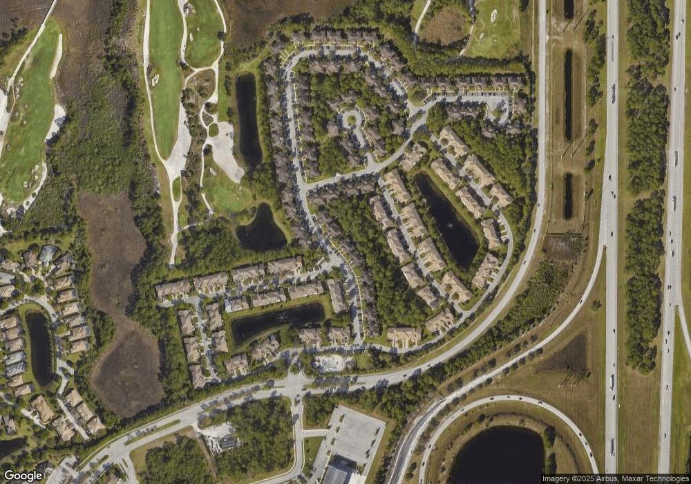
Map
Nearby Homes
- 8320 Mulligan Cir Unit 2112
- 8903 Sandshot Ct Unit 5212
- 8379 Mulligan Cir Unit 4524
- 8337 Mulligan Cir Unit 3013
- 8010 Carnoustie Place Unit 4022
- 8002 Carnoustie Place Unit 4012
- 8255 Mulligan Cir Unit 3422
- 8374 Mulligan Cir Unit 1823
- 8248 Mulligan Cir Unit 8248
- 8134 Carnoustie Place
- 8137 Carnoustie Place
- 9215 Wentworth Ln
- 9225 Wentworth Ln
- 9212 World Cup Way
- 8121 Mulligan Cir
- 9302 World Cup Way
- 9316 World Cup Way
- 9600 Crooked Stick Ln
- 9906 Perfect Dr Unit 28
- 9844 Perfect Dr Unit 38
- 8250 Mulligan Cir Unit B
- 8036 Carnoustie Place Unit 306
- 8942 Sandshot Ct Unit A
- 8242 Mulligan Cir Unit 8242
- 8251 Mulligan Cir Unit 3421
- 8930 Sand Shot Ct Unit 5011
- 8909 Sandshot Ct Unit 5311
- 8914 Sandshot Ct Unit A&B
- 8014 Carnoustie Place Unit 2
- 8313 Mulligan Cir Unit A & B
- 8232 Mulligan Cir Unit 2813
- 8431 Mulligan Cir Unit 4824
- 8343 Mulligan Cir Unit 1
- 8403 Mulligan Cir Unit 4722
- 8350 Mulligan Cir Unit 3512
- 9103 Sand Shot Way Unit 4312
- 8026 Carnoustie Place Unit 8312
- 8237 Mulligan Cir Unit 3512
- 8235 Mulligan Cir Unit A & B
- 8268 Mulligan Cir Unit 2621