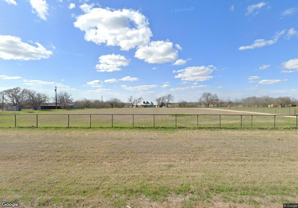
8389 N Fm 51 Decatur, TX 76234
Estimated Value: $685,000 - $868,224
4
Beds
3
Baths
2,588
Sq Ft
$293/Sq Ft
Est. Value
About This Home
This home is located at 8389 N Fm 51, Decatur, TX 76234 and is currently estimated at $758,056, approximately $292 per square foot. 8389 N Fm 51 is a home located in Wise County with nearby schools including Slidell Schools.
Ownership History
Date
Name
Owned For
Owner Type
Purchase Details
Closed on
Aug 23, 2019
Sold by
Murrell Adam and Murrell Sara
Bought by
Losey Scott C and Losey Leslie
Current Estimated Value
Home Financials for this Owner
Home Financials are based on the most recent Mortgage that was taken out on this home.
Original Mortgage
$364,000
Outstanding Balance
$319,450
Interest Rate
3.8%
Mortgage Type
New Conventional
Estimated Equity
$438,606
Purchase Details
Closed on
May 20, 2016
Sold by
Foster Real Estate Ltd
Bought by
Murrell Adam and Murrell Sara
Purchase Details
Closed on
May 14, 2002
Sold by
Foster B A
Bought by
Murrell Adam and Murrell Sara
Create a Home Valuation Report for This Property
The Home Valuation Report is an in-depth analysis detailing your home's value as well as a comparison with similar homes in the area
Home Values in the Area
Average Home Value in this Area
Purchase History
| Date | Buyer | Sale Price | Title Company |
|---|---|---|---|
| Losey Scott C | -- | Freedom Title | |
| Murrell Adam | -- | -- | |
| Murrell Adam | -- | -- |
Source: Public Records
Mortgage History
| Date | Status | Borrower | Loan Amount |
|---|---|---|---|
| Open | Losey Scott C | $364,000 |
Source: Public Records
Tax History Compared to Growth
Tax History
| Year | Tax Paid | Tax Assessment Tax Assessment Total Assessment is a certain percentage of the fair market value that is determined by local assessors to be the total taxable value of land and additions on the property. | Land | Improvement |
|---|---|---|---|---|
| 2025 | $5,575 | $638,649 | $25,226 | $613,423 |
| 2024 | $5,575 | $616,225 | $0 | $0 |
| 2023 | $7,438 | $790,559 | $0 | $0 |
| 2022 | $7,315 | $657,162 | $0 | $0 |
| 2021 | $6,777 | $605,300 | $153,070 | $452,230 |
| 2020 | $6,203 | $531,450 | $122,750 | $408,700 |
| 2019 | $5,040 | $398,890 | $80,000 | $318,890 |
| 2018 | $5,005 | $389,600 | $80,000 | $309,600 |
| 2017 | $8 | $67,210 | $67,210 | $0 |
| 2016 | $15 | $56,800 | $56,800 | $0 |
| 2015 | -- | $37,720 | $37,720 | $0 |
| 2014 | -- | $970 | $970 | $0 |
Source: Public Records
Map
Nearby Homes
- 171 Cr-2825
- TBD 7 County Road 2830
- 12370 Fortenberry Rd
- Highway 51
- 1430 County Road 2735
- Lot 4 Pr 4460
- 204 El Dorado St
- 392 Pr Road 2625
- 196 El Dorado St
- 123 El Dorado St
- 620 County Road 2937
- 14410 W Fm 455
- 459 Private Road 2625
- 0 Fm 455 Unit 21033431
- 9725 Atcheson Rd
- 200 Pr 2462
- 640 County Road 379
- 664 County Road 379
- TBD County Road 2740
- n/a Pruett Rd
- 8357 N Fm 51
- 8571 N Fm 51
- 8571 N Fm 51
- 8185 N Fm 51
- 8981 Farm To Market 51
- 8591 N Fm 51
- 8615 Farm To Market 51
- 0 Cr 2730 Unit 13349871
- x Fm 51
- 158 Private Road 2832
- 350 County Road 2730
- 514 County Road 2730
- 351 County Road 2830
- 180 County Road 2830
- 211 County Road 2730
- 382 County Road 2730
- 0 Cr-2825 Unit 20627512
- Lot 1 County Road 2830
- 106 County Road 2830
- 112 County Road 2830