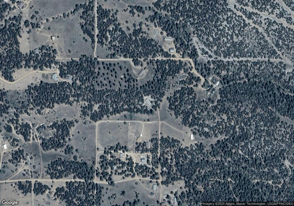
839 19th Trail Cotopaxi, CO 81223
Estimated Value: $319,000 - $397,000
4
Beds
2
Baths
1,755
Sq Ft
$206/Sq Ft
Est. Value
About This Home
This home is located at 839 19th Trail, Cotopaxi, CO 81223 and is currently estimated at $361,000, approximately $205 per square foot. 839 19th Trail is a home located in Fremont County with nearby schools including Cotopaxi Elementary School and Cotopaxi Junior/Senior High School.
Ownership History
Date
Name
Owned For
Owner Type
Purchase Details
Closed on
Aug 19, 2024
Sold by
Shimanek David D and Harper Lauren E
Bought by
Shimanek David D
Current Estimated Value
Purchase Details
Closed on
Oct 18, 2022
Sold by
Shimankk David D
Bought by
Shimanek David D and Harder Lawrene
Purchase Details
Closed on
Dec 4, 2006
Sold by
Wachovia Bank Na
Bought by
Shimanek David D
Home Financials for this Owner
Home Financials are based on the most recent Mortgage that was taken out on this home.
Original Mortgage
$10,000
Interest Rate
6.09%
Mortgage Type
Unknown
Purchase Details
Closed on
Dec 27, 2005
Sold by
Hill Jeffery A
Bought by
Wells Fargo Bank
Create a Home Valuation Report for This Property
The Home Valuation Report is an in-depth analysis detailing your home's value as well as a comparison with similar homes in the area
Purchase History
| Date | Buyer | Sale Price | Title Company |
|---|---|---|---|
| Shimanek David D | -- | None Listed On Document | |
| Shimanek David D | -- | -- | |
| Shimanek David D | $86,500 | None Available | |
| Wells Fargo Bank | -- | None Available |
Source: Public Records
Mortgage History
| Date | Status | Borrower | Loan Amount |
|---|---|---|---|
| Previous Owner | Shimanek David D | $10,000 |
Source: Public Records
Tax History
| Year | Tax Paid | Tax Assessment Tax Assessment Total Assessment is a certain percentage of the fair market value that is determined by local assessors to be the total taxable value of land and additions on the property. | Land | Improvement |
|---|---|---|---|---|
| 2024 | $572 | $18,598 | $0 | $0 |
| 2023 | $382 | $14,501 | $0 | $0 |
| 2022 | $266 | $11,340 | $0 | $0 |
| 2021 | $268 | $11,666 | $0 | $0 |
| 2020 | $213 | $9,454 | $0 | $0 |
| 2019 | $213 | $9,454 | $0 | $0 |
| 2018 | $181 | $8,057 | $0 | $0 |
| 2017 | $363 | $8,057 | $0 | $0 |
| 2016 | $336 | $7,440 | $0 | $0 |
| 2015 | $335 | $7,440 | $0 | $0 |
| 2012 | $327 | $7,957 | $796 | $7,161 |
Source: Public Records
Map
Nearby Homes
- 763 17th Trail
- 763 15th Trail
- 1012 17th Trail
- 639 15th Trail
- 1839 15th Trail
- 863 15th Trail
- 739 17th Trail
- 000 K Path
- TBD G Path
- 0 G Path
- xx 22nd Trail
- 2125 J Path
- TBD 25th Trail
- 0 Tbd Vacant Land Unit 2517535
- TBD 24th Trail
- 2176 L Path
- 0 27th Trail
- TBD 27th Trail
- 474 Deer Run Dr
- 0 21st Trail Unit REC1871091
Your Personal Tour Guide
Ask me questions while you tour the home.
