839 Bayard Rd Lothian, MD 20711
Estimated Value: $1,160,000 - $2,957,111
--
Bed
3
Baths
8,776
Sq Ft
$235/Sq Ft
Est. Value
About This Home
This home is located at 839 Bayard Rd, Lothian, MD 20711 and is currently estimated at $2,058,556, approximately $234 per square foot. 839 Bayard Rd is a home located in Anne Arundel County with nearby schools including Lothian Elementary School, Southern Middle School, and Southern High School.
Ownership History
Date
Name
Owned For
Owner Type
Purchase Details
Closed on
Jun 2, 2020
Sold by
Sears Ray Keith and Sears Roy Kurt
Bought by
Sears Ray Keith and Sears Roy Kurt
Current Estimated Value
Purchase Details
Closed on
Apr 11, 2013
Sold by
Sears Jeannie D
Bought by
Sears Ray Keith and Sears Roy Kurt
Purchase Details
Closed on
Feb 19, 2004
Sold by
Rian L L C
Bought by
Sears Raymond R and Sears Jeannie D
Purchase Details
Closed on
Nov 30, 1999
Sold by
Froe Enterprises Inc
Bought by
Rian L L C
Create a Home Valuation Report for This Property
The Home Valuation Report is an in-depth analysis detailing your home's value as well as a comparison with similar homes in the area
Home Values in the Area
Average Home Value in this Area
Purchase History
| Date | Buyer | Sale Price | Title Company |
|---|---|---|---|
| Sears Ray Keith | -- | None Available | |
| Sears Ray Keith | -- | None Available | |
| Sears Jeannie D | -- | None Available | |
| Sears Raymond R | $940,000 | -- | |
| Rian L L C | $3,286 | -- |
Source: Public Records
Tax History Compared to Growth
Tax History
| Year | Tax Paid | Tax Assessment Tax Assessment Total Assessment is a certain percentage of the fair market value that is determined by local assessors to be the total taxable value of land and additions on the property. | Land | Improvement |
|---|---|---|---|---|
| 2025 | $15,068 | $1,906,933 | -- | -- |
| 2024 | $15,068 | $1,814,567 | $0 | $0 |
| 2023 | $18,779 | $1,722,200 | $382,900 | $1,339,300 |
| 2022 | $13,047 | $1,686,067 | $0 | $0 |
| 2021 | $25,538 | $1,649,933 | $0 | $0 |
| 2020 | $12,374 | $1,613,800 | $353,200 | $1,260,600 |
| 2019 | $12,236 | $1,584,733 | $0 | $0 |
| 2018 | $15,774 | $1,555,667 | $0 | $0 |
| 2017 | $11,594 | $1,526,600 | $0 | $0 |
| 2016 | -- | $1,505,667 | $0 | $0 |
| 2015 | -- | $1,484,767 | $0 | $0 |
| 2014 | -- | $1,463,800 | $0 | $0 |
Source: Public Records
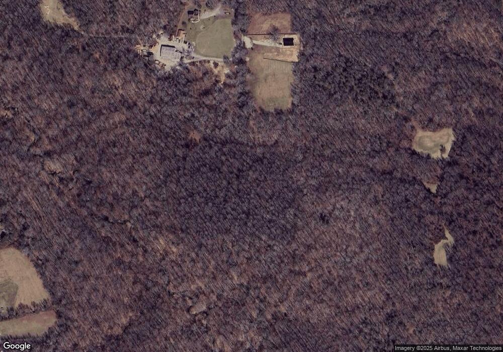
Map
Nearby Homes
- 4440 Claybrooke Dr
- 5248 Ferry Branch Ln
- 896 Mount Zion Marlboro Rd
- 5257 Ferry Branch Ln
- 17209 Clairfield Ln
- 17211 Usher Place
- 17212 Usher Place
- 17109 Brookmeadow Ln
- 635 Teton Ct
- 1218 Whittington Dr
- 4001 Terrytown Ct
- 623 Traveller Ct
- 612 Traveller Ct
- 1156 Mount Zion Marlboro Rd
- 17120 Fairway View Ln
- 997 Mount Zion Marlboro Rd
- 1154 Mount Zion Marlboro Rd
- 17126 Fairway View Ln
- 16831 Swanson Rd
- 6 Patuxent Mobile Estates