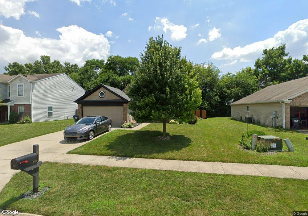
839 Bough St Whiteland, IN 46184
Estimated Value: $257,000 - $272,000
3
Beds
2
Baths
1,524
Sq Ft
$175/Sq Ft
Est. Value
About This Home
This home is located at 839 Bough St, Whiteland, IN 46184 and is currently estimated at $266,554, approximately $174 per square foot. 839 Bough St is a home located in Johnson County with nearby schools including Pleasant Crossing Elementary School, Clark-Pleasant Middle School, and Whiteland Community High School.
Ownership History
Date
Name
Owned For
Owner Type
Purchase Details
Closed on
Jul 13, 2011
Sold by
Nelson Anthony W and Merriss Robyn A
Bought by
Nelson Anthony W and Nelson Robyn A
Current Estimated Value
Purchase Details
Closed on
Jan 15, 2008
Sold by
C P Mogan Communities L P
Bought by
Nelson Anthony W and Merriss Robyn A
Home Financials for this Owner
Home Financials are based on the most recent Mortgage that was taken out on this home.
Original Mortgage
$122,239
Outstanding Balance
$77,401
Interest Rate
6.22%
Estimated Equity
$189,153
Create a Home Valuation Report for This Property
The Home Valuation Report is an in-depth analysis detailing your home's value as well as a comparison with similar homes in the area
Home Values in the Area
Average Home Value in this Area
Purchase History
| Date | Buyer | Sale Price | Title Company |
|---|---|---|---|
| Nelson Anthony W | -- | None Available | |
| Nelson Anthony W | -- | None Available |
Source: Public Records
Mortgage History
| Date | Status | Borrower | Loan Amount |
|---|---|---|---|
| Open | Nelson Anthony W | $122,239 |
Source: Public Records
Tax History Compared to Growth
Tax History
| Year | Tax Paid | Tax Assessment Tax Assessment Total Assessment is a certain percentage of the fair market value that is determined by local assessors to be the total taxable value of land and additions on the property. | Land | Improvement |
|---|---|---|---|---|
| 2025 | $2,364 | $233,300 | $56,000 | $177,300 |
| 2024 | $2,364 | $226,500 | $56,000 | $170,500 |
| 2023 | $2,310 | $222,100 | $56,000 | $166,100 |
| 2022 | $1,934 | $186,500 | $29,900 | $156,600 |
| 2021 | $1,650 | $158,900 | $29,900 | $129,000 |
| 2020 | $1,472 | $141,300 | $29,900 | $111,400 |
| 2019 | $1,356 | $130,400 | $29,900 | $100,500 |
| 2018 | $1,306 | $126,700 | $19,900 | $106,800 |
| 2017 | $1,305 | $129,500 | $19,900 | $109,600 |
| 2016 | $1,246 | $124,600 | $19,900 | $104,700 |
| 2014 | $1,090 | $108,200 | $24,300 | $83,900 |
| 2013 | $1,090 | $109,000 | $24,300 | $84,700 |
Source: Public Records
Map
Nearby Homes
- 3196 Underwood Dr
- 2916 Lodgepole Dr
- 577 Stobus Dr
- 731 W 600 N
- 2545 Wildflower Ln
- 2489 Wildflower Ln
- 2400 Grand Fir Dr
- 767 Mountain Pine Dr
- 2418 Ashton Ln
- 2357 Grand Fir Dr
- 700 Mountain Pine Dr
- 2277 Maple Stone Ln
- 2284 Blossom Dr
- 3481 S Honey Creek Rd
- 389 Springfield Cir
- 648 Bluestem Cir
- 647 Bluestem Cir
- 0 W Worthsville Rd
- 1137 Chateaugay Ct
- 1119 Chateaugay Ct