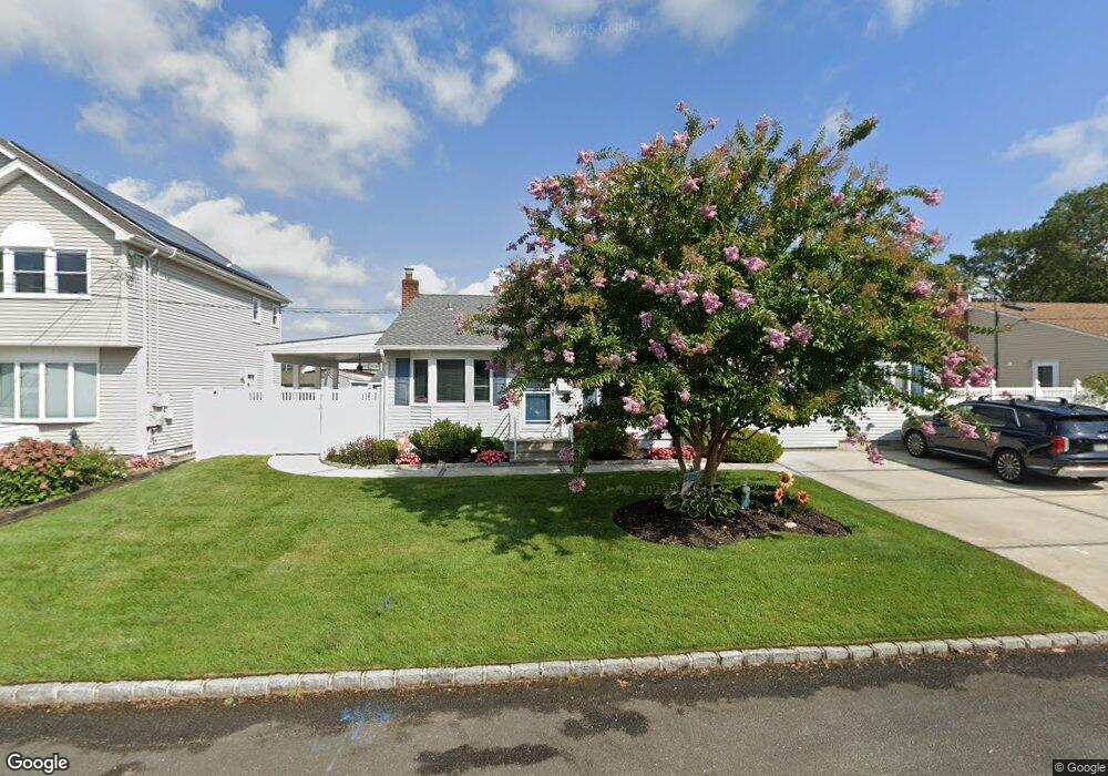
839 Densfield Rd West Babylon, NY 11704
Estimated Value: $644,000 - $728,000
--
Bed
--
Bath
1,350
Sq Ft
$503/Sq Ft
Est. Value
About This Home
This home is located at 839 Densfield Rd, West Babylon, NY 11704 and is currently estimated at $679,155, approximately $503 per square foot. 839 Densfield Rd is a home located in Suffolk County.
Ownership History
Date
Name
Owned For
Owner Type
Purchase Details
Closed on
Jan 19, 2010
Sold by
Sharpe Edward and Sharpe Tracy
Bought by
Soule Elizabeth
Current Estimated Value
Home Financials for this Owner
Home Financials are based on the most recent Mortgage that was taken out on this home.
Original Mortgage
$240,000
Outstanding Balance
$158,372
Interest Rate
5.05%
Mortgage Type
Purchase Money Mortgage
Estimated Equity
$520,783
Purchase Details
Closed on
Mar 5, 2003
Sold by
Obrien John C and Obrien Jeanne M
Bought by
Sharpe Edward and Sharpe Tracy
Home Financials for this Owner
Home Financials are based on the most recent Mortgage that was taken out on this home.
Original Mortgage
$170,000
Interest Rate
5.94%
Create a Home Valuation Report for This Property
The Home Valuation Report is an in-depth analysis detailing your home's value as well as a comparison with similar homes in the area
Home Values in the Area
Average Home Value in this Area
Purchase History
| Date | Buyer | Sale Price | Title Company |
|---|---|---|---|
| Soule Elizabeth | $345,000 | -- | |
| Sharpe Edward | $277,500 | Commonwealth Land Title Ins |
Source: Public Records
Mortgage History
| Date | Status | Borrower | Loan Amount |
|---|---|---|---|
| Open | Soule Elizabeth | $240,000 | |
| Previous Owner | Sharpe Edward | $170,000 |
Source: Public Records
Tax History Compared to Growth
Tax History
| Year | Tax Paid | Tax Assessment Tax Assessment Total Assessment is a certain percentage of the fair market value that is determined by local assessors to be the total taxable value of land and additions on the property. | Land | Improvement |
|---|---|---|---|---|
| 2024 | $12,587 | $3,690 | $260 | $3,430 |
| 2023 | $12,587 | $3,690 | $260 | $3,430 |
| 2022 | $10,594 | $3,690 | $260 | $3,430 |
| 2021 | $10,594 | $3,690 | $260 | $3,430 |
| 2020 | $11,013 | $3,690 | $260 | $3,430 |
| 2019 | $11,013 | $0 | $0 | $0 |
| 2018 | $10,498 | $3,690 | $260 | $3,430 |
| 2017 | $10,498 | $3,690 | $260 | $3,430 |
| 2016 | $10,522 | $3,690 | $260 | $3,430 |
| 2015 | -- | $3,690 | $260 | $3,430 |
| 2014 | -- | $3,690 | $260 | $3,430 |
Source: Public Records
Map
Nearby Homes
- 792 Glendale Rd
- 825 Weber Ave
- 1 Puritan Place
- 404 N Putnam Ave
- 842 Brook St
- 475 N Putnam Ave
- 323 Grand Ave
- 436 N Ontario Ave
- 248 Arnold Ave
- 34 Karen St
- 16 Della Dr
- 669 East Dr
- 417 N Monroe Ave
- 457 N Monroe Ave
- 465 N Monroe Ave
- 166 & 170 Woodrow Pkwy
- 115 Old Farmingdale Rd
- 6 Glenda Dr
- 557 N Kings Ave
- 31 Fuller Ave
- 831 Densfield Rd
- 847 Densfield Rd
- 838 Elmwood Rd
- 846 Elmwood Rd
- 830 Elmwood Rd
- 853 Densfield Rd
- 836 Densfield Rd
- 844 Densfield Rd
- 823 Densfield Rd
- 852 Elmwood Rd
- 828 Densfield Rd
- 852 Densfield Rd
- 861 Densfield Rd
- 860 Elmwood Rd
- 822 Densfield Rd
- 817 Densfield Rd
- 860 Densfield Rd
- 835 Carlton Rd
- 837 Elmwood Rd
- 843 Carlton Rd