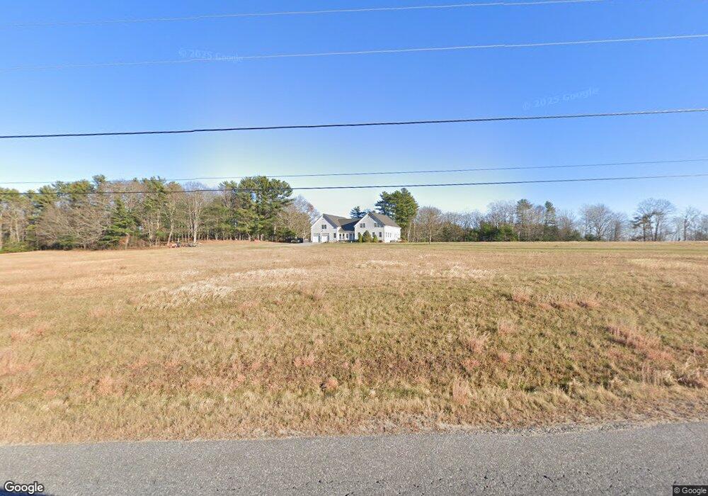
839 Foreside Rd Topsham, ME 04086
Estimated Value: $848,000 - $1,197,730
3
Beds
3
Baths
3,552
Sq Ft
$294/Sq Ft
Est. Value
About This Home
This home is located at 839 Foreside Rd, Topsham, ME 04086 and is currently estimated at $1,044,577, approximately $294 per square foot. 839 Foreside Rd is a home located in Sagadahoc County with nearby schools including Mt Ararat High School.
Create a Home Valuation Report for This Property
The Home Valuation Report is an in-depth analysis detailing your home's value as well as a comparison with similar homes in the area
Home Values in the Area
Average Home Value in this Area
Tax History
| Year | Tax Paid | Tax Assessment Tax Assessment Total Assessment is a certain percentage of the fair market value that is determined by local assessors to be the total taxable value of land and additions on the property. | Land | Improvement |
|---|---|---|---|---|
| 2025 | $13,053 | $1,019,800 | $103,700 | $916,100 |
| 2024 | $13,369 | $1,069,500 | $98,900 | $970,600 |
| 2023 | $12,441 | $916,100 | $95,500 | $820,600 |
| 2022 | $11,817 | $819,500 | $93,600 | $725,900 |
| 2021 | $11,464 | $722,400 | $88,900 | $633,500 |
| 2020 | $2,901 | $615,000 | $81,000 | $534,000 |
| 2019 | $2,854 | $577,200 | $81,000 | $496,200 |
| 2018 | $9,918 | $529,500 | $75,400 | $454,100 |
| 2017 | $9,595 | $529,500 | $75,400 | $454,100 |
| 2016 | $9,177 | $510,100 | $75,400 | $434,700 |
| 2015 | $9,075 | $505,300 | $75,400 | $429,900 |
| 2014 | $8,589 | $495,600 | $75,400 | $420,200 |
| 2013 | $8,252 | $495,600 | $75,400 | $420,200 |
Source: Public Records
Map
Nearby Homes
- 806 Foreside Rd
- 60 Pleasant Point Rd
- 859 Foreside Rd
- 11 Sunset Ln
- 72 Pleasant Point Rd
- 82 Pleasant Point Rd
- 716 Foreside Rd
- 90 Pleasant Point Rd
- 94 Pleasant Point Rd
- 108 Pleasant Point Rd
- 110 Pleasant Point Rd
- 112 Pleasant Point Rd
- 754 Foreside Rd
- 118 Pleasant Point Rd
- 121 Pleasant Point Rd
- 126 Pleasant Point Rd
- 138 Pleasant Point Rd
- 125 Pleasant Point Rd
- 744 Foreside Rd
- 129 Pleasant Point Rd
Your Personal Tour Guide
Ask me questions while you tour the home.