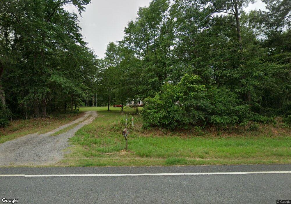
839 Ga Highway 32 W Oakfield, GA 31772
Estimated Value: $245,000 - $339,661
4
Beds
2
Baths
2,432
Sq Ft
$124/Sq Ft
Est. Value
About This Home
This home is located at 839 Ga Highway 32 W, Oakfield, GA 31772 and is currently estimated at $300,554, approximately $123 per square foot. 839 Ga Highway 32 W is a home located in Worth County with nearby schools including Worth County Primary School, Worth County Elementary School, and Worth County Middle School.
Ownership History
Date
Name
Owned For
Owner Type
Purchase Details
Closed on
Sep 5, 2007
Sold by
Harris Henry Marion
Bought by
Paul Tony K and Paul Betty
Current Estimated Value
Home Financials for this Owner
Home Financials are based on the most recent Mortgage that was taken out on this home.
Original Mortgage
$57,250
Outstanding Balance
$36,210
Interest Rate
6.55%
Mortgage Type
New Conventional
Estimated Equity
$264,344
Purchase Details
Closed on
Oct 16, 2006
Sold by
Harris Henry Marion
Bought by
Harrah Macey Brad Alan and Harrah Macey
Create a Home Valuation Report for This Property
The Home Valuation Report is an in-depth analysis detailing your home's value as well as a comparison with similar homes in the area
Home Values in the Area
Average Home Value in this Area
Purchase History
| Date | Buyer | Sale Price | Title Company |
|---|---|---|---|
| Paul Tony K | $57,300 | -- | |
| Harrah Macey Brad Alan | $71,000 | -- |
Source: Public Records
Mortgage History
| Date | Status | Borrower | Loan Amount |
|---|---|---|---|
| Open | Paul Tony K | $57,250 |
Source: Public Records
Tax History Compared to Growth
Tax History
| Year | Tax Paid | Tax Assessment Tax Assessment Total Assessment is a certain percentage of the fair market value that is determined by local assessors to be the total taxable value of land and additions on the property. | Land | Improvement |
|---|---|---|---|---|
| 2024 | $1,640 | $60,166 | $20,100 | $40,066 |
| 2023 | $1,640 | $60,370 | $20,100 | $40,270 |
| 2022 | $1,640 | $60,370 | $20,100 | $40,270 |
| 2021 | $1,614 | $60,370 | $20,100 | $40,270 |
| 2020 | $1,613 | $60,370 | $20,100 | $40,270 |
| 2019 | $1,611 | $60,370 | $20,100 | $40,270 |
| 2018 | $1,694 | $59,135 | $18,865 | $40,270 |
| 2017 | $1,694 | $59,135 | $18,865 | $40,270 |
| 2016 | $1,204 | $59,135 | $18,865 | $40,270 |
| 2015 | $1,203 | $57,726 | $17,456 | $40,270 |
| 2014 | $1,199 | $57,726 | $17,456 | $40,270 |
| 2013 | -- | $61,716 | $21,446 | $40,270 |
| 2012 | -- | $61,775 | $21,505 | $40,270 |
Source: Public Records
Map
Nearby Homes
- 0 Largemouth Dr Unit 139004
- 0 S 300 Hwy Unit 59620
- 0 Hall Rd
- 322 Camp Osborn Rd
- 0 Blue Springs Rd Unit 138600
- 0 Blue Springs Rd
- 0 Blue Springs Rd Unit 138601
- 0 Washington St SE
- 129 Main St NW
- 0 Power Dam Rd
- Lot 15 Georgia-Florida Pkwy
- 888 Flournoy Rd
- 484 Spring Creek Rd
- 636 Spring Creek Rd
- 480 Spring Creek Rd
- 1022 Flournoy Rd
- 5421 Worthy St
- 215 Mill Branch Rd
- 235 Smoak Bridge Cir
- 303 Mill Branch Rd