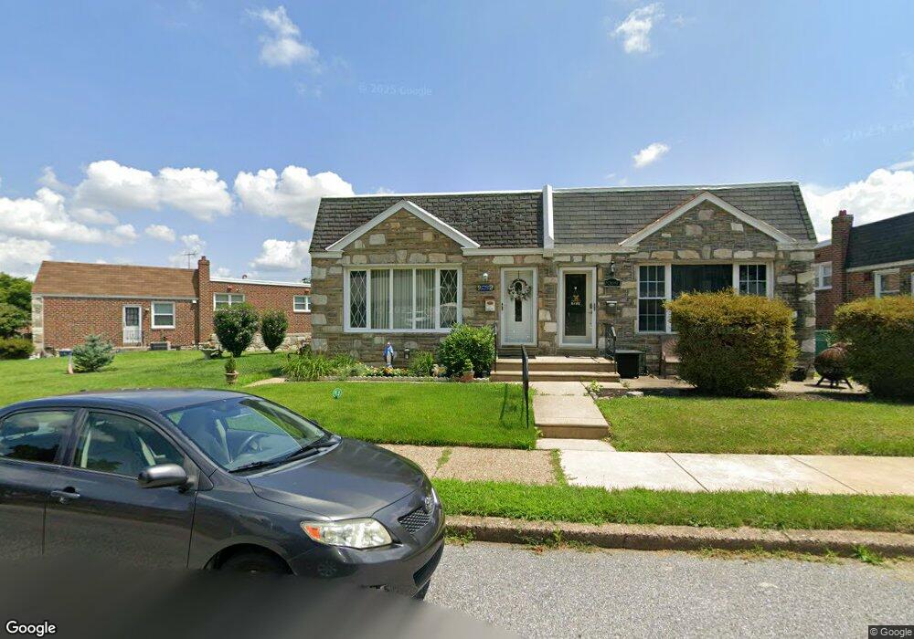
8391 Langdon St Philadelphia, PA 19152
Rhawnhurst NeighborhoodEstimated Value: $300,000 - $326,000
3
Beds
1
Bath
1,066
Sq Ft
$291/Sq Ft
Est. Value
About This Home
This home is located at 8391 Langdon St, Philadelphia, PA 19152 and is currently estimated at $310,224, approximately $291 per square foot. 8391 Langdon St is a home located in Philadelphia County with nearby schools including Farrell Louis H School, Northeast High School, and Tacony Academy Charter School.
Ownership History
Date
Name
Owned For
Owner Type
Purchase Details
Closed on
Apr 30, 2003
Sold by
Burns Robinmarie M
Bought by
Dubowski Maria
Current Estimated Value
Home Financials for this Owner
Home Financials are based on the most recent Mortgage that was taken out on this home.
Original Mortgage
$88,000
Outstanding Balance
$38,386
Interest Rate
5.84%
Mortgage Type
Purchase Money Mortgage
Estimated Equity
$271,838
Purchase Details
Closed on
Jan 16, 2002
Sold by
Burns Pearl Margaret
Bought by
Burns Pearl Margaret and Burns Robinmarie M
Create a Home Valuation Report for This Property
The Home Valuation Report is an in-depth analysis detailing your home's value as well as a comparison with similar homes in the area
Home Values in the Area
Average Home Value in this Area
Purchase History
| Date | Buyer | Sale Price | Title Company |
|---|---|---|---|
| Dubowski Maria | $110,000 | -- | |
| Burns Pearl Margaret | -- | -- |
Source: Public Records
Mortgage History
| Date | Status | Borrower | Loan Amount |
|---|---|---|---|
| Open | Dubowski Maria | $88,000 | |
| Closed | Dubowski Maria | $16,500 |
Source: Public Records
Tax History Compared to Growth
Tax History
| Year | Tax Paid | Tax Assessment Tax Assessment Total Assessment is a certain percentage of the fair market value that is determined by local assessors to be the total taxable value of land and additions on the property. | Land | Improvement |
|---|---|---|---|---|
| 2025 | $3,210 | $282,200 | $56,440 | $225,760 |
| 2024 | $3,210 | $282,200 | $56,440 | $225,760 |
| 2023 | $3,210 | $229,300 | $45,860 | $183,440 |
| 2022 | $2,090 | $184,300 | $45,860 | $138,440 |
| 2021 | $2,795 | $0 | $0 | $0 |
| 2020 | $2,795 | $0 | $0 | $0 |
| 2019 | $2,545 | $0 | $0 | $0 |
| 2018 | $2,545 | $0 | $0 | $0 |
| 2017 | $2,307 | $0 | $0 | $0 |
| 2016 | $1,887 | $0 | $0 | $0 |
| 2015 | $1,806 | $0 | $0 | $0 |
| 2014 | -- | $164,800 | $58,049 | $106,751 |
| 2012 | -- | $22,144 | $3,659 | $18,485 |
Source: Public Records
Map
Nearby Homes
- 1712 Tustin St
- 1716 Bergen St
- 1711 Kendrick St
- 1804 Megargee St
- 1828 Megargee St
- 8614 Agusta St
- 8606 Frontenac St
- 1832 Mower St
- 1834 Mower St
- 1907 Tustin St
- 1617 Solly Ave
- 8562 Benton Ave
- 1702 Arthur St
- 8523 Benton Ave
- 8563 Benton Ave
- 1704 Stanwood St
- 8870 Alton St
- 1625 Rhawn St
- 2155 Benson St
- 1443 Rhawn St
- 8389 Langdon St
- 8393 Langdon St
- 8387 Langdon St
- 8395 Langdon St
- 8385 Langdon St
- 8392 Summerdale Ave
- 8390 Summerdale Ave
- 8397 Langdon St
- 8388 Summerdale Ave
- 8383 Langdon St
- 8406 Langdon St
- 8410 Langdon St
- 8398 Langdon St
- 8399 Langdon St
- 8386 Summerdale Ave
- 8396 Langdon St
- 8381 Langdon St
- 8384 Summerdale Ave
- 8412 Langdon St
- 8394 Langdon St