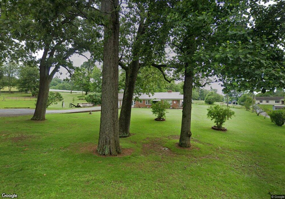
8391 Tomstown Rd Waynesboro, PA 17268
Estimated Value: $134,194 - $264,000
--
Bed
--
Bath
1,221
Sq Ft
$179/Sq Ft
Est. Value
About This Home
This home is located at 8391 Tomstown Rd, Waynesboro, PA 17268 and is currently estimated at $218,299, approximately $178 per square foot. 8391 Tomstown Rd is a home located in Franklin County with nearby schools including Waynesboro Area Senior High School and Providence School - Pigeon Hill Building.
Ownership History
Date
Name
Owned For
Owner Type
Purchase Details
Closed on
Aug 29, 2017
Sold by
Koons Wanda M
Bought by
Koons Adam J
Current Estimated Value
Home Financials for this Owner
Home Financials are based on the most recent Mortgage that was taken out on this home.
Original Mortgage
$151,515
Outstanding Balance
$126,729
Interest Rate
3.96%
Mortgage Type
New Conventional
Estimated Equity
$91,570
Create a Home Valuation Report for This Property
The Home Valuation Report is an in-depth analysis detailing your home's value as well as a comparison with similar homes in the area
Home Values in the Area
Average Home Value in this Area
Purchase History
| Date | Buyer | Sale Price | Title Company |
|---|---|---|---|
| Koons Adam J | $150,000 | None Available |
Source: Public Records
Mortgage History
| Date | Status | Borrower | Loan Amount |
|---|---|---|---|
| Open | Koons Adam J | $151,515 |
Source: Public Records
Tax History Compared to Growth
Tax History
| Year | Tax Paid | Tax Assessment Tax Assessment Total Assessment is a certain percentage of the fair market value that is determined by local assessors to be the total taxable value of land and additions on the property. | Land | Improvement |
|---|---|---|---|---|
| 2025 | $2,469 | $16,920 | $670 | $16,250 |
| 2024 | $2,393 | $16,920 | $670 | $16,250 |
| 2023 | $2,327 | $16,920 | $670 | $16,250 |
| 2022 | $2,259 | $16,920 | $670 | $16,250 |
| 2021 | $2,191 | $16,920 | $670 | $16,250 |
| 2020 | $2,191 | $16,920 | $670 | $16,250 |
| 2019 | $2,141 | $16,920 | $670 | $16,250 |
| 2018 | $2,069 | $16,920 | $670 | $16,250 |
| 2017 | $2,022 | $16,920 | $670 | $16,250 |
| 2016 | $476 | $16,600 | $670 | $15,930 |
| 2015 | $443 | $16,600 | $670 | $15,930 |
| 2014 | $443 | $16,600 | $670 | $15,930 |
Source: Public Records
Map
Nearby Homes
- 8620 Monns Gap Rd
- 7468 Anthony Hwy
- 8652 Mormon Church Rd
- 6159 Orphanage Rd
- 5434 Manheim Rd
- 207 University Dr
- 111 Poplar St
- 286 Verdier St
- 6 S Main St
- 0 Unit PAFL2024598
- 0 Unit PAFL2024596
- 0 Unit PAFL2024594
- 0 Unit PAFL2024618
- 0 Unit PAFL2024616
- 0 Unit PAFL2024592
- 0 Unit PAFL2024590
- 0 Juliet Plan at Hickory Pointe Unit PAFL2029240
- 7130 St Annes Dr
- Beacon Pointe Plan at Hickory Pointe
- Juliet Plan at Hickory Pointe
- 8467 Tomstown Rd
- 8315 Tomstown Rd
- 8315 Tomstown Rd
- 8353 Tomstown Rd
- 8300 Tomstown Rd
- 8303 Tomstown Rd
- 8390 Fox Hill Rd
- 8398 Fox Hill Rd
- 8406 Fox Hill Rd
- 8413 Fox Hill Rd
- 8275 Tomstown Rd
- 8273 Tomstown Rd
- 8265 Tomstown Rd
- 8430 Fox Hill Rd
- 7110 Back Ln
- 8495 Tomstown Rd
- 8257 Tomstown Rd
- 7633 Furnace Rd
- 7102 Back Ln
- 8501 Fox Hill Rd