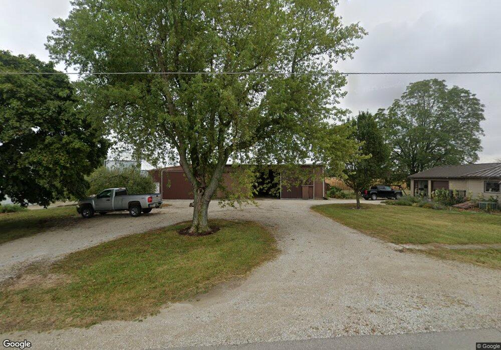
8393 Coletown Lightsville Rd Greenville, OH 45331
Estimated Value: $218,000 - $295,000
3
Beds
2
Baths
1,750
Sq Ft
$149/Sq Ft
Est. Value
About This Home
This home is located at 8393 Coletown Lightsville Rd, Greenville, OH 45331 and is currently estimated at $260,994, approximately $149 per square foot. 8393 Coletown Lightsville Rd is a home located in Darke County with nearby schools including Greenville Middle School, Greenville Intermediate School, and Greenville Primary School.
Ownership History
Date
Name
Owned For
Owner Type
Purchase Details
Closed on
Oct 31, 2022
Sold by
Obringer John L and Obringer Ann E
Bought by
Ann E Obringer Trust
Current Estimated Value
Purchase Details
Closed on
Jan 31, 2012
Sold by
Obringer John L and Obringer Ann E
Bought by
Obringer John L and Obringer Ann E
Create a Home Valuation Report for This Property
The Home Valuation Report is an in-depth analysis detailing your home's value as well as a comparison with similar homes in the area
Home Values in the Area
Average Home Value in this Area
Purchase History
| Date | Buyer | Sale Price | Title Company |
|---|---|---|---|
| Ann E Obringer Trust | -- | -- | |
| John L Obringer Trust | $500 | -- | |
| John L Obringer Trust | $500 | None Listed On Document | |
| Obringer John L | -- | Attorney |
Source: Public Records
Tax History Compared to Growth
Tax History
| Year | Tax Paid | Tax Assessment Tax Assessment Total Assessment is a certain percentage of the fair market value that is determined by local assessors to be the total taxable value of land and additions on the property. | Land | Improvement |
|---|---|---|---|---|
| 2024 | $2,031 | $58,860 | $12,200 | $46,660 |
| 2023 | $2,055 | $59,670 | $13,010 | $46,660 |
| 2022 | $1,782 | $46,750 | $11,310 | $35,440 |
| 2021 | $1,789 | $46,750 | $11,310 | $35,440 |
| 2020 | $1,793 | $46,750 | $11,310 | $35,440 |
| 2019 | $1,580 | $40,840 | $11,310 | $29,530 |
| 2018 | $1,590 | $40,840 | $11,310 | $29,530 |
| 2017 | $1,277 | $40,840 | $11,310 | $29,530 |
| 2016 | $1,279 | $32,350 | $9,030 | $23,320 |
| 2015 | $1,279 | $32,350 | $9,030 | $23,320 |
| 2014 | $1,351 | $34,100 | $9,030 | $25,070 |
| 2013 | $1,360 | $33,820 | $8,750 | $25,070 |
Source: Public Records
Map
Nearby Homes
- 2515 State Route 571
- 2493 Ohio 571
- 2149 State Route 571
- 1960 Ohio 571
- 8018 Fisher Dangler Rd
- 8892 N State Route 49
- 0 N Madison-Coletwn Rd Unit 1039727
- 3163 State Route 571
- 1108 Ohio 571
- 1108 State Route 571
- 555 Beatrice Dr
- 101 Westbury Dr
- 105 Ashford Cir
- 427 State Route 571
- 699 Bur Oak Dr
- 220 Westbury Dr
- 0 Elroy-Ansonia Rd
- 760 Birchwood Dr
- 774 Primrose Dr
- 1376 Sugar Maple Dr