8396 Morris Rd Hilliard, OH 43026
Brown NeighborhoodEstimated Value: $757,000 - $1,034,440
3
Beds
3
Baths
3,768
Sq Ft
$228/Sq Ft
Est. Value
About This Home
This home is located at 8396 Morris Rd, Hilliard, OH 43026 and is currently estimated at $860,110, approximately $228 per square foot. 8396 Morris Rd is a home located in Franklin County with nearby schools including Brown Elementary School, Hilliard Station Sixth Grade Elementary School, and Hilliard Memorial Middle School.
Ownership History
Date
Name
Owned For
Owner Type
Purchase Details
Closed on
Sep 28, 1994
Sold by
Lacasa Builders Inc
Bought by
Paul J Hudanick
Current Estimated Value
Home Financials for this Owner
Home Financials are based on the most recent Mortgage that was taken out on this home.
Original Mortgage
$180,000
Interest Rate
5.96%
Mortgage Type
New Conventional
Purchase Details
Closed on
Mar 16, 1994
Purchase Details
Closed on
Sep 17, 1993
Create a Home Valuation Report for This Property
The Home Valuation Report is an in-depth analysis detailing your home's value as well as a comparison with similar homes in the area
Home Values in the Area
Average Home Value in this Area
Purchase History
| Date | Buyer | Sale Price | Title Company |
|---|---|---|---|
| Paul J Hudanick | $242,796 | -- | |
| -- | $58,500 | -- | |
| -- | $58,500 | -- |
Source: Public Records
Mortgage History
| Date | Status | Borrower | Loan Amount |
|---|---|---|---|
| Closed | Paul J Hudanick | $180,000 |
Source: Public Records
Tax History Compared to Growth
Tax History
| Year | Tax Paid | Tax Assessment Tax Assessment Total Assessment is a certain percentage of the fair market value that is determined by local assessors to be the total taxable value of land and additions on the property. | Land | Improvement |
|---|---|---|---|---|
| 2024 | $18,128 | $295,610 | $145,250 | $150,360 |
| 2023 | $15,940 | $295,610 | $145,250 | $150,360 |
| 2022 | $13,828 | $204,860 | $63,560 | $141,300 |
| 2021 | $13,835 | $204,860 | $63,560 | $141,300 |
| 2020 | $13,846 | $204,860 | $63,560 | $141,300 |
| 2019 | $14,075 | $178,120 | $55,270 | $122,850 |
| 2018 | $13,845 | $178,120 | $55,270 | $122,850 |
| 2017 | $14,037 | $178,120 | $55,270 | $122,850 |
| 2016 | $14,423 | $169,340 | $35,460 | $133,880 |
| 2015 | $13,651 | $169,340 | $35,460 | $133,880 |
| 2014 | $13,691 | $169,340 | $35,460 | $133,880 |
| 2013 | $6,279 | $161,280 | $33,775 | $127,505 |
Source: Public Records
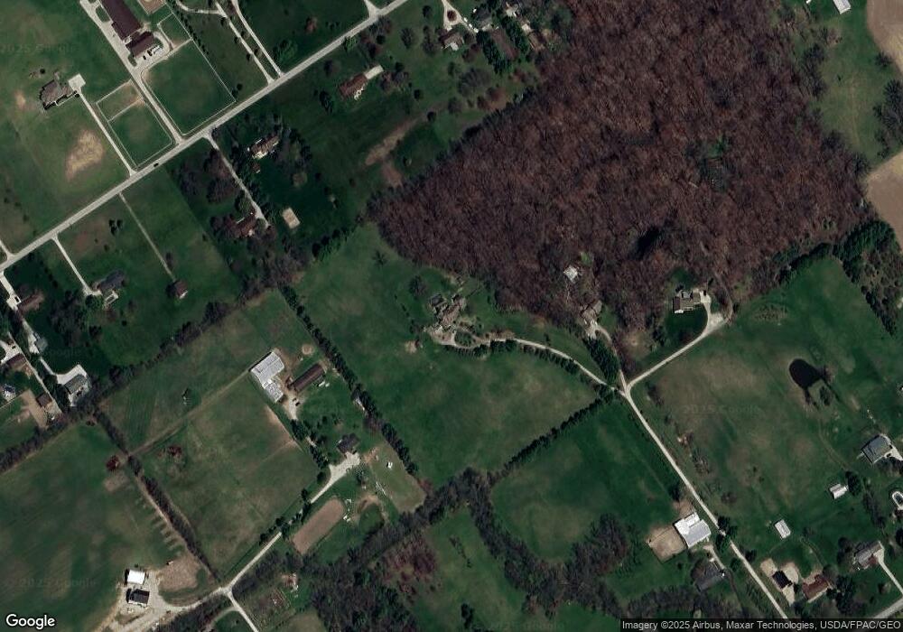
Map
Nearby Homes
- 8871 Patterson Rd
- 2263 Amity Rd
- 3583 Darby Knolls Blvd
- 8429 Jericho Way
- 9519 High Free Pike
- 6891 Woodedge Ln
- 6899 Woodedge Ln
- 1280 Four Star Dr W
- 3473 Woodland Dr
- 3453 Woodland Dr
- 0 Dellinger Rd Unit 9 2030113
- 6753 Brookview Place
- 6752 Brookview Place
- 6745 Brookview Place
- 6761 Brookview Place
- 6736 Brookview Place
- 6713 Brookview Place
- 6729 Brookview Place
- 6744 Brookview Place
- 6785 Brookview Place
- 8390 Morris Rd
- 8558 Morris Rd
- 8655 Patterson Rd
- 8555 Patterson Rd
- 8625 Patterson Rd
- 8531 Patterson Rd
- 8372 Morris Rd
- 8501 Patterson Rd
- 8400 Morris Rd
- 8669 Patterson Rd
- 8550 Patterson Rd
- 8636 Patterson Rd
- 8546 Patterson Rd
- 8455 Patterson Rd
- 8675 Patterson Rd
- 8534 Patterson Rd
- 8610 Patterson Rd
- 8436 Morris Rd
- 8664 Patterson Rd
- 8444 Morris Rd