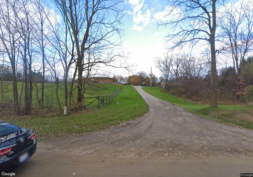
8396 W Rolston Rd Linden, MI 48451
Estimated Value: $484,881
--
Bed
1
Bath
1,788
Sq Ft
$271/Sq Ft
Est. Value
About This Home
This home is located at 8396 W Rolston Rd, Linden, MI 48451 and is currently estimated at $484,881, approximately $271 per square foot. 8396 W Rolston Rd is a home located in Genesee County with nearby schools including Central Elementary School, Linden Middle School, and Linden High School.
Ownership History
Date
Name
Owned For
Owner Type
Purchase Details
Closed on
Nov 13, 2006
Sold by
Rockman Glen A
Bought by
Ketchum Frank and Ketchum Rachel R
Current Estimated Value
Home Financials for this Owner
Home Financials are based on the most recent Mortgage that was taken out on this home.
Original Mortgage
$319,920
Outstanding Balance
$256,669
Interest Rate
6.36%
Mortgage Type
Purchase Money Mortgage
Estimated Equity
$228,212
Purchase Details
Closed on
Nov 10, 2004
Sold by
Cumbrae Farm Llc
Bought by
Rockman Glen A
Purchase Details
Closed on
Apr 9, 2002
Sold by
Blyth Peter and Blyth Mary D
Bought by
Cumbrae Farm Llc
Create a Home Valuation Report for This Property
The Home Valuation Report is an in-depth analysis detailing your home's value as well as a comparison with similar homes in the area
Home Values in the Area
Average Home Value in this Area
Purchase History
| Date | Buyer | Sale Price | Title Company |
|---|---|---|---|
| Ketchum Frank | $399,900 | Cislo Title Co | |
| Rockman Glen A | $355,000 | Metropolitan Title Company | |
| Cumbrae Farm Llc | -- | -- |
Source: Public Records
Mortgage History
| Date | Status | Borrower | Loan Amount |
|---|---|---|---|
| Open | Ketchum Frank | $319,920 |
Source: Public Records
Tax History Compared to Growth
Tax History
| Year | Tax Paid | Tax Assessment Tax Assessment Total Assessment is a certain percentage of the fair market value that is determined by local assessors to be the total taxable value of land and additions on the property. | Land | Improvement |
|---|---|---|---|---|
| 2025 | $4,321 | $205,400 | $0 | $0 |
| 2024 | $1,917 | $189,800 | $0 | $0 |
| 2023 | $1,830 | $170,800 | $0 | $0 |
| 2022 | $3,950 | $149,600 | $0 | $0 |
| 2021 | $3,900 | $131,400 | $0 | $0 |
| 2020 | $1,624 | $127,100 | $0 | $0 |
| 2019 | $1,630 | $124,200 | $0 | $0 |
| 2018 | $3,618 | $110,700 | $0 | $0 |
| 2017 | $3,457 | $110,700 | $0 | $0 |
| 2016 | $3,500 | $105,600 | $0 | $0 |
| 2015 | $2,875 | $101,600 | $0 | $0 |
| 2014 | $1,510 | $97,400 | $0 | $0 |
| 2012 | -- | $90,700 | $10,000 | $80,700 |
Source: Public Records
Map
Nearby Homes
- 14155 Seymour Rd
- 13065 White Oaks Unit 17
- 9117 Lahring Rd
- 14269 Cole Rd
- 8410 Pineview Lake Dr
- 8450 Pineview Lake Dr
- 15276 Outer Dr
- 15279 Outer Dr
- VL Pineview Lake Dr
- Parcel E Hogan Rd
- 7103 Silver Lake Rd
- 15542 Pine Cone Ct
- 11359 Seymour Rd
- 16100 River Ridge Trail
- 9127 Pineview Lake
- 16039 Knobhill Dr
- 1590 W Rolston Rd
- 16083 Whitehead Dr
- 15307 Shiawassee Dr
- South of 12111 Linde Linden Rd
- 8370 W Rolston Rd
- 8370 W Rolston Rd
- 13419 Seymour Rd
- 13451 Seymour Rd
- 13383 Seymour Rd
- 0 Seymour Rd Unit 218011878
- 0 Seymour Rd
- 0 Seymour Rd Unit 2210096114
- 0 Seymour Rd Unit 30056645
- 8350 W Rolston Rd
- 13315 Seymour Rd
- 8444 W Rolston Rd
- 8456 W Rolston Rd
- 13316 Seymour Rd
- 8480 W Rolston Rd
- 8262 W Rolston Rd
- 13482 Seymour Rd
- 8409 W Rolston Rd
- 8399 W Rolston Rd
- 13330 Seymour Rd