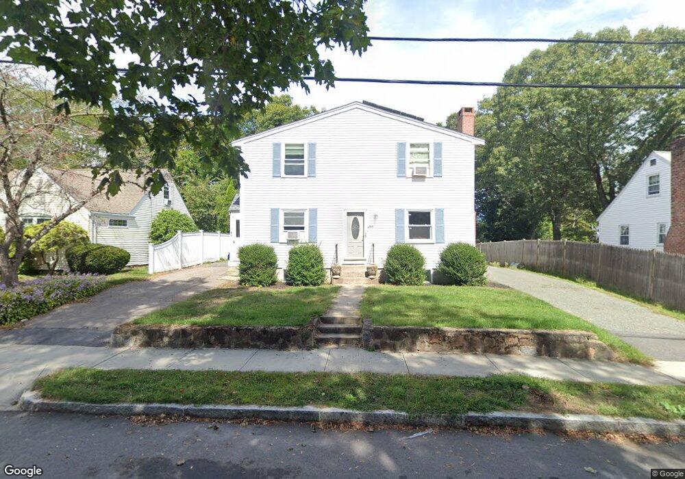
84 Ames St Quincy, MA 02169
Estimated Value: $854,139 - $912,000
6
Beds
3
Baths
2,768
Sq Ft
$317/Sq Ft
Est. Value
About This Home
This home is located at 84 Ames St, Quincy, MA 02169 and is currently estimated at $877,785, approximately $317 per square foot. 84 Ames St is a home located in Norfolk County with nearby schools including South West Middle School, Lincoln-Hancock Community School, and Quincy High School.
Ownership History
Date
Name
Owned For
Owner Type
Purchase Details
Closed on
Mar 8, 2016
Sold by
Picot Leonard M
Bought by
Lanagan 3Rd James B and Neville Stephan R
Current Estimated Value
Home Financials for this Owner
Home Financials are based on the most recent Mortgage that was taken out on this home.
Original Mortgage
$374,400
Outstanding Balance
$231,434
Interest Rate
3.81%
Mortgage Type
New Conventional
Estimated Equity
$646,351
Purchase Details
Closed on
Oct 8, 2003
Sold by
Nelson Ft
Bought by
Picot Leonard M
Home Financials for this Owner
Home Financials are based on the most recent Mortgage that was taken out on this home.
Original Mortgage
$204,000
Interest Rate
6.35%
Mortgage Type
Purchase Money Mortgage
Create a Home Valuation Report for This Property
The Home Valuation Report is an in-depth analysis detailing your home's value as well as a comparison with similar homes in the area
Purchase History
| Date | Buyer | Sale Price | Title Company |
|---|---|---|---|
| Lanagan 3Rd James B | $468,000 | -- | |
| Picot Leonard M | $255,000 | -- |
Source: Public Records
Mortgage History
| Date | Status | Borrower | Loan Amount |
|---|---|---|---|
| Open | Lanagan 3Rd James B | $374,400 | |
| Previous Owner | Picot Leonard M | $204,000 |
Source: Public Records
Tax History
| Year | Tax Paid | Tax Assessment Tax Assessment Total Assessment is a certain percentage of the fair market value that is determined by local assessors to be the total taxable value of land and additions on the property. | Land | Improvement |
|---|---|---|---|---|
| 2025 | $8,671 | $752,000 | $313,900 | $438,100 |
| 2024 | $8,120 | $720,500 | $299,100 | $421,400 |
| 2023 | $7,614 | $684,100 | $285,000 | $399,100 |
| 2022 | $7,713 | $643,800 | $228,300 | $415,500 |
| 2021 | $7,240 | $596,400 | $228,300 | $368,100 |
| 2020 | $7,356 | $591,800 | $228,300 | $363,500 |
| 2019 | $7,263 | $578,700 | $221,800 | $356,900 |
| 2018 | $7,042 | $527,900 | $205,500 | $322,400 |
| 2017 | $7,269 | $513,000 | $195,800 | $317,200 |
| 2016 | $6,779 | $472,100 | $178,200 | $293,900 |
| 2015 | $5,075 | $347,600 | $168,200 | $179,400 |
| 2014 | $4,960 | $333,800 | $168,200 | $165,600 |
Source: Public Records
Map
Nearby Homes
- 36 Village Dr
- 87 Village Dr
- 510 Willard St
- 9 Westford St
- 51 Branch St Unit 2
- 25 McDonald St
- 459 Willard St Unit 303
- 21 Totman St Unit 308
- 21 Totman St Unit 205
- 21 Totman St Unit 404
- 21 Totman St Unit 309
- 21 Totman St Unit 203
- 21 Totman St Unit PH-406
- 21 Totman St Unit 301
- 21 Totman St Unit PH-405
- 21 Totman St Unit 407
- 132 Centre St
- 57 Buckley St
- 211 Copeland St
- 14 Arthur Ave
Your Personal Tour Guide
Ask me questions while you tour the home.