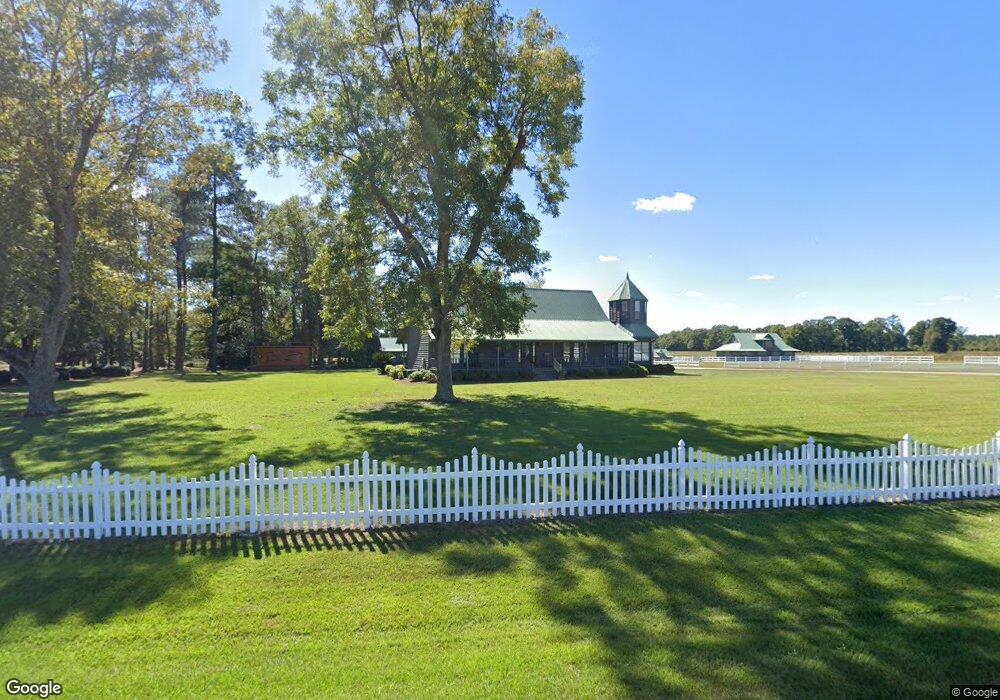
84 Beecher Rd Hazlehurst, GA 31539
Estimated Value: $322,000 - $632,175
4
Beds
3
Baths
2,500
Sq Ft
$206/Sq Ft
Est. Value
About This Home
This home is located at 84 Beecher Rd, Hazlehurst, GA 31539 and is currently estimated at $515,392, approximately $206 per square foot. 84 Beecher Rd is a home located in Jeff Davis County with nearby schools including Jeff Davis Primary School, Jeff Davis Elementary School, and Jeff Davis Middle School.
Ownership History
Date
Name
Owned For
Owner Type
Purchase Details
Closed on
May 25, 2001
Sold by
Beasley Wayne
Bought by
Varnadore William T
Current Estimated Value
Purchase Details
Closed on
Aug 6, 1998
Bought by
Beasley Wayne
Purchase Details
Closed on
Jul 17, 1996
Bought by
Beasley Wayne
Purchase Details
Closed on
Mar 29, 1996
Bought by
Cox Bobby
Purchase Details
Closed on
Jan 1, 1977
Bought by
Sayles Samuel L
Create a Home Valuation Report for This Property
The Home Valuation Report is an in-depth analysis detailing your home's value as well as a comparison with similar homes in the area
Home Values in the Area
Average Home Value in this Area
Purchase History
| Date | Buyer | Sale Price | Title Company |
|---|---|---|---|
| Varnadore William T | $500,000 | -- | |
| Beasley Wayne | $29,000 | -- | |
| Beasley Wayne | $87,200 | -- | |
| Cox Bobby | $357,500 | -- | |
| Sayles Samuel L | $25,000 | -- |
Source: Public Records
Tax History Compared to Growth
Tax History
| Year | Tax Paid | Tax Assessment Tax Assessment Total Assessment is a certain percentage of the fair market value that is determined by local assessors to be the total taxable value of land and additions on the property. | Land | Improvement |
|---|---|---|---|---|
| 2024 | $4,887 | $270,432 | $136,000 | $134,432 |
| 2023 | $3,317 | $145,249 | $61,118 | $84,131 |
| 2022 | $3,235 | $145,249 | $61,118 | $84,131 |
| 2021 | $4,209 | $145,249 | $61,118 | $84,131 |
| 2020 | $4,209 | $145,249 | $61,118 | $84,131 |
| 2019 | $4,209 | $145,249 | $61,118 | $84,131 |
| 2018 | $4,209 | $145,249 | $61,118 | $84,131 |
| 2017 | $3,996 | $140,374 | $61,118 | $79,256 |
| 2016 | $3,927 | $140,374 | $61,118 | $79,256 |
| 2015 | -- | $140,374 | $61,118 | $79,256 |
| 2014 | -- | $125,236 | $46,000 | $79,236 |
Source: Public Records
Map
Nearby Homes
- 00 Herrington Rd
- 0 Herrington Rd
- 60 Fred Hutchinson Rd
- 43 Graham Methodist Church Rd
- 0 Wragler Ln Unit 10542405
- 53 Mockingbird Ln
- 0 Golden Isle W
- TBD Golden Isle W
- 212 Arthur McNeal Rd
- 469 Dyal Rd
- 0 Lake Mayers Rd Unit 23695
- 0 Lake Mayers Rd Unit 10628654
- 4038 Lake Mayers Rd
- 0 Elizabeth Church Rd Unit 10583146
- -- Hammond Powell Rd
- 000 Old Graham Rd
- 00 Old Graham Rd
- 0 Old Graham Rd Unit 10531283
- 58 Currie St
- 393 Douglas Hwy