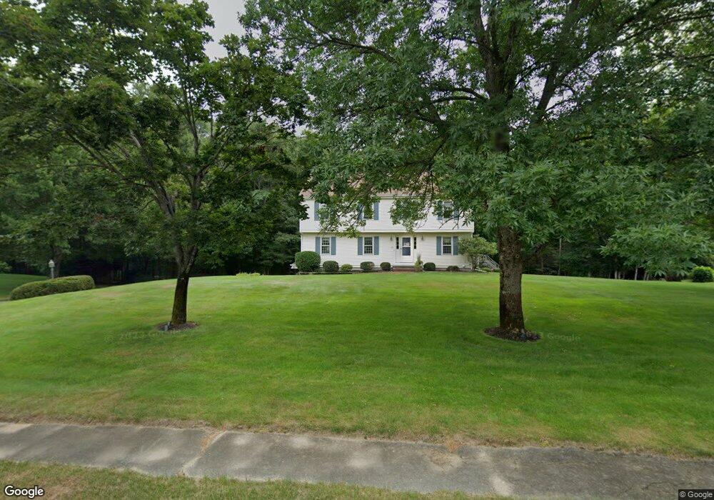
84 Brook Bend Rd Hanson, MA 02341
Estimated Value: $666,428 - $1,182,000
4
Beds
3
Baths
2,160
Sq Ft
$381/Sq Ft
Est. Value
About This Home
This home is located at 84 Brook Bend Rd, Hanson, MA 02341 and is currently estimated at $823,357, approximately $381 per square foot. 84 Brook Bend Rd is a home located in Plymouth County.
Ownership History
Date
Name
Owned For
Owner Type
Purchase Details
Closed on
May 24, 2017
Sold by
Jones Peter H and Jones Kathleen A
Bought by
Jones Ft
Current Estimated Value
Purchase Details
Closed on
Sep 1, 1989
Sold by
C&J Devlp Co Inc
Bought by
Jones Peter H
Home Financials for this Owner
Home Financials are based on the most recent Mortgage that was taken out on this home.
Original Mortgage
$100,000
Interest Rate
9.7%
Mortgage Type
Purchase Money Mortgage
Create a Home Valuation Report for This Property
The Home Valuation Report is an in-depth analysis detailing your home's value as well as a comparison with similar homes in the area
Home Values in the Area
Average Home Value in this Area
Purchase History
| Date | Buyer | Sale Price | Title Company |
|---|---|---|---|
| Jones Ft | -- | -- | |
| Jones Peter H | $229,000 | -- |
Source: Public Records
Mortgage History
| Date | Status | Borrower | Loan Amount |
|---|---|---|---|
| Previous Owner | Jones Peter H | $175,000 | |
| Previous Owner | Jones Peter H | $170,000 | |
| Previous Owner | Jones Peter H | $100,000 | |
| Previous Owner | Jones Peter H | $100,000 |
Source: Public Records
Tax History
| Year | Tax Paid | Tax Assessment Tax Assessment Total Assessment is a certain percentage of the fair market value that is determined by local assessors to be the total taxable value of land and additions on the property. | Land | Improvement |
|---|---|---|---|---|
| 2025 | $7,114 | $531,700 | $188,900 | $342,800 |
| 2024 | $6,974 | $521,200 | $183,500 | $337,700 |
| 2023 | $6,832 | $481,800 | $183,500 | $298,300 |
| 2022 | $6,614 | $438,300 | $166,800 | $271,500 |
| 2021 | $0 | $396,900 | $160,400 | $236,500 |
| 2020 | $5,905 | $386,700 | $154,900 | $231,800 |
| 2019 | $6,357 | $363,100 | $152,000 | $211,100 |
| 2018 | $0 | $349,400 | $146,200 | $203,200 |
| 2017 | $4,715 | $335,500 | $139,200 | $196,300 |
| 2016 | $5,414 | $327,100 | $139,200 | $187,900 |
| 2015 | $5,133 | $322,400 | $139,200 | $183,200 |
Source: Public Records
Map
Nearby Homes
- 430 Brook Bend Rd
- 339 State St
- 139 Fairwood Dr
- 108 Waterford Dr
- 26 Stonebridge Dr
- 161 Winter St Unit 11
- 127 Crescent Place
- 134 Crescent St
- Lot 5 Princeton Way
- 84 Liberty St
- 269 Lakeside Rd
- 724 Whitman St
- Lot 6 Way
- 114 Graham Hill Dr
- 51 Farmside Dr
- 95 Tecumseh Dr
- 361 County Rd
- 361A County Rd
- 7 Farmside Dr
- 17 Hayford Trail Unit 12
- 100 Brook Bend Rd
- 87 Brook Bend Rd
- 4 Arrowhead Dr
- 109 Brook Bend Rd
- 60 Brook Bend Rd
- 112 Brook Bend Rd
- 125 Brook Bend Rd
- 52 Winter Terrace
- 38 Winter Terrace
- 128 Brook Bend Rd
- 66 Winter Terrace
- 16 Winter Terrace
- 22 Brook Bend Rd
- 143 Brook St
- 131 Brook Bend Rd
- 21 Arrowhead Dr
- 15 Audubon Ln
- 84 Winter Terrace
- 142 Brook Bend Rd
- 9 Audubon Ln
Your Personal Tour Guide
Ask me questions while you tour the home.