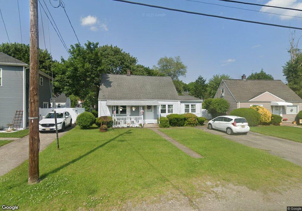
84 Burnside Place Haskell, NJ 07420
Estimated Value: $437,000 - $517,000
3
Beds
1
Bath
1,266
Sq Ft
$371/Sq Ft
Est. Value
About This Home
This home is located at 84 Burnside Place, Haskell, NJ 07420 and is currently estimated at $469,683, approximately $370 per square foot. 84 Burnside Place is a home located in Passaic County with nearby schools including Lakeland Reg High School and St Marys School.
Ownership History
Date
Name
Owned For
Owner Type
Purchase Details
Closed on
Nov 21, 1997
Sold by
Malson Douglas W and Malson Charlotte
Bought by
Lyons Bruce G and Lyons Barbara A
Current Estimated Value
Home Financials for this Owner
Home Financials are based on the most recent Mortgage that was taken out on this home.
Original Mortgage
$136,802
Outstanding Balance
$22,174
Interest Rate
7.14%
Mortgage Type
FHA
Estimated Equity
$447,509
Create a Home Valuation Report for This Property
The Home Valuation Report is an in-depth analysis detailing your home's value as well as a comparison with similar homes in the area
Home Values in the Area
Average Home Value in this Area
Purchase History
| Date | Buyer | Sale Price | Title Company |
|---|---|---|---|
| Lyons Bruce G | $138,000 | -- |
Source: Public Records
Mortgage History
| Date | Status | Borrower | Loan Amount |
|---|---|---|---|
| Open | Lyons Bruce G | $136,802 |
Source: Public Records
Tax History Compared to Growth
Tax History
| Year | Tax Paid | Tax Assessment Tax Assessment Total Assessment is a certain percentage of the fair market value that is determined by local assessors to be the total taxable value of land and additions on the property. | Land | Improvement |
|---|---|---|---|---|
| 2025 | $8,139 | $188,700 | $100,400 | $88,300 |
| 2024 | $7,726 | $188,700 | $100,400 | $88,300 |
| 2022 | $7,808 | $188,700 | $100,400 | $88,300 |
| 2021 | $7,639 | $188,700 | $100,400 | $88,300 |
| 2020 | $7,554 | $188,700 | $100,400 | $88,300 |
| 2019 | $7,373 | $188,700 | $100,400 | $88,300 |
| 2018 | $7,227 | $188,700 | $100,400 | $88,300 |
| 2017 | $7,057 | $188,700 | $100,400 | $88,300 |
| 2016 | $6,634 | $188,700 | $100,400 | $88,300 |
| 2015 | $6,536 | $188,700 | $100,400 | $88,300 |
| 2014 | $6,402 | $188,700 | $100,400 | $88,300 |
Source: Public Records
Map
Nearby Homes
- 86 Burnside Place
- 72 Burnside Place
- 38 Wanaque Ave
- 5 Storms Place
- 17 Locust St
- 1025 Ringwood Ave
- 9116 Warrens Way Unit 116
- 9116 Warrens Way
- 19 Dogwood Ln Unit 19
- 19 Dogwood Ln Unit U9F
- 23 Dogwood Ln
- 6 Elston Ct
- 9312 Warrens Way
- 10203 Warrens Way Unit 203
- 10203 Warrens Way Unit W/DEEDED GARAGE
- 43 Elston Ct Unit 301
- 8415 Warrens Way
- 29 Evergreen Ave
- 24 Roseland Ave
- 6116 Warrens Way
- 82 Burnside Place
- 88 Burnside Place
- 23 Bergen Ave
- 80 Burnside Place
- 21 Bergen Ave
- 19 Bergen Ave
- 27 Bergen Ave
- 81 Burnside Place
- 78 Burnside Place
- 85 Burnside Place
- 29 Bergen Ave
- 17 Bergen Ave
- 87 Burnside Place
- 77 Burnside Place
- 22 Bergen Ave
- 92 Burnside Place
- 15 Bergen Ave
- 24 Bergen Ave
- 20 Bergen Ave
- 89 Burnside Place