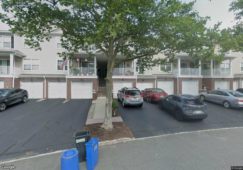
84 Carter Rd Haskell, NJ 07420
Estimated Value: $428,353 - $462,000
Studio
--
Bath
1,096
Sq Ft
$408/Sq Ft
Est. Value
About This Home
This home is located at 84 Carter Rd, Haskell, NJ 07420 and is currently estimated at $446,838, approximately $407 per square foot. 84 Carter Rd is a home located in Passaic County with nearby schools including Lakeland Reg High School and St Marys School.
Ownership History
Date
Name
Owned For
Owner Type
Purchase Details
Closed on
Jul 13, 2017
Sold by
Fawzi Louise and Naroelli Joanne Fiore
Bought by
Riebenfeld Connie A
Current Estimated Value
Home Financials for this Owner
Home Financials are based on the most recent Mortgage that was taken out on this home.
Original Mortgage
$229,900
Outstanding Balance
$191,061
Interest Rate
3.9%
Mortgage Type
New Conventional
Estimated Equity
$255,778
Purchase Details
Closed on
Feb 24, 2007
Sold by
Puzio Matthew J
Bought by
Fawzi Louise and Fiore Joann
Create a Home Valuation Report for This Property
The Home Valuation Report is an in-depth analysis detailing your home's value as well as a comparison with similar homes in the area
Home Values in the Area
Average Home Value in this Area
Purchase History
| Date | Buyer | Sale Price | Title Company |
|---|---|---|---|
| Riebenfeld Connie A | $242,000 | First American Title Ins Co | |
| Fawzi Louise | $325,000 | -- |
Source: Public Records
Mortgage History
| Date | Status | Borrower | Loan Amount |
|---|---|---|---|
| Open | Riebenfeld Connie A | $229,900 |
Source: Public Records
Tax History
| Year | Tax Paid | Tax Assessment Tax Assessment Total Assessment is a certain percentage of the fair market value that is determined by local assessors to be the total taxable value of land and additions on the property. | Land | Improvement |
|---|---|---|---|---|
| 2025 | $9,018 | $209,100 | $65,000 | $144,100 |
| 2024 | $8,839 | $209,100 | $65,000 | $144,100 |
| 2022 | $8,653 | $209,100 | $65,000 | $144,100 |
| 2021 | $8,464 | $209,100 | $65,000 | $144,100 |
| 2020 | $8,370 | $209,100 | $65,000 | $144,100 |
| 2019 | $8,170 | $209,100 | $65,000 | $144,100 |
| 2018 | $8,009 | $209,100 | $65,000 | $144,100 |
| 2017 | $7,820 | $209,100 | $65,000 | $144,100 |
| 2016 | $7,628 | $209,100 | $65,000 | $144,100 |
| 2015 | $7,519 | $209,100 | $65,000 | $144,100 |
| 2014 | $7,371 | $209,100 | $65,000 | $144,100 |
Source: Public Records
Map
Nearby Homes
- 59 Carter Rd Unit A2
- 72 Burnside Place
- 19 Dogwood Ln Unit 19
- 19 Dogwood Ln Unit U9F
- 23 Dogwood Ln
- 36 Elston Ct
- 9116 Warrens Way Unit 116
- 9116 Warrens Way
- 43 Elston Ct Unit 301
- 5 Storms Place
- 8212 Warrens Way
- 9411 Warrens Way
- 17 Locust St
- 8415 Warrens Way
- 1025 Ringwood Ave
- 10323 Warrens Way
- 10123 Warrens Way
- 7408 Warrens Way Unit DEEDED GARAGE &
- 7408 Warrens Way
- 7414 Warrens Way Unit 414
- 80 Carter Rd
- 86 Carter Rd Unit C2
- 88 Carter Rd Unit D1
- 90 Carter Rd
- 82 Carter Rd
- 76 Carter Rd
- 94 Carter Rd
- 92 Carter Rd
- 78 Carter Rd
- 98 Carter Rd
- 96 Carter Rd Unit F1
- 102 Carter Rd
- 100 Carter Rd
- 72 Carter Rd Unit H1
- 106 Carter Rd Unit H2
- 74 Carter Rd
- 104 Carter Rd Unit H1
- 70 Carter Rd
- 55 Carter Rd
- 110 Carter Rd Unit A2
Your Personal Tour Guide
Ask me questions while you tour the home.