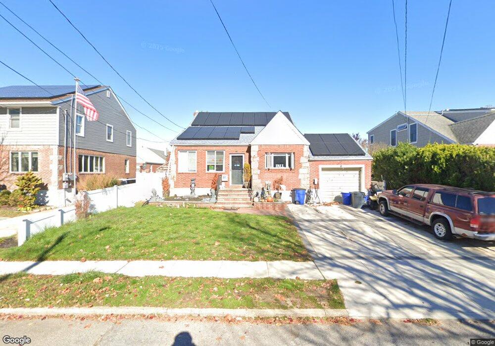
84 Dart St East Rockaway, NY 11518
Estimated Value: $678,000 - $715,388
--
Bed
1
Bath
1,772
Sq Ft
$393/Sq Ft
Est. Value
About This Home
This home is located at 84 Dart St, East Rockaway, NY 11518 and is currently estimated at $696,694, approximately $393 per square foot. 84 Dart St is a home located in Nassau County with nearby schools including East Rockaway Junior/Senior High School and Our Lady Of Peace School.
Ownership History
Date
Name
Owned For
Owner Type
Purchase Details
Closed on
Jul 30, 2019
Sold by
Monteverde Felix M and Monteverde Karla Y
Bought by
Monteverde Karla Y
Current Estimated Value
Purchase Details
Closed on
Jun 30, 2011
Sold by
Dematteo Daniel N and Corpuz Amelia
Bought by
Monteverde Felix M and Monteverde Karla Y
Home Financials for this Owner
Home Financials are based on the most recent Mortgage that was taken out on this home.
Original Mortgage
$299,566
Outstanding Balance
$208,412
Interest Rate
4.75%
Mortgage Type
FHA
Estimated Equity
$488,282
Create a Home Valuation Report for This Property
The Home Valuation Report is an in-depth analysis detailing your home's value as well as a comparison with similar homes in the area
Home Values in the Area
Average Home Value in this Area
Purchase History
| Date | Buyer | Sale Price | Title Company |
|---|---|---|---|
| Monteverde Karla Y | -- | Judicial Title | |
| Monteverde Felix M | $307,400 | -- |
Source: Public Records
Mortgage History
| Date | Status | Borrower | Loan Amount |
|---|---|---|---|
| Open | Monteverde Felix M | $299,566 |
Source: Public Records
Tax History Compared to Growth
Tax History
| Year | Tax Paid | Tax Assessment Tax Assessment Total Assessment is a certain percentage of the fair market value that is determined by local assessors to be the total taxable value of land and additions on the property. | Land | Improvement |
|---|---|---|---|---|
| 2025 | $10,506 | $426 | $169 | $257 |
| 2024 | $1,688 | $441 | $175 | $266 |
| 2023 | $9,818 | $448 | $178 | $270 |
| 2022 | $9,818 | $448 | $178 | $270 |
| 2021 | $11,159 | $467 | $186 | $281 |
| 2020 | $7,832 | $561 | $390 | $171 |
| 2019 | $7,527 | $601 | $356 | $245 |
| 2018 | $7,471 | $641 | $0 | $0 |
| 2017 | $6,298 | $705 | $418 | $287 |
| 2016 | $7,908 | $705 | $328 | $377 |
| 2015 | $1,667 | $744 | $346 | $398 |
| 2014 | $1,667 | $744 | $346 | $398 |
| 2013 | $1,872 | $898 | $418 | $480 |
Source: Public Records
Map
Nearby Homes
- 83 Adams St
- 69 Lawson Ave
- 28 Cammerer Ave
- 35 Lawson Ave
- 10 Dart St
- 153 Main St
- 490 Atlantic Ave Unit 218
- 490 Atlantic Ave Unit 330
- 209 Rhame Ave
- 5 E Ct
- 16 Main St Unit 2-Q
- 16 Main St Unit 3C
- 19 4th Ave
- 54 North Blvd
- 62 4th Ave
- 10 Bulaire Rd
- 42 Bulaire Rd
- 12 Hewlett Point Ave
- 7 East Blvd
- 51 Davison Ave