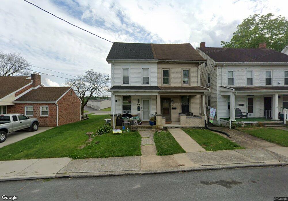
84 E Frederick St Dallastown, PA 17313
Estimated Value: $153,000 - $194,000
3
Beds
1
Bath
1,134
Sq Ft
$156/Sq Ft
Est. Value
About This Home
This home is located at 84 E Frederick St, Dallastown, PA 17313 and is currently estimated at $176,848, approximately $155 per square foot. 84 E Frederick St is a home located in York County with nearby schools including Dallastown Elementary School, Dallastown Area Middle School, and Dallastown Area High School.
Ownership History
Date
Name
Owned For
Owner Type
Purchase Details
Closed on
Sep 26, 2002
Sold by
Denton Lonnie D and Denton Candice S
Bought by
Bayman Brandy J
Current Estimated Value
Purchase Details
Closed on
Sep 25, 1998
Sold by
Ahrens Cynthia A and Ling Cynthia A
Bought by
Denton Lonnie D and Denton Candice S
Home Financials for this Owner
Home Financials are based on the most recent Mortgage that was taken out on this home.
Original Mortgage
$58,969
Interest Rate
6.87%
Mortgage Type
FHA
Create a Home Valuation Report for This Property
The Home Valuation Report is an in-depth analysis detailing your home's value as well as a comparison with similar homes in the area
Home Values in the Area
Average Home Value in this Area
Purchase History
| Date | Buyer | Sale Price | Title Company |
|---|---|---|---|
| Bayman Brandy J | $71,000 | -- | |
| Denton Lonnie D | $59,000 | -- |
Source: Public Records
Mortgage History
| Date | Status | Borrower | Loan Amount |
|---|---|---|---|
| Previous Owner | Denton Lonnie D | $58,969 |
Source: Public Records
Tax History
| Year | Tax Paid | Tax Assessment Tax Assessment Total Assessment is a certain percentage of the fair market value that is determined by local assessors to be the total taxable value of land and additions on the property. | Land | Improvement |
|---|---|---|---|---|
| 2025 | $2,360 | $67,930 | $19,620 | $48,310 |
| 2024 | $2,360 | $67,930 | $19,620 | $48,310 |
| 2023 | $2,360 | $67,930 | $19,620 | $48,310 |
| 2022 | $2,284 | $67,930 | $19,620 | $48,310 |
| 2021 | $2,154 | $67,930 | $19,620 | $48,310 |
| 2020 | $2,154 | $67,930 | $19,620 | $48,310 |
| 2019 | $2,147 | $67,930 | $19,620 | $48,310 |
| 2018 | $2,147 | $67,930 | $19,620 | $48,310 |
| 2017 | $2,064 | $67,930 | $19,620 | $48,310 |
| 2016 | $0 | $67,930 | $19,620 | $48,310 |
| 2015 | -- | $67,930 | $19,620 | $48,310 |
| 2014 | -- | $67,930 | $19,620 | $48,310 |
Source: Public Records
Map
Nearby Homes
- 356 E Main St
- 314 S Pleasant Ave
- 197 S Main St
- 240 Palomino Way
- 110 Valley Dr Unit 110
- 400 Carriage Ln Unit 400
- 414 S Park St
- 205 Teila Dr
- 39 W George St
- 651 Country Club Rd
- 337 Winners Cir Unit 337
- 417 Frederick Dr
- 327 1st Ave
- 454 Highland Rd
- 695 Oak Rd
- 129 Heather Glen Dr Unit 78
- 127 Heather Glen Dr Unit 80
- 404 N Main St
- 150 Yoe Dr
- 316 W Broadway
- 86 E Frederick St
- 82 E Frederick St
- 80 E Frederick St
- 78 E Frederick St
- 106 S Duke St
- 76 E Frederick St
- 76 E Frederick St Unit 2
- 76 E Frederick St
- 74 E Frederick St
- 108 S Duke St
- 495 E Frederick St
- 70 E Frederick St
- 70 E Frederick St Unit 1ST FLOOR
- 136 S Duke St
- 25 S Duke St
- 119 S Duke St
- 73 E Frederick St
- 66 E Frederick St
- 129 S Duke St
- 71 E Frederick St
Your Personal Tour Guide
Ask me questions while you tour the home.