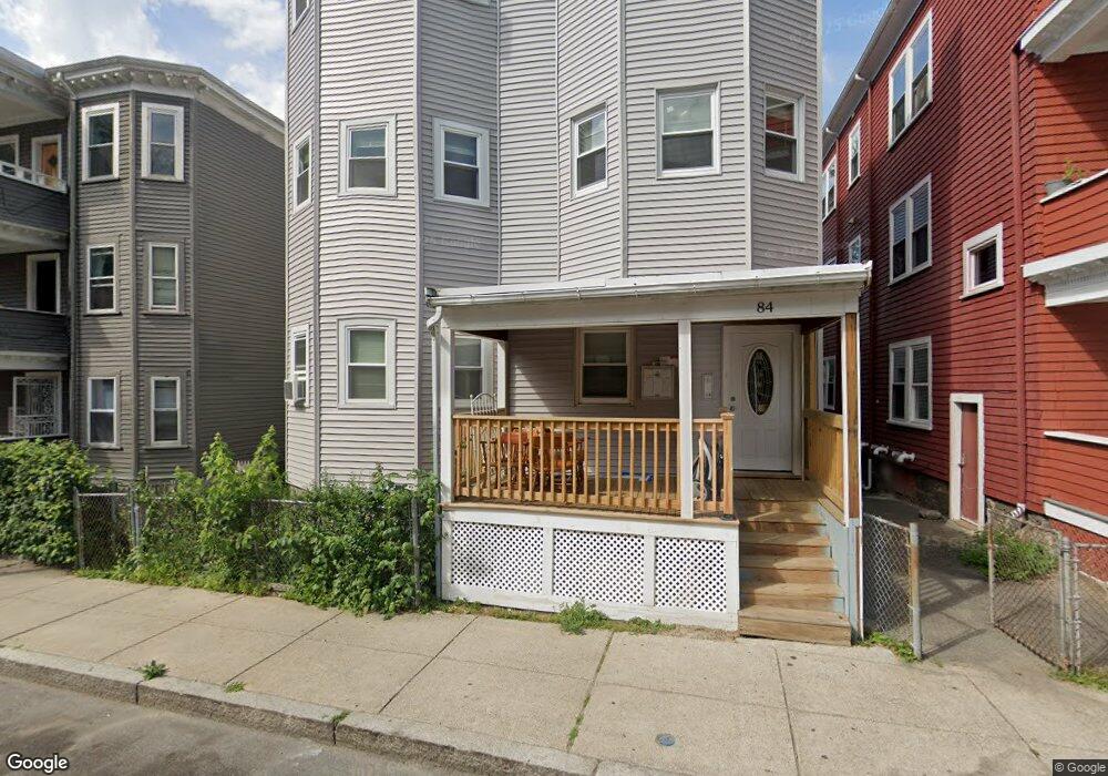
84 Fayston St Dorchester, MA 02121
Dudley-Brunswick King NeighborhoodEstimated Value: $770,000 - $1,479,664
15
Beds
3
Baths
4,104
Sq Ft
$289/Sq Ft
Est. Value
About This Home
This home is located at 84 Fayston St, Dorchester, MA 02121 and is currently estimated at $1,185,416, approximately $288 per square foot. 84 Fayston St is a home located in Suffolk County with nearby schools including Bridge Boston Charter School and Uncommon Schools Roxbury Prep Dorchester Campus.
Ownership History
Date
Name
Owned For
Owner Type
Purchase Details
Closed on
Feb 3, 2024
Sold by
Lam Jackson
Bought by
Fayston 84 Llc
Current Estimated Value
Purchase Details
Closed on
Nov 16, 1993
Sold by
Progressive Cnsmrs Cu
Bought by
Terry Willie T and Terry Mattie R
Purchase Details
Closed on
May 9, 1991
Sold by
Nesbitt Clyde A
Bought by
Progressive Cons Fcu
Create a Home Valuation Report for This Property
The Home Valuation Report is an in-depth analysis detailing your home's value as well as a comparison with similar homes in the area
Home Values in the Area
Average Home Value in this Area
Purchase History
| Date | Buyer | Sale Price | Title Company |
|---|---|---|---|
| Fayston 84 Llc | -- | None Available | |
| Terry Willie T | $10,000 | -- | |
| Progressive Cons Fcu | $126,000 | -- |
Source: Public Records
Mortgage History
| Date | Status | Borrower | Loan Amount |
|---|---|---|---|
| Previous Owner | Progressive Cons Fcu | $30,000 | |
| Previous Owner | Progressive Cons Fcu | $130,300 |
Source: Public Records
Tax History Compared to Growth
Tax History
| Year | Tax Paid | Tax Assessment Tax Assessment Total Assessment is a certain percentage of the fair market value that is determined by local assessors to be the total taxable value of land and additions on the property. | Land | Improvement |
|---|---|---|---|---|
| 2025 | $10,581 | $913,700 | $187,900 | $725,800 |
| 2024 | $5,799 | $532,000 | $245,500 | $286,500 |
| 2023 | $3,814 | $355,100 | $91,800 | $263,300 |
| 2022 | $8,781 | $807,100 | $208,700 | $598,400 |
| 2021 | $7,605 | $712,700 | $195,000 | $517,700 |
| 2020 | $6,162 | $583,500 | $208,600 | $374,900 |
| 2019 | $5,346 | $507,200 | $147,200 | $360,000 |
| 2018 | $5,315 | $507,200 | $147,200 | $360,000 |
| 2017 | $5,018 | $473,800 | $147,200 | $326,600 |
| 2016 | $4,532 | $412,000 | $147,200 | $264,800 |
| 2015 | $3,885 | $320,800 | $106,700 | $214,100 |
| 2014 | $3,705 | $294,500 | $106,700 | $187,800 |
Source: Public Records
Map
Nearby Homes
- 175 Howard Ave Unit 2
- 173 Magnolia St Unit 5
- 252-254 Magnolia St
- 47 Sargent St Unit 3
- 96-98 Woodledge St
- 52 Intervale St
- 130 Howard Ave
- 352 Blue Hill Ave Unit 8
- 63 Normandy St
- 2 Otisfield St
- 35 Dewey St Unit 35
- 31 Dewey St
- 18 Sargent St Unit B
- 40 Devon St Unit 3
- 103 Devon St
- 163 Howard Ave
- 108 Maywood St Unit 2
- 157-165 Stanwood St
- 91 Howard Ave
- 154 Stanwood St
- 84 Fayston St Unit 1TS
- 84 Fayston St Unit 2
- 84 Fayston St Unit 3
- 11 Mascoma St
- 86 Fayston St Unit 4
- 86 Fayston St
- 86 Fayston St
- 86 Fayston St Unit 1
- 86 Fayston St Unit 2
- 86 Fayston St Unit 3
- 82 Fayston St
- 80 Fayston St
- 7 Mascoma St
- 5 Mascoma St
- 78 Fayston St
- 2 Greenheys St
- 6 Mascoma St
- 207 Quincy St
- 207 Quincy St Unit 3
- 209 Quincy St