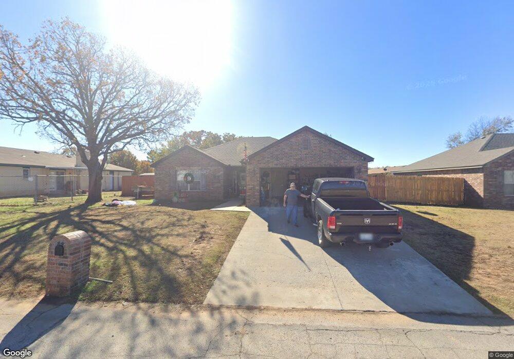
84 Foss Ln Mannford, OK 74044
Estimated Value: $170,454 - $211,000
3
Beds
2
Baths
1,525
Sq Ft
$123/Sq Ft
Est. Value
About This Home
This home is located at 84 Foss Ln, Mannford, OK 74044 and is currently estimated at $187,614, approximately $123 per square foot. 84 Foss Ln is a home with nearby schools including Mannford Upper Elementary School, Mannford Lower Elementary School, and Mannford Middle School.
Ownership History
Date
Name
Owned For
Owner Type
Purchase Details
Closed on
Jun 6, 2006
Sold by
Widick Thomas E and Widick Kaylen L
Bought by
Dearman Jeffrey R and Dearman Renita
Current Estimated Value
Home Financials for this Owner
Home Financials are based on the most recent Mortgage that was taken out on this home.
Original Mortgage
$85,000
Outstanding Balance
$49,733
Interest Rate
6.58%
Mortgage Type
New Conventional
Estimated Equity
$137,881
Create a Home Valuation Report for This Property
The Home Valuation Report is an in-depth analysis detailing your home's value as well as a comparison with similar homes in the area
Home Values in the Area
Average Home Value in this Area
Purchase History
| Date | Buyer | Sale Price | Title Company |
|---|---|---|---|
| Dearman Jeffrey R | $85,000 | None Available |
Source: Public Records
Mortgage History
| Date | Status | Borrower | Loan Amount |
|---|---|---|---|
| Open | Dearman Jeffrey R | $85,000 |
Source: Public Records
Tax History Compared to Growth
Tax History
| Year | Tax Paid | Tax Assessment Tax Assessment Total Assessment is a certain percentage of the fair market value that is determined by local assessors to be the total taxable value of land and additions on the property. | Land | Improvement |
|---|---|---|---|---|
| 2025 | $574 | $7,049 | $618 | $6,431 |
| 2024 | $554 | $6,844 | $600 | $6,244 |
| 2023 | $554 | $6,645 | $600 | $6,045 |
| 2022 | $499 | $6,451 | $600 | $5,851 |
| 2021 | $478 | $6,263 | $600 | $5,663 |
| 2020 | $475 | $6,081 | $600 | $5,481 |
| 2019 | $566 | $6,999 | $600 | $6,399 |
| 2018 | $943 | $10,680 | $1,950 | $8,730 |
| 2017 | $921 | $10,680 | $1,950 | $8,730 |
| 2016 | $916 | $10,680 | $1,950 | $8,730 |
| 2015 | -- | $10,680 | $1,950 | $8,730 |
| 2014 | -- | $10,581 | $1,800 | $8,781 |
Source: Public Records
Map
Nearby Homes
- 850 Texoma Place
- 233 Murray Place
- 73 Grand Place
- 32552 Meadowood Dr
- 0 Rock Creek Rd
- 0 Fox Rd Unit 2520331
- 750 Creek Ln
- 3891 Fox Run Rd
- 01 S 337th West Ave
- 32069 Meadow Ln
- 17407 W 1st St S
- 17554 W 1st St S
- 142 Elm St
- 34285 W Basin Rd
- 01 N 337th West Ave
- 1380 N Lakeview Ave
- 1454 N 337th West Ave
- 0 N 3740 Rd Unit 2538809
- 148 Greenbriar Cir
- 192 Greenbriar Cir
- null Texoma Place
- 1151 Texoma Place
- 896 Texoma Place
- 1380 Shasta Ln
- 0 Shasta Ln
- 12327 Keystone Loop
- 12327 Keystone Rd
- 1285 Shasta Ln
- null Shasta Ln
- 358 Green Leaf Place
- 1051 Gibson Place
- 829 Texoma Place
- 1204 Grand Place
- 1153 Shasta Ln
- 106 Shasta Ln
- 102 Shasta Lane L C
- 871 Canton Place
- 1014 Shasta Ln
- 797 Canton Place
- 770 Gibson Place