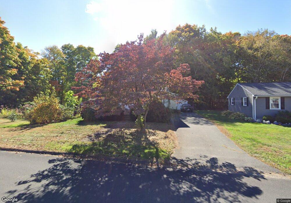
84 Grove Ave Bristol, CT 06010
Forestville NeighborhoodEstimated Value: $292,000 - $324,000
3
Beds
2
Baths
1,169
Sq Ft
$266/Sq Ft
Est. Value
About This Home
This home is located at 84 Grove Ave, Bristol, CT 06010 and is currently estimated at $311,240, approximately $266 per square foot. 84 Grove Ave is a home located in Hartford County with nearby schools including Northeast Middle School, Bristol Eastern High School, and St Matthew School.
Ownership History
Date
Name
Owned For
Owner Type
Purchase Details
Closed on
Jan 4, 2010
Sold by
Wininger Russell Lee and Winninger Donna L
Bought by
Bechert Kate E
Current Estimated Value
Home Financials for this Owner
Home Financials are based on the most recent Mortgage that was taken out on this home.
Original Mortgage
$166,870
Interest Rate
4.85%
Create a Home Valuation Report for This Property
The Home Valuation Report is an in-depth analysis detailing your home's value as well as a comparison with similar homes in the area
Home Values in the Area
Average Home Value in this Area
Purchase History
| Date | Buyer | Sale Price | Title Company |
|---|---|---|---|
| Bechert Kate E | $170,000 | -- |
Source: Public Records
Mortgage History
| Date | Status | Borrower | Loan Amount |
|---|---|---|---|
| Open | Bechert Kate E | $163,770 | |
| Closed | Bechert Kate E | $166,870 | |
| Previous Owner | Bechert Kate E | $50,000 | |
| Previous Owner | Bechert Kate E | $21,373 |
Source: Public Records
Tax History
| Year | Tax Paid | Tax Assessment Tax Assessment Total Assessment is a certain percentage of the fair market value that is determined by local assessors to be the total taxable value of land and additions on the property. | Land | Improvement |
|---|---|---|---|---|
| 2025 | $5,037 | $149,240 | $43,820 | $105,420 |
| 2024 | $4,729 | $148,470 | $43,820 | $104,650 |
| 2023 | $4,506 | $148,470 | $43,820 | $104,650 |
| 2022 | $4,250 | $110,810 | $35,560 | $75,250 |
| 2021 | $4,250 | $110,810 | $35,560 | $75,250 |
| 2020 | $4,250 | $110,810 | $35,560 | $75,250 |
| 2019 | $4,216 | $110,810 | $35,560 | $75,250 |
| 2018 | $4,087 | $110,810 | $35,560 | $75,250 |
| 2017 | $4,071 | $112,980 | $44,170 | $68,810 |
| 2016 | $4,071 | $112,980 | $44,170 | $68,810 |
| 2015 | $3,910 | $112,980 | $44,170 | $68,810 |
| 2014 | $3,910 | $112,980 | $44,170 | $68,810 |
Source: Public Records
Map
Nearby Homes
- 160 Fair St
- 262 Westwoods Terrace
- 179 Mark St
- 29 Bingham St
- 19 Bingham St
- 206 Burton St
- 169 Morningside Dr E
- 92 Garfield Rd
- 135 E Main St
- 33 Kenney St
- 0 Overlook Dr Unit Lot 3 24092446
- 0 Overlook Dr Unit Lot 4 24092448
- 158 E Main St
- 196 Frederick St
- 66 Beths Ave Unit 15
- 683 Pine St
- 79 Beths Ave Unit 100
- 55 Beths Ave Unit 77
- 20 Westchester Dr
- 225 Stonecrest Dr
- 72 Grove Ave
- 87 Grove Ave
- 114 Grove Ave
- 93 Grove Ave
- 107 Grove Ave
- 123 Grove Ave
- 9 Nicholas Dr Unit 13
- 10 Nicholas Dr Unit 12
- 68 Grove Ave
- 124 Grove Ave
- 63 Grove Ave
- 56 Grove Ave
- 58 Nicholas Dr
- 57 Nicholas Dr
- 60 Nicholas Dr
- 60 Nicholas Dr Unit 60
- 125 Fair St
- 59 Nicholas Dr
- 59 Nicholas Dr Unit 59
- 53 Grove Ave
Your Personal Tour Guide
Ask me questions while you tour the home.