84 Hayes St Waynesville, NC 28785
Estimated Value: $467,000 - $659,000
2
Beds
2
Baths
1,458
Sq Ft
$377/Sq Ft
Est. Value
About This Home
This home is located at 84 Hayes St, Waynesville, NC 28785 and is currently estimated at $549,510, approximately $376 per square foot. 84 Hayes St is a home with nearby schools including Jonathan Valley Elementary School, Waynesville Middle, and Tuscola High.
Ownership History
Date
Name
Owned For
Owner Type
Purchase Details
Closed on
Mar 20, 2012
Sold by
Worrell William D and Worrell Lorrie
Bought by
Csn Investments Llc
Current Estimated Value
Home Financials for this Owner
Home Financials are based on the most recent Mortgage that was taken out on this home.
Original Mortgage
$97,000
Outstanding Balance
$66,727
Interest Rate
3.9%
Mortgage Type
Purchase Money Mortgage
Estimated Equity
$482,783
Create a Home Valuation Report for This Property
The Home Valuation Report is an in-depth analysis detailing your home's value as well as a comparison with similar homes in the area
Home Values in the Area
Average Home Value in this Area
Purchase History
| Date | Buyer | Sale Price | Title Company |
|---|---|---|---|
| Csn Investments Llc | -- | None Available |
Source: Public Records
Mortgage History
| Date | Status | Borrower | Loan Amount |
|---|---|---|---|
| Open | Csn Investments Llc | $97,000 |
Source: Public Records
Tax History Compared to Growth
Tax History
| Year | Tax Paid | Tax Assessment Tax Assessment Total Assessment is a certain percentage of the fair market value that is determined by local assessors to be the total taxable value of land and additions on the property. | Land | Improvement |
|---|---|---|---|---|
| 2025 | -- | $415,700 | $83,900 | $331,800 |
| 2024 | $2,778 | $415,700 | $83,900 | $331,800 |
| 2023 | $2,778 | $415,700 | $83,900 | $331,800 |
| 2022 | $2,632 | $415,700 | $83,900 | $331,800 |
| 2021 | $2,632 | $415,700 | $83,900 | $331,800 |
| 2020 | $2,511 | $364,700 | $74,900 | $289,800 |
| 2019 | $2,516 | $364,700 | $74,900 | $289,800 |
| 2018 | $2,491 | $364,700 | $74,900 | $289,800 |
| 2017 | $2,516 | $364,700 | $0 | $0 |
| 2016 | $2,491 | $371,600 | $0 | $0 |
| 2015 | $2,491 | $371,600 | $0 | $0 |
| 2014 | $2,326 | $371,600 | $0 | $0 |
Source: Public Records
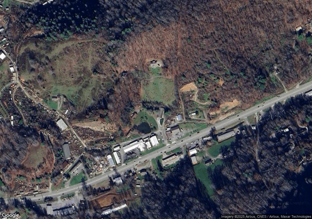
Map
Nearby Homes
- 3201 Dellwood Rd
- 3009 Dellwood Rd
- 415 Rovingwood Dr
- 34 Destination Dr
- 37 Destination Dr
- 30 Destination Dr
- 35 Destination Dr
- 36 Destination Dr
- 33 Destination Dr
- 9999 Whippoorwill Way Unit 6
- 166 Linsonwood Ridge
- 12 Whippoorwill Way
- 32 Destination Dr
- 31 Destination Dr
- 0 Bunker Hill Rd Unit CAR4298634
- 99999 Spy Rock Rd
- 0 Anglers Ridge Unit B1, B2,B3,B4
- 28 Ron's Ridge
- Lot 15 Constitution Ave
- 115 Teague Loop
- 87 Hayes St
- 87 Hayes St
- 3156 Dellwood Rd
- 33 Hayes St
- 36 Hayes St
- 219 Weathering Heights
- 149 Weathering Heights
- 20 Swanger Ln
- 11 Swanger Lane(off Dellwood Rd)
- 3101 Dellwood Rd
- 3101 Dellwood Rd
- 3211 Dellwood Rd
- 3255 Dellwood Rd
- 3281 Dellwood Rd
- 55 Swanger Ln
- 3068 Dellwood Rd
- 56 Swanger Ln
- 165 Gentian Way
- 93 Gentian Way
- 3325 Dellwood Rd