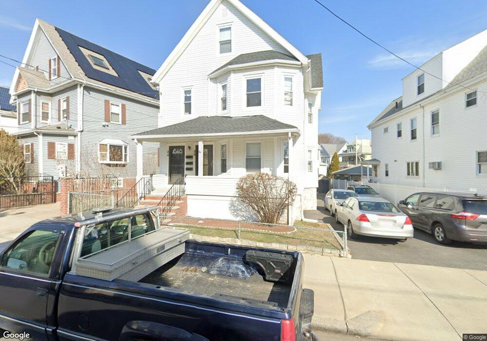
84 High St Unit 86 Malden, MA 02148
Belmont NeighborhoodEstimated Value: $920,000 - $1,036,000
5
Beds
3
Baths
2,543
Sq Ft
$377/Sq Ft
Est. Value
About This Home
This home is located at 84 High St Unit 86, Malden, MA 02148 and is currently estimated at $959,051, approximately $377 per square foot. 84 High St Unit 86 is a home located in Middlesex County with nearby schools including Malden High School, Mystic Valley Regional Charter School, and Cheverus Catholic School.
Ownership History
Date
Name
Owned For
Owner Type
Purchase Details
Closed on
Dec 13, 2019
Sold by
Robinson Brian
Bought by
Glenwood Realty Llc
Current Estimated Value
Purchase Details
Closed on
Feb 6, 2019
Sold by
High Street Rt
Bought by
Robinson Brian
Purchase Details
Closed on
Oct 22, 2014
Sold by
Bruce Linda L
Bought by
High Street Rt and Bruce Linda L
Purchase Details
Closed on
Dec 30, 2004
Sold by
Ford Doris V and Ford William F
Bought by
Ford William F
Create a Home Valuation Report for This Property
The Home Valuation Report is an in-depth analysis detailing your home's value as well as a comparison with similar homes in the area
Home Values in the Area
Average Home Value in this Area
Purchase History
| Date | Buyer | Sale Price | Title Company |
|---|---|---|---|
| Glenwood Realty Llc | -- | None Available | |
| Robinson Brian | $575,000 | -- | |
| High Street Rt | -- | -- | |
| Ford William F | -- | -- |
Source: Public Records
Tax History Compared to Growth
Tax History
| Year | Tax Paid | Tax Assessment Tax Assessment Total Assessment is a certain percentage of the fair market value that is determined by local assessors to be the total taxable value of land and additions on the property. | Land | Improvement |
|---|---|---|---|---|
| 2025 | $97 | $858,000 | $288,100 | $569,900 |
| 2024 | $9,423 | $806,100 | $272,100 | $534,000 |
| 2023 | $9,112 | $747,500 | $248,100 | $499,400 |
| 2022 | $8,751 | $708,600 | $224,100 | $484,500 |
| 2021 | $8,414 | $684,600 | $200,100 | $484,500 |
| 2020 | $8,172 | $646,000 | $193,300 | $452,700 |
| 2019 | $7,743 | $583,500 | $184,100 | $399,400 |
| 2018 | $7,463 | $529,700 | $152,100 | $377,600 |
| 2017 | $7,050 | $497,500 | $146,100 | $351,400 |
| 2016 | $6,498 | $428,600 | $134,000 | $294,600 |
| 2015 | $6,298 | $400,400 | $127,600 | $272,800 |
| 2014 | $5,943 | $369,100 | $116,000 | $253,100 |
Source: Public Records
Map
Nearby Homes
- 89 Judson St
- 72 Ashland St Unit 307
- 17 Garland Ave
- 15-17 Barrett St
- 4 Cross St Unit 1
- 80 Main St Unit 9
- 23 Pratt St
- 44 Stevens St
- 55 Clarendon St
- 28 Shawmut St
- 74 Madison St
- 23 Upham St
- 13-15 Benner Ave
- 67 Converse Ave Unit 69
- 100 Medford St
- 16 Boylston St
- 58 Regent Rd
- 153A Belmont St
- 210 Hancock St
- 272-274 Cross St Unit 1A
- 88 High St Unit 90
- 80 High St
- 76 High St
- 65 Judson St
- 85 High St
- 85 High St Unit 1
- 81 High St Unit 83
- 81 High St Unit 1
- 87 High St
- 79 High St
- 83 High St
- 72 High St
- 77 High St Unit 77
- 61 Judson St Unit 63
- 61 Judson St Unit 2
- 85 Judson St
- 33 Wilson Ave
- 57-59 Judson St
- 70 Judson St
- 72 Judson St Unit 74