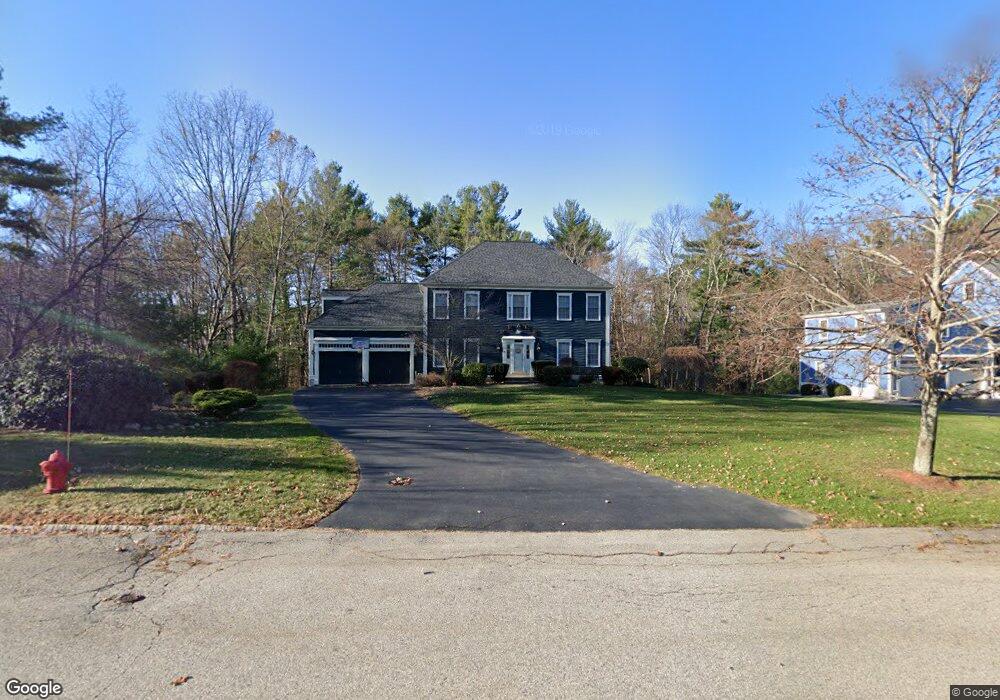
84 Little Pond Rd Northborough, MA 01532
Estimated Value: $979,814 - $1,076,000
4
Beds
3
Baths
2,620
Sq Ft
$394/Sq Ft
Est. Value
About This Home
This home is located at 84 Little Pond Rd, Northborough, MA 01532 and is currently estimated at $1,032,271, approximately $393 per square foot. 84 Little Pond Rd is a home located in Worcester County with nearby schools including Marion E. Zeh Elementary School, Robert E. Melican Middle School, and Algonquin Regional High School.
Ownership History
Date
Name
Owned For
Owner Type
Purchase Details
Closed on
Jul 9, 1999
Sold by
Tall Pines Rt
Bought by
Mcgarry Thomas D and Mcgarry Marlayne M
Current Estimated Value
Home Financials for this Owner
Home Financials are based on the most recent Mortgage that was taken out on this home.
Original Mortgage
$200,000
Interest Rate
7.19%
Mortgage Type
Purchase Money Mortgage
Create a Home Valuation Report for This Property
The Home Valuation Report is an in-depth analysis detailing your home's value as well as a comparison with similar homes in the area
Home Values in the Area
Average Home Value in this Area
Purchase History
| Date | Buyer | Sale Price | Title Company |
|---|---|---|---|
| Mcgarry Thomas D | $388,450 | -- |
Source: Public Records
Mortgage History
| Date | Status | Borrower | Loan Amount |
|---|---|---|---|
| Open | Mcgarry Thomas D | $200,000 | |
| Open | Mcgarry Thomas D | $300,700 | |
| Closed | Mcgarry Thomas D | $200,000 |
Source: Public Records
Tax History Compared to Growth
Tax History
| Year | Tax Paid | Tax Assessment Tax Assessment Total Assessment is a certain percentage of the fair market value that is determined by local assessors to be the total taxable value of land and additions on the property. | Land | Improvement |
|---|---|---|---|---|
| 2025 | $13,218 | $927,600 | $312,600 | $615,000 |
| 2024 | $11,845 | $829,500 | $257,800 | $571,700 |
| 2023 | $11,220 | $758,600 | $243,100 | $515,500 |
| 2022 | $10,715 | $649,800 | $231,600 | $418,200 |
| 2021 | $10,368 | $605,600 | $210,300 | $395,300 |
| 2020 | $10,728 | $621,900 | $209,600 | $412,300 |
| 2019 | $10,427 | $608,000 | $203,400 | $404,600 |
| 2018 | $10,363 | $595,900 | $195,700 | $400,200 |
| 2017 | $10,177 | $585,200 | $195,700 | $389,500 |
| 2016 | $10,118 | $589,300 | $195,700 | $393,600 |
| 2015 | $9,113 | $544,700 | $212,400 | $332,300 |
| 2014 | $8,730 | $526,200 | $212,400 | $313,800 |
Source: Public Records
Map
Nearby Homes
- 13 Deacon St
- 490 Main St Unit 301
- 490 Main St Unit 101
- 129 Bartlett St
- 26 Maple St
- 6 Vanessa Dr
- 14 Vanessa Dr
- 6 Silas Dr
- 85 Hudson St Unit 85
- 86 Whitney St
- 59 School St Unit A-14
- 460 Whitney St
- 281 Whitney St
- 5 Swan View Common Dr
- 71 Summer St
- 28 Evelina Dr
- 54 Evelina Dr
- 120 Airport Blvd
- 107 Washburn St
- 405 Whitney St
- 80 Little Pond Rd
- 81 Little Pond Rd
- 20 Little Pond Rd
- 76 Little Pond Rd
- 24 Little Pond Rd
- 85 Little Pond Rd
- 79 Little Pond Rd
- 66 Lot 66--20 Little Pond
- 345 Main St
- 20 Gates Ln
- 16 Little Pond Rd
- 353 Main St
- 72 Little Pond Rd
- 75 Little Pond Rd
- 75 Little Pond Rd Unit 1
- 28 Little Pond Rd
- 355 Main St Unit B
- 355 Main St Unit A
- 355 Main St Unit B
- 12 Little Pond Rd