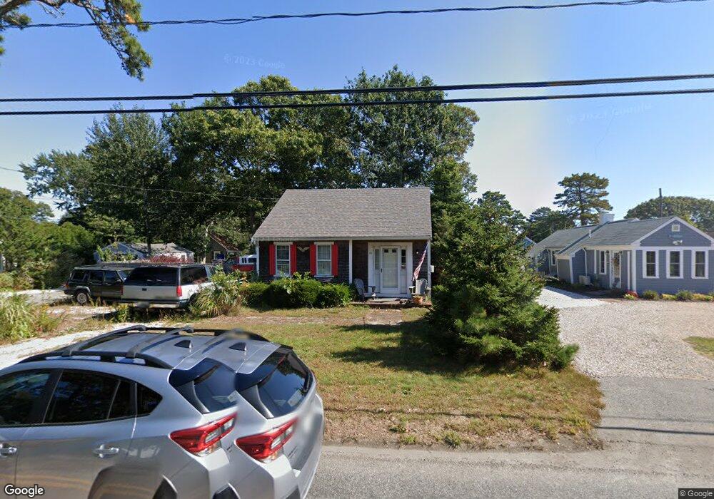
84 Loring Ave West Dennis, MA 02670
West Dennis NeighborhoodEstimated Value: $306,000 - $609,000
2
Beds
1
Bath
578
Sq Ft
$781/Sq Ft
Est. Value
About This Home
This home is located at 84 Loring Ave, West Dennis, MA 02670 and is currently estimated at $451,580, approximately $781 per square foot. 84 Loring Ave is a home located in Barnstable County with nearby schools including Dennis-Yarmouth Regional High School and St. Pius X. School.
Ownership History
Date
Name
Owned For
Owner Type
Purchase Details
Closed on
Apr 27, 1990
Sold by
Ryan Judith A
Bought by
Hasenfus John T
Current Estimated Value
Home Financials for this Owner
Home Financials are based on the most recent Mortgage that was taken out on this home.
Original Mortgage
$82,400
Interest Rate
10.26%
Mortgage Type
Purchase Money Mortgage
Create a Home Valuation Report for This Property
The Home Valuation Report is an in-depth analysis detailing your home's value as well as a comparison with similar homes in the area
Home Values in the Area
Average Home Value in this Area
Purchase History
| Date | Buyer | Sale Price | Title Company |
|---|---|---|---|
| Hasenfus John T | $103,000 | -- |
Source: Public Records
Mortgage History
| Date | Status | Borrower | Loan Amount |
|---|---|---|---|
| Open | Hasenfus John T | $75,200 | |
| Closed | Hasenfus John T | $82,400 |
Source: Public Records
Tax History Compared to Growth
Tax History
| Year | Tax Paid | Tax Assessment Tax Assessment Total Assessment is a certain percentage of the fair market value that is determined by local assessors to be the total taxable value of land and additions on the property. | Land | Improvement |
|---|---|---|---|---|
| 2025 | $1,578 | $364,500 | $142,000 | $222,500 |
| 2024 | $1,433 | $326,500 | $136,500 | $190,000 |
| 2023 | $1,387 | $296,900 | $124,100 | $172,800 |
| 2022 | $1,399 | $249,800 | $123,000 | $126,800 |
| 2021 | $1,339 | $222,100 | $120,600 | $101,500 |
| 2020 | $1,365 | $223,700 | $131,500 | $92,200 |
| 2019 | $1,137 | $184,200 | $107,500 | $76,700 |
| 2018 | $11,251 | $227,300 | $153,400 | $73,900 |
| 2017 | $1,196 | $194,400 | $122,800 | $71,600 |
| 2016 | $1,293 | $198,000 | $138,100 | $59,900 |
| 2015 | $1,267 | $198,000 | $138,100 | $59,900 |
| 2014 | $1,257 | $198,000 | $138,100 | $59,900 |
Source: Public Records
Map
Nearby Homes
- 2 Rita Mary Way
- 14 Schoolhouse Ln
- 209 Main St Unit 3
- 209 Main St Unit 6
- 209 Main St Unit 1
- 209 Main St Unit 2
- 209 Main St Unit 4
- 209 Main St Unit 5
- 308 Old Main St
- 23 Doric Ave
- 178 School St
- 45 Seth Ln
- 40 Kelley Rd
- 181 Pleasant St
- 401 Main St Unit 201
- 401 Main St Unit 101
- 29 Bass River Rd
- 18 Turner Ln
- 22 Powhatan Rd
- 467 Main St
- 4 Uncle Frank's Ln
- 4 Uncle Franks Rd
- 82 Loring Ave
- 11 Duck Ln
- 10 Uncle Franks Rd
- 0 Duck Ln
- 3 Uncle Franks Rd
- 8 Duck Ln
- 7 Uncle Franks Rd
- 80 Loring Ave
- 6 Brooksweld Ln
- 14 Uncle Franks Rd
- 96 Loring Ave
- 13 Duck Ln
- 14 Duck Ln
- 11 Uncle Franks Rd
- 10 Uncle Nicks Rd
- 5 Duck Ln
- 10 Brooksweld Ln
- 20 Chase Ave Unit 19C