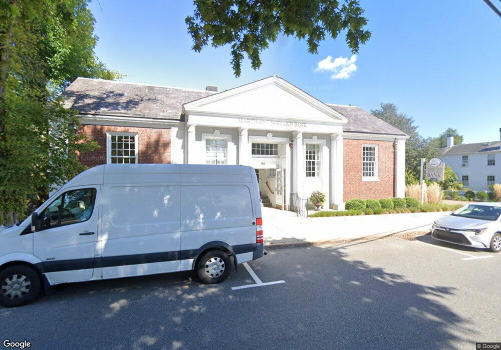
84 Main St Falmouth, MA 2540
Falmouth Village Neighborhood
--
Bed
3
Baths
6,398
Sq Ft
1.03
Acres
About This Home
This home is located at 84 Main St, Falmouth, MA 2540. 84 Main St is a home located in Barnstable County with nearby schools including Mullen-Hall School, Lawrence School, and Morse Pond School.
Ownership History
Date
Name
Owned For
Owner Type
Purchase Details
Closed on
Oct 1, 2020
Sold by
Bank Of America Na
Bought by
84 Main Street Llc
Purchase Details
Closed on
Dec 28, 1993
Sold by
Shore Hancock Inc
Bought by
South Shore Bk
Purchase Details
Closed on
Dec 31, 1991
Sold by
Falmouth Natl Bank
Bought by
F N B Properties Inc
Home Financials for this Owner
Home Financials are based on the most recent Mortgage that was taken out on this home.
Original Mortgage
$872,160
Interest Rate
8.62%
Mortgage Type
Commercial
Create a Home Valuation Report for This Property
The Home Valuation Report is an in-depth analysis detailing your home's value as well as a comparison with similar homes in the area
Home Values in the Area
Average Home Value in this Area
Purchase History
| Date | Buyer | Sale Price | Title Company |
|---|---|---|---|
| 84 Main Street Llc | $2,200,000 | None Available | |
| South Shore Bk | $1,685,750 | -- | |
| F N B Properties Inc | $1,090,200 | -- | |
| F N B Properties Inc | $1,090,200 | -- |
Source: Public Records
Mortgage History
| Date | Status | Borrower | Loan Amount |
|---|---|---|---|
| Previous Owner | F N B Properties Inc | $872,160 |
Source: Public Records
Tax History Compared to Growth
Tax History
| Year | Tax Paid | Tax Assessment Tax Assessment Total Assessment is a certain percentage of the fair market value that is determined by local assessors to be the total taxable value of land and additions on the property. | Land | Improvement |
|---|---|---|---|---|
| 2025 | $15,187 | $2,587,300 | $853,100 | $1,734,200 |
| 2024 | $15,400 | $2,452,300 | $774,500 | $1,677,800 |
| 2023 | $14,973 | $2,163,700 | $673,500 | $1,490,200 |
| 2022 | $15,255 | $1,895,000 | $572,500 | $1,322,500 |
| 2021 | $14,325 | $1,685,300 | $545,500 | $1,139,800 |
| 2020 | $14,479 | $1,685,600 | $545,500 | $1,140,100 |
| 2019 | $14,427 | $1,685,400 | $545,500 | $1,139,900 |
| 2018 | $14,529 | $1,669,400 | $529,800 | $1,139,600 |
| 2017 | $13,988 | $1,639,900 | $516,400 | $1,123,500 |
| 2016 | $13,726 | $1,639,900 | $516,400 | $1,123,500 |
| 2015 | $13,431 | $1,639,900 | $516,400 | $1,123,500 |
| 2014 | $12,029 | $1,476,000 | $478,700 | $997,300 |
Source: Public Records
Map
Nearby Homes
- 98 Main St Unit 1
- 71 Main St
- 30 Katherine Lee Bates Rd
- 33 Oakwood Ave
- 57 Meadow Ln
- 480 Main St Unit 1
- 110 Dillingham Ave Unit 322
- 13 Two Ponds Rd
- 133 Mariners Ln
- 121 Allen Ave
- 276 Shore St
- 354 Gifford St Unit 6
- 354 Gifford St Unit 5
- 354 Gifford St Unit 2
- 63 Two Ponds Rd
- 253 Scranton Ave
- 9 Fairmount Ave Unit 1
- 9 Fairmount Ave Unit 2
- 9 Fairmount Ave
- 98 Main St Unit 2
- 78 Main St
- 108 Main St
- 29 Main St
- 120 Main St
- 68 Katherine Lee Bates Rd
- 68 Main St
- 0 Inlet Unit 72265958
- Lot Crystal Springs
- 0 Hiken Way Unit 71868948
- 0 Inlet Unit 71937215
- 0 Inlet Unit 72079053
- Lots3A-4-5 Hiken Way
- 0 Hiken Way Unit 21108226
- 0 Hiken Way Unit 21108206
- 0 Hiken Way Unit 21409441
- 0 Hiken Way Unit 21506631
- 0 Inlet Unit 21511029
- 0 Hiken Way Unit 21610214
- 145-147 Shorewood Dr4