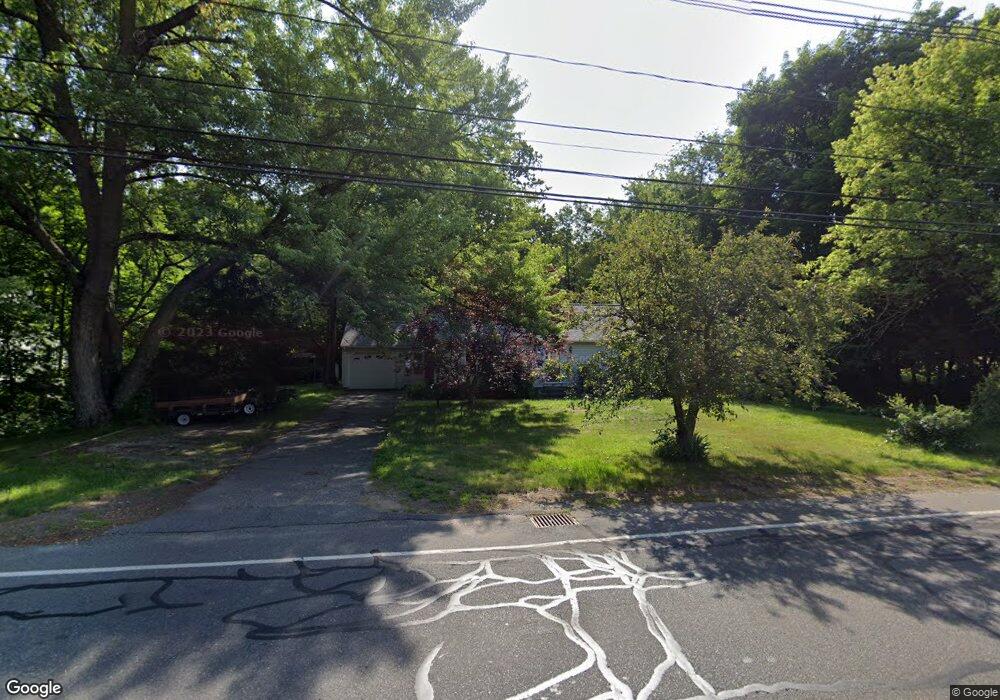
84 Main St Wilbraham, MA 01095
Estimated Value: $324,057 - $404,000
2
Beds
1
Bath
997
Sq Ft
$351/Sq Ft
Est. Value
About This Home
This home is located at 84 Main St, Wilbraham, MA 01095 and is currently estimated at $349,514, approximately $350 per square foot. 84 Main St is a home located in Hampden County with nearby schools including Minnechaug Regional High School and Wilbraham & Monson Academy.
Ownership History
Date
Name
Owned For
Owner Type
Purchase Details
Closed on
Feb 26, 2025
Sold by
Forest Kathie L
Bought by
Forest Robert M
Current Estimated Value
Purchase Details
Closed on
Nov 21, 1997
Sold by
Setian Sara and Lovett Thomas F
Bought by
Forest Robert M and Forest Kathie L
Purchase Details
Closed on
Sep 5, 1995
Sold by
Setian Shirley Y
Bought by
Lovett Thomas F and Setian Sara
Purchase Details
Closed on
Aug 3, 1989
Sold by
Bogue Florence
Bought by
Setian Shirley
Create a Home Valuation Report for This Property
The Home Valuation Report is an in-depth analysis detailing your home's value as well as a comparison with similar homes in the area
Home Values in the Area
Average Home Value in this Area
Purchase History
| Date | Buyer | Sale Price | Title Company |
|---|---|---|---|
| Forest Robert M | -- | None Available | |
| Forest Robert M | -- | None Available | |
| Forest Robert M | $126,500 | -- | |
| Forest Robert M | $126,500 | -- | |
| Lovett Thomas F | $119,000 | -- | |
| Lovett Thomas F | $119,000 | -- | |
| Setian Shirley | $120,000 | -- |
Source: Public Records
Mortgage History
| Date | Status | Borrower | Loan Amount |
|---|---|---|---|
| Previous Owner | Setian Shirley | $98,500 | |
| Previous Owner | Setian Shirley | $15,400 |
Source: Public Records
Tax History Compared to Growth
Tax History
| Year | Tax Paid | Tax Assessment Tax Assessment Total Assessment is a certain percentage of the fair market value that is determined by local assessors to be the total taxable value of land and additions on the property. | Land | Improvement |
|---|---|---|---|---|
| 2025 | $5,151 | $288,100 | $80,400 | $207,700 |
| 2024 | $5,078 | $274,500 | $80,400 | $194,100 |
| 2023 | $4,750 | $265,600 | $80,400 | $185,200 |
| 2022 | $4,750 | $231,800 | $80,400 | $151,400 |
| 2021 | $4,541 | $197,800 | $86,300 | $111,500 |
| 2020 | $4,427 | $197,800 | $86,300 | $111,500 |
| 2019 | $4,314 | $197,900 | $86,300 | $111,600 |
| 2018 | $4,091 | $180,700 | $86,300 | $94,400 |
| 2017 | $3,975 | $180,700 | $86,300 | $94,400 |
| 2016 | $3,938 | $182,300 | $95,800 | $86,500 |
| 2015 | $3,806 | $182,300 | $95,800 | $86,500 |
Source: Public Records
Map
Nearby Homes
- 2 Vista Rd
- 54 High Pine Cir
- 69 High Pine Cir
- 35 Lake Dr
- 4 Hillcrest Dr
- 182 Mountain Rd
- 46 Washington Rd
- 20 Old Orchard Rd
- 28 Decorie Dr
- 474-480 Mountain Rd
- 2 Bayberry Dr Unit 51
- 88-90 Miller St
- 474 Mountain Rd
- 8 Patriot Ridge Ln
- 38 King Dr
- 19 Linwood Dr
- 6 Teak Terrace Unit 24
- 22 Balsam Hill Rd
- 319 Ventura St
- 229 Miller St Unit F-13