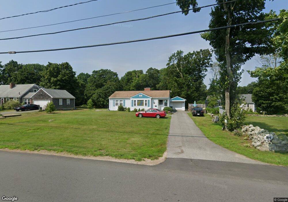
84 Maple Ave Swansea, MA 02777
Luther Corner NeighborhoodEstimated Value: $432,169 - $512,000
3
Beds
1
Bath
1,015
Sq Ft
$461/Sq Ft
Est. Value
About This Home
This home is located at 84 Maple Ave, Swansea, MA 02777 and is currently estimated at $467,542, approximately $460 per square foot. 84 Maple Ave is a home located in Bristol County with nearby schools including Joseph Case High School, East Bay Career Academy, and Swansea Wood School.
Ownership History
Date
Name
Owned For
Owner Type
Purchase Details
Closed on
Aug 19, 2022
Sold by
Morse Marion
Bought by
Morse Marion
Current Estimated Value
Purchase Details
Closed on
Oct 14, 2015
Sold by
Furtado Louis H
Bought by
Morse Marion L and Furtado Louis H
Purchase Details
Closed on
Jun 28, 1965
Bought by
Morse Marion L and Furtado Louis H
Create a Home Valuation Report for This Property
The Home Valuation Report is an in-depth analysis detailing your home's value as well as a comparison with similar homes in the area
Home Values in the Area
Average Home Value in this Area
Purchase History
| Date | Buyer | Sale Price | Title Company |
|---|---|---|---|
| Morse Marion | -- | None Available | |
| Morse Marion L | -- | -- | |
| Morse Marion L | -- | -- |
Source: Public Records
Mortgage History
| Date | Status | Borrower | Loan Amount |
|---|---|---|---|
| Previous Owner | Morse Marion L | $15,000 |
Source: Public Records
Tax History Compared to Growth
Tax History
| Year | Tax Paid | Tax Assessment Tax Assessment Total Assessment is a certain percentage of the fair market value that is determined by local assessors to be the total taxable value of land and additions on the property. | Land | Improvement |
|---|---|---|---|---|
| 2025 | $4,542 | $381,000 | $176,000 | $205,000 |
| 2024 | $4,256 | $355,000 | $176,000 | $179,000 |
| 2023 | $4,031 | $307,000 | $128,700 | $178,300 |
| 2022 | $3,963 | $275,400 | $117,000 | $158,400 |
| 2021 | $3,725 | $238,300 | $117,000 | $121,300 |
| 2020 | $3,710 | $238,100 | $117,000 | $121,100 |
| 2019 | $3,498 | $225,500 | $104,400 | $121,100 |
| 2018 | $3,357 | $219,700 | $102,700 | $117,000 |
| 2017 | $2,918 | $219,700 | $102,700 | $117,000 |
| 2016 | $2,761 | $204,200 | $88,400 | $115,800 |
| 2015 | $2,528 | $192,500 | $88,400 | $104,100 |
| 2014 | $2,490 | $193,900 | $88,400 | $105,500 |
Source: Public Records
Map
Nearby Homes
- 79 Cedar Ave
- 34 Columbia Rd
- 447 Old Warren Rd
- 46 Magnolia Dr
- 1405 Gar Hwy Unit A
- 105 Birchwood Dr
- 25 Inverness Rd
- Lot 11 Lynch
- 0 Proprietors Way Unit 73324662
- Lot 10 Lynch
- 41 James Ave
- 20 Sherbourne Ave
- 4 Meadowbrook Ave
- 153 Puffer Ave
- 147 Bushee Rd
- 196 Coolidge St
- 0 Hortonville Rd Unit 73242268
- 194 Hortonville Rd
- 502 Ocean Grove Ave
- 19 Richard Rd