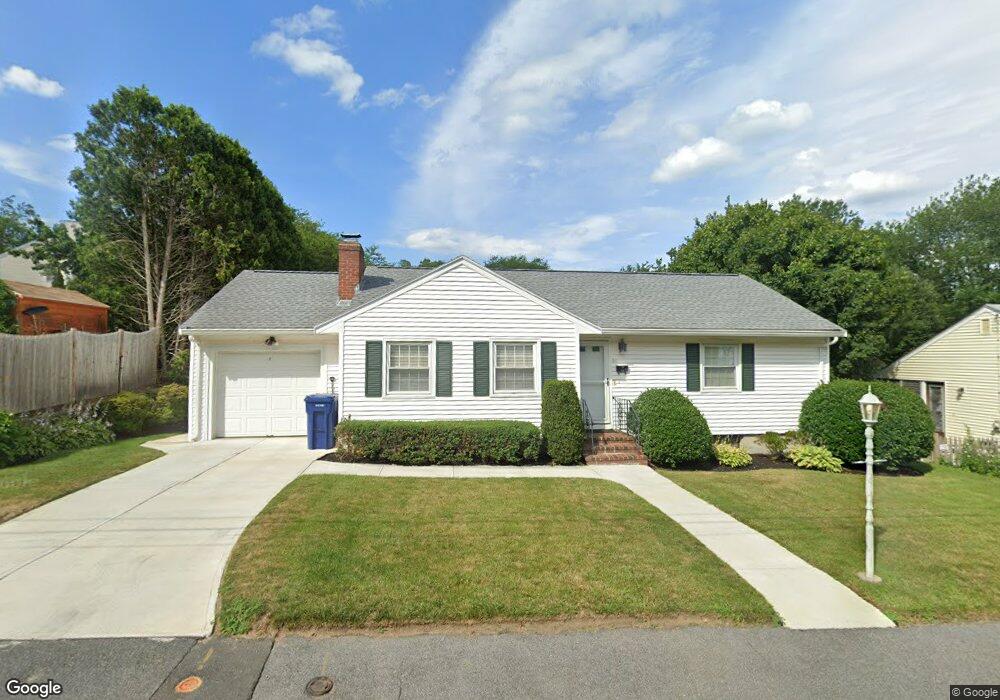
84 Moffatt Rd Salem, MA 01970
South Salem NeighborhoodEstimated Value: $613,433 - $656,000
3
Beds
1
Bath
1,176
Sq Ft
$541/Sq Ft
Est. Value
About This Home
This home is located at 84 Moffatt Rd, Salem, MA 01970 and is currently estimated at $636,108, approximately $540 per square foot. 84 Moffatt Rd is a home located in Essex County with nearby schools including Saltonstall School, Horace Mann Laboratory, and Witchcraft Heights Elementary School.
Create a Home Valuation Report for This Property
The Home Valuation Report is an in-depth analysis detailing your home's value as well as a comparison with similar homes in the area
Home Values in the Area
Average Home Value in this Area
Tax History
| Year | Tax Paid | Tax Assessment Tax Assessment Total Assessment is a certain percentage of the fair market value that is determined by local assessors to be the total taxable value of land and additions on the property. | Land | Improvement |
|---|---|---|---|---|
| 2025 | $6,586 | $580,800 | $224,300 | $356,500 |
| 2024 | $6,592 | $567,300 | $211,700 | $355,600 |
| 2023 | $6,331 | $506,100 | $192,700 | $313,400 |
| 2022 | $5,704 | $430,500 | $176,900 | $253,600 |
| 2021 | $5,503 | $398,800 | $164,300 | $234,500 |
| 2020 | $5,378 | $372,200 | $161,100 | $211,100 |
| 2019 | $5,243 | $347,200 | $151,700 | $195,500 |
| 2018 | $5,063 | $329,200 | $141,500 | $187,700 |
| 2017 | $5,007 | $315,700 | $132,700 | $183,000 |
| 2016 | $4,975 | $317,500 | $132,700 | $184,800 |
| 2015 | $4,518 | $275,300 | $116,900 | $158,400 |
Source: Public Records
Map
Nearby Homes
- 2 Halsey Way Unit 40C
- 28 Surrey Rd
- 8 Russell Dr Unit 7D
- 3 Stillwell Dr Unit 10B
- 106 Broadway Unit 3
- 79 Lawrence St
- 6 Arthur St Unit 3
- 259 Jefferson Ave
- 29 Willson St
- 469 Loring Ave
- 24 Wisteria St Unit 2
- 4 Fairview Rd
- 326 Lafayette St Unit 2
- 37 Weatherly Dr
- 49 Weatherly Dr
- 30 Weatherly Dr
- 11 Weatherly Dr
- 5 Willson Rd
- 11 Angenica Terrace
- 12 Lightning Ln
Your Personal Tour Guide
Ask me questions while you tour the home.