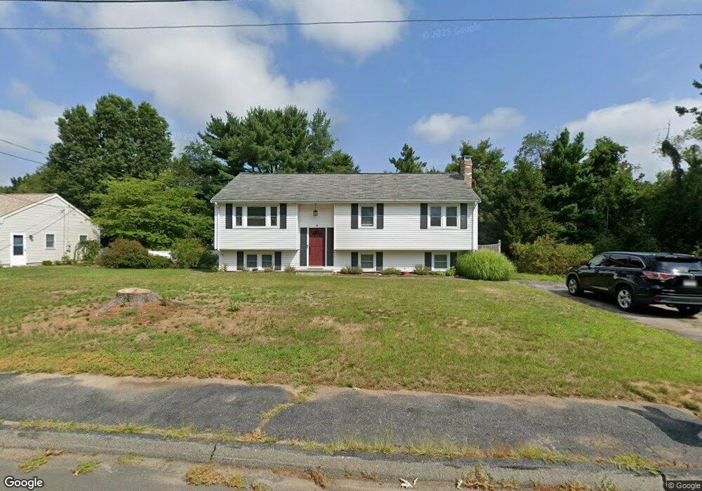
84 Munroe Dr North Attleboro, MA 02760
North Attleboro NeighborhoodEstimated Value: $570,714 - $631,000
3
Beds
2
Baths
1,132
Sq Ft
$530/Sq Ft
Est. Value
About This Home
This home is located at 84 Munroe Dr, North Attleboro, MA 02760 and is currently estimated at $599,679, approximately $529 per square foot. 84 Munroe Dr is a home located in Bristol County with nearby schools including North Attleboro High School, Cadence Academy Preschool - North Attleborough, and Bishop Feehan High School.
Ownership History
Date
Name
Owned For
Owner Type
Purchase Details
Closed on
Sep 30, 1998
Sold by
Waseleski Stephen J and Waseleski Lorraine R
Bought by
Garland Daniel C and Vesey Paula A
Current Estimated Value
Create a Home Valuation Report for This Property
The Home Valuation Report is an in-depth analysis detailing your home's value as well as a comparison with similar homes in the area
Home Values in the Area
Average Home Value in this Area
Purchase History
| Date | Buyer | Sale Price | Title Company |
|---|---|---|---|
| Garland Daniel C | $167,900 | -- |
Source: Public Records
Mortgage History
| Date | Status | Borrower | Loan Amount |
|---|---|---|---|
| Open | Garland Daniel C | $240,000 | |
| Closed | Garland Daniel C | $182,000 | |
| Closed | Garland Daniel C | $10,000 |
Source: Public Records
Tax History Compared to Growth
Tax History
| Year | Tax Paid | Tax Assessment Tax Assessment Total Assessment is a certain percentage of the fair market value that is determined by local assessors to be the total taxable value of land and additions on the property. | Land | Improvement |
|---|---|---|---|---|
| 2025 | $5,657 | $479,800 | $148,300 | $331,500 |
| 2024 | $5,451 | $472,400 | $148,300 | $324,100 |
| 2023 | $5,529 | $432,300 | $148,300 | $284,000 |
| 2022 | $5,332 | $382,800 | $148,300 | $234,500 |
| 2021 | $4,965 | $347,900 | $148,300 | $199,600 |
| 2020 | $4,837 | $337,100 | $148,300 | $188,800 |
| 2019 | $4,644 | $326,100 | $134,800 | $191,300 |
| 2018 | $4,141 | $310,400 | $134,800 | $175,600 |
| 2017 | $3,958 | $299,400 | $134,800 | $164,600 |
| 2016 | $3,864 | $292,300 | $149,700 | $142,600 |
| 2015 | $3,614 | $275,000 | $149,700 | $125,300 |
| 2014 | $3,392 | $256,200 | $131,400 | $124,800 |
Source: Public Records
Map
Nearby Homes
- 16 Raymond Hall Dr
- 10 Sleepy Hollow Cir
- 116 George St
- 11 Landry Ave
- 15 Old Wood Rd
- 57 Vine St
- Lot 5 Jeffrey Dr
- 28 Messenger St
- Lot 2 Jeffrey Dr
- 17 Peters Way
- 33 Dublin Way
- 115 Westfield Dr
- 2 George St Unit C
- 36 Cranberry Rd
- 9 Sunnyside Dr Unit 9
- 166 E Bacon St Unit 4
- 122 Mary Ann Way
- 47 Old Farm Rd
- 24 Red Coat Ln
- 12 Houde St