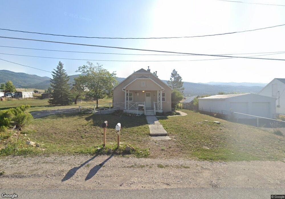
84 N 400 E Fairview, UT 84629
Estimated Value: $269,072 - $340,000
3
Beds
1
Bath
1,440
Sq Ft
$211/Sq Ft
Est. Value
About This Home
This home is located at 84 N 400 E, Fairview, UT 84629 and is currently estimated at $304,518, approximately $211 per square foot. 84 N 400 E is a home located in Sanpete County with nearby schools including North Sanpete High School.
Ownership History
Date
Name
Owned For
Owner Type
Purchase Details
Closed on
Sep 9, 2024
Sold by
Harrison Brian R and Harrison Karen M
Bought by
Eagar Morgan M
Current Estimated Value
Home Financials for this Owner
Home Financials are based on the most recent Mortgage that was taken out on this home.
Original Mortgage
$294,467
Outstanding Balance
$283,243
Interest Rate
0.61%
Mortgage Type
Construction
Estimated Equity
$21,275
Purchase Details
Closed on
Nov 13, 2023
Sold by
Voshall Lori J
Bought by
Harrion Robert B and Harrison Maria K
Purchase Details
Closed on
Feb 10, 2012
Sold by
Topham Danny and Topham Jan A
Bought by
Nelson Chad A
Create a Home Valuation Report for This Property
The Home Valuation Report is an in-depth analysis detailing your home's value as well as a comparison with similar homes in the area
Purchase History
| Date | Buyer | Sale Price | Title Company |
|---|---|---|---|
| Eagar Morgan M | $297,412 | Title Gnte Settlement Svcs | |
| Harrion Robert B | -- | -- | |
| Nelson Chad A | -- | -- |
Source: Public Records
Mortgage History
| Date | Status | Borrower | Loan Amount |
|---|---|---|---|
| Open | Eagar Morgan M | $294,467 |
Source: Public Records
Tax History
| Year | Tax Paid | Tax Assessment Tax Assessment Total Assessment is a certain percentage of the fair market value that is determined by local assessors to be the total taxable value of land and additions on the property. | Land | Improvement |
|---|---|---|---|---|
| 2025 | $990 | $121,082 | $0 | $0 |
| 2024 | $857 | $98,656 | $0 | $0 |
| 2023 | $834 | $92,636 | $0 | $0 |
| 2022 | $834 | $82,711 | $0 | $0 |
| 2021 | $765 | $68,881 | $0 | $0 |
| 2020 | $731 | $61,132 | $0 | $0 |
| 2019 | $717 | $56,951 | $0 | $0 |
| 2018 | $652 | $90,042 | $23,115 | $66,927 |
| 2017 | $604 | $47,770 | $0 | $0 |
| 2016 | $568 | $44,946 | $0 | $0 |
| 2015 | $551 | $42,948 | $0 | $0 |
| 2014 | $548 | $42,948 | $0 | $0 |
| 2013 | $533 | $42,948 | $0 | $0 |
Source: Public Records
Map
Nearby Homes
- 11905 E 24560 N
- 145 E Center St
- 30455 N 11000 E
- 0 Skyline Dr Unit 15303573
- 381 E 300 S
- 21845 Cemetery Rd
- 482 N 200 W
- 576 N 200 W
- 11680 E 29130 N
- 22615 Long Dr Unit GC46
- 46 Eagle Dr Unit A46
- B24 Spring Creek Dr
- 24 Spring Creek Dr Unit B24
- 12100 E 22270 N Unit A60
- 22390 N 12380 E
- 12665 Cedar Ridge Dr Unit C39
- M31 Juniper Dr
- 2 Juniper Dr Unit 2
- 7 Juniper Dr Unit 7
- 22375 Cedar Ridge Dr Unit C47
- 75 N 400 St E
- 68 N 400 E
- 374 E 100 N
- 385 E 100 N
- 377 E Center St
- 351 E Center St
- 26297 N 11000 E
- 29530 N 10800 E
- 315 E Center St
- 12100 E 25100 N
- 27250 N 11000 E
- 11620 E 25100 N
- 27270 N 11000 E
- 22130 N 11750 E Unit 120
- 22130 N 11750 E Unit J20
- 22130 N 11750 E Unit GC35
- 22130 N 11750 E Unit C14
- 22130 N 11750 E Unit 6
- 22130 N 11750 E Unit M97
- 24710 N 11850 E