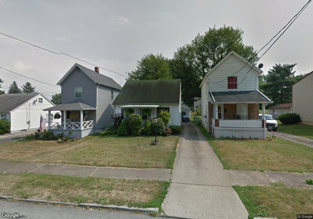
84 Omar St Struthers, OH 44471
Estimated Value: $137,000 - $159,000
3
Beds
2
Baths
1,170
Sq Ft
$125/Sq Ft
Est. Value
About This Home
This home is located at 84 Omar St, Struthers, OH 44471 and is currently estimated at $145,971, approximately $124 per square foot. 84 Omar St is a home located in Mahoning County with nearby schools including Struthers Elementary School, Struthers Middle School, and Struthers High School.
Ownership History
Date
Name
Owned For
Owner Type
Purchase Details
Closed on
Sep 27, 2007
Sold by
Sass Robert J
Bought by
Sass Denise L
Current Estimated Value
Home Financials for this Owner
Home Financials are based on the most recent Mortgage that was taken out on this home.
Original Mortgage
$52,000
Outstanding Balance
$32,093
Interest Rate
6.44%
Mortgage Type
Purchase Money Mortgage
Estimated Equity
$113,878
Purchase Details
Closed on
Oct 18, 1999
Sold by
Shaffer Terry L
Bought by
Sass Robert J and Sass Denise L
Home Financials for this Owner
Home Financials are based on the most recent Mortgage that was taken out on this home.
Original Mortgage
$79,500
Interest Rate
7.9%
Purchase Details
Closed on
Apr 16, 1993
Bought by
Melone Gerald F and Melone Julie
Create a Home Valuation Report for This Property
The Home Valuation Report is an in-depth analysis detailing your home's value as well as a comparison with similar homes in the area
Home Values in the Area
Average Home Value in this Area
Purchase History
| Date | Buyer | Sale Price | Title Company |
|---|---|---|---|
| Sass Denise L | -- | Attorney | |
| Sass Robert J | $58,700 | -- | |
| Melone Gerald F | $53,000 | -- |
Source: Public Records
Mortgage History
| Date | Status | Borrower | Loan Amount |
|---|---|---|---|
| Open | Sass Denise L | $52,000 | |
| Previous Owner | Sass Robert J | $79,500 |
Source: Public Records
Tax History
| Year | Tax Paid | Tax Assessment Tax Assessment Total Assessment is a certain percentage of the fair market value that is determined by local assessors to be the total taxable value of land and additions on the property. | Land | Improvement |
|---|---|---|---|---|
| 2025 | $1,497 | $35,960 | $3,140 | $32,820 |
| 2024 | $1,497 | $35,960 | $3,140 | $32,820 |
| 2023 | $1,472 | $35,960 | $3,140 | $32,820 |
| 2022 | $1,558 | $28,820 | $2,950 | $25,870 |
| 2021 | $1,544 | $28,820 | $2,950 | $25,870 |
| 2020 | $1,550 | $28,820 | $2,950 | $25,870 |
| 2019 | $1,485 | $25,070 | $2,570 | $22,500 |
| 2018 | $1,417 | $25,070 | $2,570 | $22,500 |
| 2017 | $1,396 | $25,070 | $2,570 | $22,500 |
| 2016 | $1,378 | $25,000 | $3,000 | $22,000 |
| 2015 | $1,346 | $25,000 | $3,000 | $22,000 |
| 2014 | $1,350 | $25,000 | $3,000 | $22,000 |
| 2013 | $1,255 | $25,000 | $3,000 | $22,000 |
Source: Public Records
Map
Nearby Homes
Your Personal Tour Guide
Ask me questions while you tour the home.