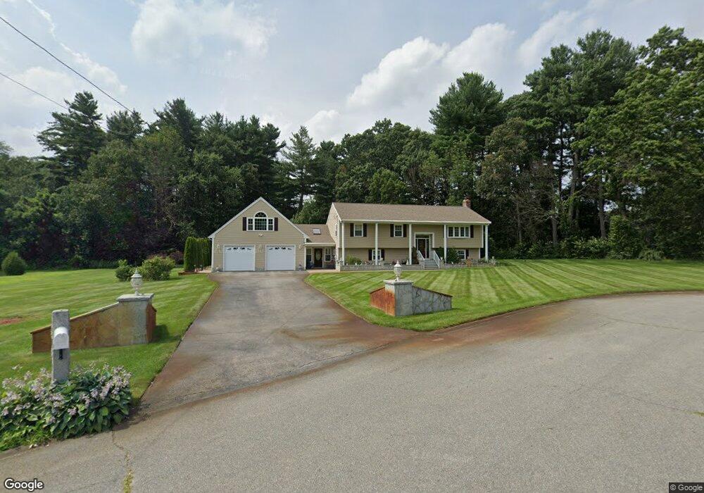
84 Pomfret Rd Tewksbury, MA 01876
Estimated Value: $599,000 - $871,000
3
Beds
2
Baths
1,288
Sq Ft
$565/Sq Ft
Est. Value
About This Home
This home is located at 84 Pomfret Rd, Tewksbury, MA 01876 and is currently estimated at $727,935, approximately $565 per square foot. 84 Pomfret Rd is a home located in Middlesex County with nearby schools including Heath-Brook Elementary School.
Ownership History
Date
Name
Owned For
Owner Type
Purchase Details
Closed on
Nov 11, 2019
Sold by
Lima Lidia P
Bought by
Lima Ft
Current Estimated Value
Purchase Details
Closed on
Sep 24, 2014
Sold by
Lima Eduardo M and Lima Lidia P
Bought by
E&L Lima Rt and Lima Eduardo M
Create a Home Valuation Report for This Property
The Home Valuation Report is an in-depth analysis detailing your home's value as well as a comparison with similar homes in the area
Home Values in the Area
Average Home Value in this Area
Purchase History
| Date | Buyer | Sale Price | Title Company |
|---|---|---|---|
| Lima Ft | -- | None Available | |
| Lima Lidia P | -- | None Available | |
| E&L Lima Rt | -- | -- |
Source: Public Records
Tax History Compared to Growth
Tax History
| Year | Tax Paid | Tax Assessment Tax Assessment Total Assessment is a certain percentage of the fair market value that is determined by local assessors to be the total taxable value of land and additions on the property. | Land | Improvement |
|---|---|---|---|---|
| 2025 | $10,051 | $760,300 | $320,600 | $439,700 |
| 2024 | $9,657 | $721,200 | $305,400 | $415,800 |
| 2023 | $9,399 | $666,600 | $277,500 | $389,100 |
| 2022 | $9,158 | $602,500 | $241,300 | $361,200 |
| 2021 | $8,910 | $566,800 | $219,500 | $347,300 |
| 2020 | $8,793 | $550,600 | $209,100 | $341,500 |
| 2019 | $8,040 | $507,600 | $199,100 | $308,500 |
| 2018 | $7,800 | $483,600 | $199,100 | $284,500 |
| 2017 | $7,356 | $451,000 | $189,500 | $261,500 |
| 2016 | $7,163 | $438,100 | $189,500 | $248,600 |
| 2015 | $6,856 | $418,800 | $183,800 | $235,000 |
| 2014 | $6,413 | $398,100 | $183,800 | $214,300 |
Source: Public Records
Map
Nearby Homes
- 72 Pomfret Rd
- 3 Allen Road Extension
- 73 Pomfret Rd
- 4 Allen Road Extension
- 52 Pomfret Rd
- 1 Allen Road Extension
- 2 Allen Road Extension
- 119 McDonald Rd
- 119 McDonald Rd Unit Lot 7
- 241 Pringle St
- 63 Pomfret Rd
- 53 Pomfret Rd
- 18 Mcgrane Rd
- 20 Mcgrane Rd
- 43 Pomfret Rd
- 121 McDonald Rd
- 16 Mcgrane Rd
- 22 Mcgrane Rd
- 117 McDonald Rd
- 22 Pomfret Rd