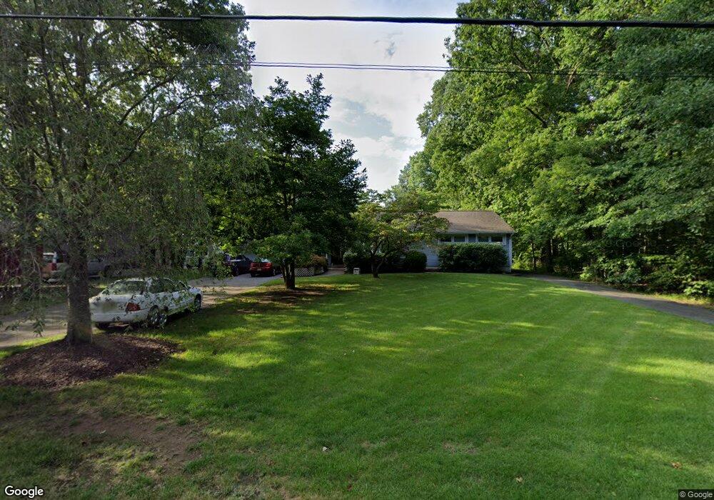
84 Preston Rd Parsippany, NJ 07054
Estimated Value: $712,000 - $906,000
--
Bed
--
Bath
2,173
Sq Ft
$366/Sq Ft
Est. Value
About This Home
This home is located at 84 Preston Rd, Parsippany, NJ 07054 and is currently estimated at $796,137, approximately $366 per square foot. 84 Preston Rd is a home located in Morris County with nearby schools including Troy Hills School, Central Middle School, and Parsippany High School.
Ownership History
Date
Name
Owned For
Owner Type
Purchase Details
Closed on
Nov 8, 2020
Sold by
Paltjon Brittany and Totino Raffaele
Bought by
Kelly Ryan and Kelly Krystle
Current Estimated Value
Purchase Details
Closed on
Jun 23, 2005
Sold by
Hilaire Thomas A
Bought by
Carter Edward M and Carter Ellen A
Home Financials for this Owner
Home Financials are based on the most recent Mortgage that was taken out on this home.
Original Mortgage
$300,000
Interest Rate
5.71%
Mortgage Type
New Conventional
Purchase Details
Closed on
Feb 21, 2001
Sold by
Hilaire Thomas A and Hilaire Kathleen M
Bought by
Hilaire Ii Thomas A
Home Financials for this Owner
Home Financials are based on the most recent Mortgage that was taken out on this home.
Original Mortgage
$190,000
Interest Rate
7%
Create a Home Valuation Report for This Property
The Home Valuation Report is an in-depth analysis detailing your home's value as well as a comparison with similar homes in the area
Home Values in the Area
Average Home Value in this Area
Purchase History
| Date | Buyer | Sale Price | Title Company |
|---|---|---|---|
| Kelly Ryan | $460,500 | None Listed On Document | |
| Carter Edward M | $560,000 | -- | |
| Hilaire Ii Thomas A | $75,000 | Fidelity National Title Ins |
Source: Public Records
Mortgage History
| Date | Status | Borrower | Loan Amount |
|---|---|---|---|
| Previous Owner | Carter Edward M | $300,000 | |
| Previous Owner | Hilaire Ii Thomas A | $190,000 |
Source: Public Records
Tax History Compared to Growth
Tax History
| Year | Tax Paid | Tax Assessment Tax Assessment Total Assessment is a certain percentage of the fair market value that is determined by local assessors to be the total taxable value of land and additions on the property. | Land | Improvement |
|---|---|---|---|---|
| 2025 | $14,145 | $414,800 | $189,600 | $225,200 |
| 2024 | $13,883 | $414,800 | $189,600 | $225,200 |
| 2023 | $13,883 | $414,800 | $189,600 | $225,200 |
| 2022 | $12,979 | $414,800 | $189,600 | $225,200 |
| 2021 | $12,979 | $414,800 | $189,600 | $225,200 |
| 2020 | $12,701 | $414,800 | $189,600 | $225,200 |
| 2019 | $12,357 | $414,800 | $189,600 | $225,200 |
| 2018 | $12,083 | $414,800 | $189,600 | $225,200 |
| 2017 | $11,805 | $414,800 | $189,600 | $225,200 |
| 2016 | $11,594 | $414,800 | $189,600 | $225,200 |
| 2015 | $11,299 | $414,800 | $189,600 | $225,200 |
| 2014 | $11,146 | $414,800 | $189,600 | $225,200 |
Source: Public Records
Map
Nearby Homes
- 74 Preston Rd
- 89 Schindler Ct
- 72 Schindler Ct
- 53 Westminster Dr
- 11 Nemic Ln
- 26 David Dr
- 24 Leah Way
- 79 Rhyan Dr
- 91 Rhyan Dr
- 144 Jillian Blvd
- 1 Glenbrook Ct
- 39 Lefke Ln
- 00 Algonquin Pkwy
- 92 Sunrise Dr
- 96 Parsippany Rd
- 159 Ball Ave
- 123 Cardigan Ct Unit 123
- 4 Kitchell Place
- 20 Sandra Dr
- 26 Gladstone Ct