84 Range Rd Concord, MA 01742
Estimated Value: $1,509,000 - $1,709,000
4
Beds
4
Baths
3,347
Sq Ft
$484/Sq Ft
Est. Value
About This Home
This home is located at 84 Range Rd, Concord, MA 01742 and is currently estimated at $1,620,622, approximately $484 per square foot. 84 Range Rd is a home located in Middlesex County with nearby schools including Thoreau Elementary School, Concord Middle School, and Concord Carlisle High School.
Create a Home Valuation Report for This Property
The Home Valuation Report is an in-depth analysis detailing your home's value as well as a comparison with similar homes in the area
Home Values in the Area
Average Home Value in this Area
Tax History
| Year | Tax Paid | Tax Assessment Tax Assessment Total Assessment is a certain percentage of the fair market value that is determined by local assessors to be the total taxable value of land and additions on the property. | Land | Improvement |
|---|---|---|---|---|
| 2025 | $204 | $1,537,800 | $572,700 | $965,100 |
| 2024 | $20,191 | $1,537,800 | $572,700 | $965,100 |
| 2023 | $17,160 | $1,324,100 | $520,600 | $803,500 |
| 2022 | $16,273 | $1,102,500 | $416,400 | $686,100 |
| 2021 | $16,226 | $1,102,300 | $416,400 | $685,900 |
| 2020 | $15,502 | $1,089,400 | $416,400 | $673,000 |
| 2019 | $15,534 | $1,094,700 | $430,300 | $664,400 |
| 2018 | $14,384 | $1,006,600 | $395,000 | $611,600 |
| 2017 | $13,765 | $978,300 | $366,700 | $611,600 |
| 2016 | $13,408 | $963,200 | $366,700 | $596,500 |
| 2015 | $12,614 | $882,700 | $339,500 | $543,200 |
Source: Public Records
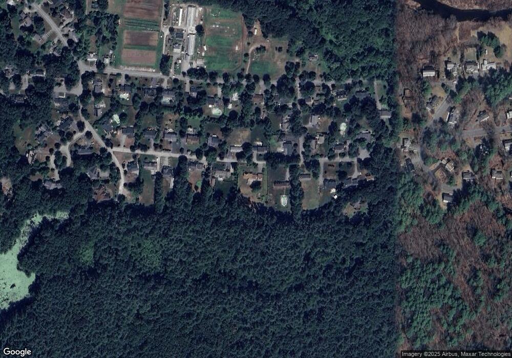
Map
Nearby Homes
- 100 Harrington Ave
- 20 Westvale Meadows Unit C
- 53 Prairie St
- 1844 Main St Unit 1844
- 27 Water St
- 22 Center Village Dr
- 37 Water St
- 70 McCallar Ln
- 66 Old Stow Rd
- 102 Highland St
- 95 Conant St Unit 320
- 116 Conant St
- 111 Central St
- 67 Conant St
- 54 Maple St
- 1201 Old Marlboro Rd
- 65 Summit St
- 42 Sunnyside Ln
- 132 Williams Rd
- 47 Bridgecourt Ln
Your Personal Tour Guide
Ask me questions while you tour the home.