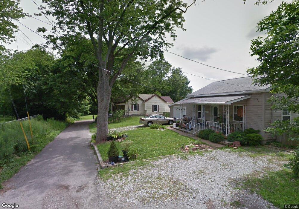
84 S Vaught St Franklin, IN 46131
Estimated Value: $203,000 - $244,000
3
Beds
1
Bath
1,788
Sq Ft
$127/Sq Ft
Est. Value
About This Home
This home is located at 84 S Vaught St, Franklin, IN 46131 and is currently estimated at $226,190, approximately $126 per square foot. 84 S Vaught St is a home located in Johnson County with nearby schools including Northwood Elementary School, Franklin Community Middle School, and Custer Baker Intermediate School.
Ownership History
Date
Name
Owned For
Owner Type
Purchase Details
Closed on
Jan 2, 2008
Sold by
Hsbc Bank Usa
Bought by
Caradonna Timothy A
Current Estimated Value
Purchase Details
Closed on
Sep 20, 2007
Sold by
Geisler Kenneth S and Geisler Christine M
Bought by
Hsbc Bank Usa
Create a Home Valuation Report for This Property
The Home Valuation Report is an in-depth analysis detailing your home's value as well as a comparison with similar homes in the area
Home Values in the Area
Average Home Value in this Area
Purchase History
| Date | Buyer | Sale Price | Title Company |
|---|---|---|---|
| Caradonna Timothy A | -- | Rels Title | |
| Hsbc Bank Usa | $77,500 | None Available |
Source: Public Records
Tax History Compared to Growth
Tax History
| Year | Tax Paid | Tax Assessment Tax Assessment Total Assessment is a certain percentage of the fair market value that is determined by local assessors to be the total taxable value of land and additions on the property. | Land | Improvement |
|---|---|---|---|---|
| 2025 | $1,634 | $149,100 | $34,200 | $114,900 |
| 2024 | $1,634 | $149,900 | $34,200 | $115,700 |
| 2023 | $1,523 | $139,900 | $34,200 | $105,700 |
| 2022 | $1,434 | $130,600 | $34,200 | $96,400 |
| 2021 | $1,260 | $115,500 | $32,000 | $83,500 |
| 2020 | $1,244 | $114,100 | $32,000 | $82,100 |
| 2019 | $1,135 | $104,600 | $20,500 | $84,100 |
| 2018 | $1,438 | $95,900 | $20,500 | $75,400 |
| 2017 | $913 | $91,300 | $20,500 | $70,800 |
| 2016 | $930 | $86,900 | $20,500 | $66,400 |
| 2014 | $903 | $90,300 | $35,000 | $55,300 |
| 2013 | $903 | $88,500 | $35,000 | $53,500 |
Source: Public Records
Map
Nearby Homes
- 419 W Jefferson St
- 253 W Madison St
- 199 Walnut St
- 252 S Main St
- 1050 Wild Ivy Trail Unit 1052
- 76 E Wayne St Unit B
- 178 S Water St Unit F
- 772 Franklin Lakes Blvd
- 0 W 900 Hwy Unit 202537998
- 0 W 900 Hwy Unit 24875600
- 400 S Main St
- 1063 Wild Ivy Trail
- 356 N Main St
- 150 E Madison St
- 901 Mallory Pkwy
- 56 Central Ave
- 785 Shoreline Ct
- 926 Walnut St
- 700 Johnson Ave
- 601 Duane St
- 51 S Vaught St
- 597 W Jefferson St
- 601 W Jefferson St
- 555 W Jefferson St
- RR2 U S 31
- 545 W Jefferson St
- 0 Us 31 Unit 21346382
- 0 Us 31 Unit MBR2038072
- 517 W Jefferson St
- 0 Hospital Rd
- 0 Hospital Rd Unit 21693917
- 0 Hospital Rd Unit 21482428
- 0 Hospital Rd Unit 21518693
- 0 Hospital Rd Unit 21623348
- 0 Hospital Rd Unit 21623337
- 0 Hospital Rd Unit 21623188
- 499 W Jefferson St
- 598 W Jefferson St
- 497 1/2 W Jefferson St