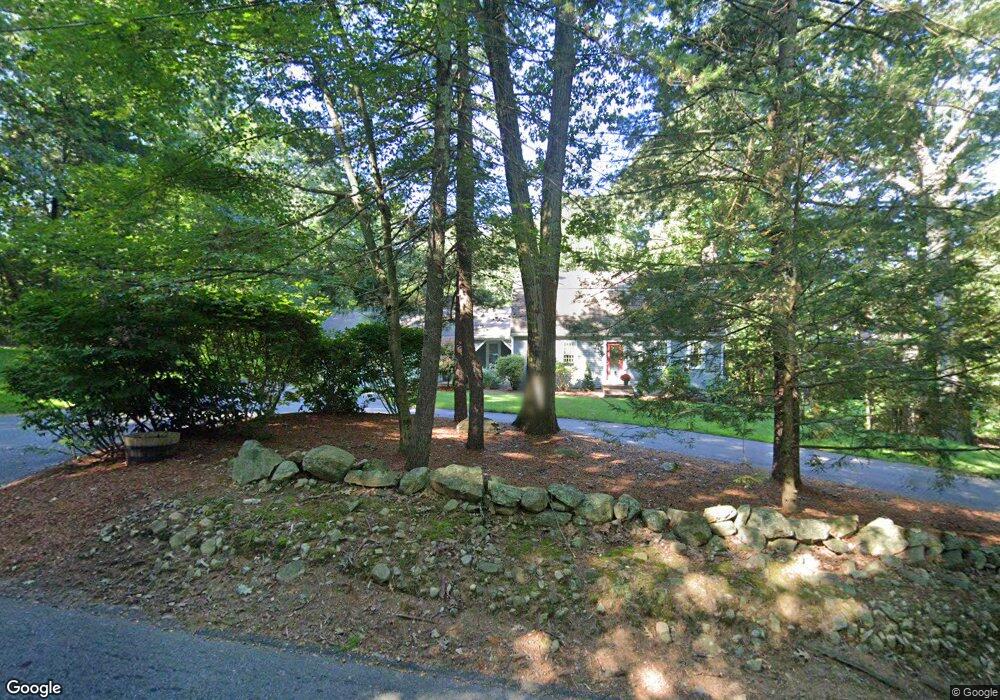
84 Sears Rd Southborough, MA 01772
Estimated Value: $867,462 - $1,228,000
3
Beds
3
Baths
2,091
Sq Ft
$492/Sq Ft
Est. Value
About This Home
This home is located at 84 Sears Rd, Southborough, MA 01772 and is currently estimated at $1,028,366, approximately $491 per square foot. 84 Sears Rd is a home located in Worcester County with nearby schools including Mary E Finn School, Albert S. Woodward Memorial School, and Margaret A. Neary School.
Ownership History
Date
Name
Owned For
Owner Type
Purchase Details
Closed on
Oct 12, 2000
Sold by
Koumoutseas John and Koumoutseas Pamela
Bought by
Collins Paul C and Collins Louise A
Current Estimated Value
Home Financials for this Owner
Home Financials are based on the most recent Mortgage that was taken out on this home.
Original Mortgage
$367,500
Outstanding Balance
$133,736
Interest Rate
7.89%
Mortgage Type
Purchase Money Mortgage
Estimated Equity
$894,630
Purchase Details
Closed on
Feb 25, 1999
Sold by
Somers Robert A and Somers Helga B
Bought by
Koumoutseas John and Koumoutseas Pamela
Create a Home Valuation Report for This Property
The Home Valuation Report is an in-depth analysis detailing your home's value as well as a comparison with similar homes in the area
Home Values in the Area
Average Home Value in this Area
Purchase History
| Date | Buyer | Sale Price | Title Company |
|---|---|---|---|
| Collins Paul C | $380,500 | -- | |
| Koumoutseas John | $348,000 | -- |
Source: Public Records
Mortgage History
| Date | Status | Borrower | Loan Amount |
|---|---|---|---|
| Open | Koumoutseas John | $240,000 | |
| Closed | Koumoutseas John | $50,000 | |
| Open | Koumoutseas John | $367,500 |
Source: Public Records
Tax History
| Year | Tax Paid | Tax Assessment Tax Assessment Total Assessment is a certain percentage of the fair market value that is determined by local assessors to be the total taxable value of land and additions on the property. | Land | Improvement |
|---|---|---|---|---|
| 2025 | $12,338 | $893,400 | $390,600 | $502,800 |
| 2024 | $11,616 | $835,100 | $375,400 | $459,700 |
| 2023 | $11,187 | $757,900 | $357,100 | $400,800 |
| 2022 | $10,742 | $659,800 | $310,400 | $349,400 |
| 2021 | $10,342 | $638,000 | $300,400 | $337,600 |
| 2020 | $10,389 | $623,600 | $295,200 | $328,400 |
| 2019 | $10,290 | $614,700 | $295,100 | $319,600 |
| 2018 | $9,789 | $606,500 | $295,100 | $311,400 |
| 2017 | $10,090 | $616,000 | $315,100 | $300,900 |
| 2016 | $10,035 | $634,300 | $320,600 | $313,700 |
| 2015 | $9,859 | $615,400 | $305,300 | $310,100 |
Source: Public Records
Map
Nearby Homes
- 2 Presidential Dr
- 0 Presidential Dr Lot 37
- 80 Sears Rd
- 75 Sears Rd
- 88 Sears Rd
- 79 Sears Rd
- 4 Presidential Dr
- 78 Sears Rd
- 1 Presidential Dr
- 71 Sears Rd
- 90 Sears Rd
- 73 Sears Rd
- 3 Presidential Dr
- 44 Presidential Dr
- 1 Wolfpen Ln
- 92 Sears Rd
- 56 Presidential Dr
- 40 Presidential Dr
- 3 Wolfpen Ln
- 3 Wolfpen Ln
Your Personal Tour Guide
Ask me questions while you tour the home.