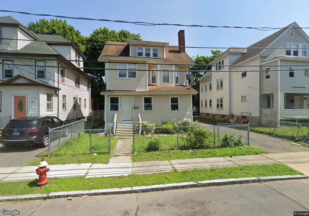
84 Sterling St Unit 86 Hartford, CT 06112
Upper Albany NeighborhoodEstimated Value: $244,940 - $451,000
7
Beds
3
Baths
3,271
Sq Ft
$104/Sq Ft
Est. Value
About This Home
This home is located at 84 Sterling St Unit 86, Hartford, CT 06112 and is currently estimated at $341,735, approximately $104 per square foot. 84 Sterling St Unit 86 is a home located in Hartford County with nearby schools including Rawson School, Noah Webster Micro Society School, and McKinley School.
Ownership History
Date
Name
Owned For
Owner Type
Purchase Details
Closed on
Oct 29, 2025
Sold by
Neale Pauline G
Bought by
Astra Properties Llc
Current Estimated Value
Home Financials for this Owner
Home Financials are based on the most recent Mortgage that was taken out on this home.
Original Mortgage
$350,000
Outstanding Balance
$350,000
Interest Rate
6.26%
Mortgage Type
Construction
Estimated Equity
-$8,265
Purchase Details
Closed on
Apr 29, 2003
Sold by
Richards Alberta
Bought by
Taylor Pauline
Create a Home Valuation Report for This Property
The Home Valuation Report is an in-depth analysis detailing your home's value as well as a comparison with similar homes in the area
Home Values in the Area
Average Home Value in this Area
Purchase History
| Date | Buyer | Sale Price | Title Company |
|---|---|---|---|
| Astra Properties Llc | $235,000 | -- | |
| Taylor Pauline | $117,000 | -- |
Source: Public Records
Mortgage History
| Date | Status | Borrower | Loan Amount |
|---|---|---|---|
| Open | Astra Properties Llc | $350,000 | |
| Previous Owner | Taylor Pauline | $22,333 | |
| Previous Owner | Taylor Pauline | $28,600 |
Source: Public Records
Tax History Compared to Growth
Tax History
| Year | Tax Paid | Tax Assessment Tax Assessment Total Assessment is a certain percentage of the fair market value that is determined by local assessors to be the total taxable value of land and additions on the property. | Land | Improvement |
|---|---|---|---|---|
| 2025 | $5,696 | $82,614 | $3,749 | $78,865 |
| 2024 | $5,696 | $82,614 | $3,749 | $78,865 |
| 2023 | $5,696 | $82,614 | $3,749 | $78,865 |
| 2022 | $4,347 | $82,615 | $3,749 | $78,866 |
| 2021 | $4,347 | $58,520 | $3,255 | $55,265 |
| 2020 | $4,347 | $58,520 | $3,255 | $55,265 |
| 2019 | $4,501 | $60,585 | $3,255 | $57,330 |
| 2018 | $4,349 | $58,542 | $3,145 | $55,397 |
| 2016 | $4,046 | $54,467 | $2,995 | $51,472 |
| 2015 | $3,854 | $51,880 | $2,853 | $49,027 |
| 2014 | $3,760 | $50,612 | $2,784 | $47,828 |
Source: Public Records
Map
Nearby Homes
- 78-80 Cabot St
- 68 Sterling St Unit 70
- 4 Deerfield Ave
- 131-135,137-145,119- Albany Ave
- 8 Sterling St
- 364 Woodland St
- 171 Edgewood St Unit 173
- 62 Burton St
- 141 Greenfield St
- 59 Magnolia St
- 240 Sargeant St
- 10 Burton St Unit 12
- 290 Sargeant St Unit 292
- 134 Magnolia St Unit 136
- 96 Sargeant St Unit 98
- 25 May St
- 52 Atwood St Unit 3B
- 67 Enfield St Unit 37
- 410 Garden St
- 300 Garden St
- 76 Sterling St Unit 3
- 76 Sterling St
- 80 Sterling St Unit 82
- 88 Sterling St Unit 90
- 92 Sterling St
- 78 Sterling St Unit 1
- 78 Sterling St
- 69 Cabot St Unit 71
- 92 Sterling St Unit 94
- 65-67 Cabot St
- 65 Cabot St Unit 67
- 72 Sterling St Unit 74
- 72 Sterling St Unit 2
- 72 Sterling St
- 72-74 Sterling St
- 72 Sterling St Unit 3
- 61 Cabot St
- 75 Sterling St
- 68-70 Sterling St
- 57 Cabot St