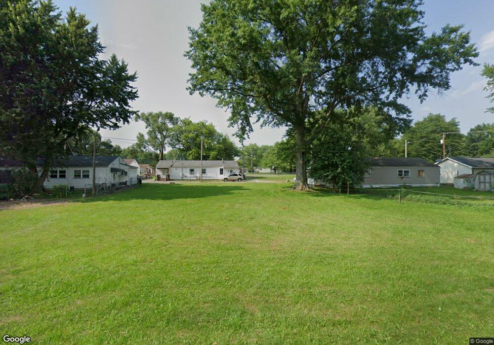
84 Trumbull Ct Newton Falls, OH 44444
Estimated Value: $132,000 - $163,000
4
Beds
2
Baths
1,440
Sq Ft
$102/Sq Ft
Est. Value
About This Home
This home is located at 84 Trumbull Ct, Newton Falls, OH 44444 and is currently estimated at $147,500, approximately $102 per square foot. 84 Trumbull Ct is a home located in Trumbull County with nearby schools including Newton Falls Middle School, Newton Falls Junior High School, and Newton Falls High School.
Ownership History
Date
Name
Owned For
Owner Type
Purchase Details
Closed on
Oct 7, 2021
Sold by
Trumbull County Land Reutilization Corp
Bought by
Coe Joshua L
Current Estimated Value
Purchase Details
Closed on
Aug 10, 2021
Sold by
Monroe Paul S and Trumbull County
Bought by
Trumbull County Land Reutilization Corporatio and Neighborhood Development Services Inc
Purchase Details
Closed on
Jul 29, 2020
Sold by
Shetterly Donna
Bought by
City Of Newton Falls
Purchase Details
Closed on
Jan 8, 2004
Sold by
Allen William B and Allen Wanda L
Bought by
Shetterly Donna and Spencer Diane
Purchase Details
Closed on
Dec 23, 2003
Sold by
Allen William B and Allen Wanda L
Bought by
Shetterly Donna and Spencer Diane
Purchase Details
Closed on
Jan 1, 1990
Bought by
William B Allen
Create a Home Valuation Report for This Property
The Home Valuation Report is an in-depth analysis detailing your home's value as well as a comparison with similar homes in the area
Home Values in the Area
Average Home Value in this Area
Purchase History
| Date | Buyer | Sale Price | Title Company |
|---|---|---|---|
| Coe Joshua L | -- | None Available | |
| Trumbull County Land Reutilization Corporatio | -- | Griffith Lynn B | |
| City Of Newton Falls | $500 | None Available | |
| Shetterly Donna | $30,000 | Nations Title Agency | |
| Shetterly Donna | $30,000 | Nations Title Agency | |
| William B Allen | -- | -- |
Source: Public Records
Tax History Compared to Growth
Tax History
| Year | Tax Paid | Tax Assessment Tax Assessment Total Assessment is a certain percentage of the fair market value that is determined by local assessors to be the total taxable value of land and additions on the property. | Land | Improvement |
|---|---|---|---|---|
| 2024 | $8 | $320 | $320 | $0 |
| 2023 | $14 | $320 | $320 | $0 |
| 2022 | $14 | $280 | $280 | $0 |
| 2021 | $14 | $280 | $280 | $0 |
| 2020 | $14 | $280 | $280 | $0 |
| 2019 | $15 | $280 | $280 | $0 |
| 2018 | $15 | $280 | $280 | $0 |
| 2017 | $525 | $9,460 | $1,090 | $8,370 |
| 2016 | $236 | $9,070 | $1,090 | $7,980 |
| 2015 | $236 | $9,070 | $1,090 | $7,980 |
| 2014 | $206 | $9,070 | $1,090 | $7,980 |
| 2013 | $186 | $9,770 | $1,090 | $8,680 |
Source: Public Records
Map
Nearby Homes
- 83 Maple Dr
- 328 Oak Knoll Ave
- 722 Arlington Blvd
- 211 Mayhill Dr
- 348 Arlington Blvd
- 1026 Woodglen Ave
- 61 Bridge St
- 4908 Woodlawn Ave
- 2721 E River Rd
- 4374 Richmond Ave
- 32 Orchard St
- 4442 La France St
- 431 S Canal St
- 0 2nd St
- 57 E Main St
- 1054 Water St
- 2567 S Canal St
- 38 W 8th St
- 0 Miller Graber Rd SW
- 5587 Charleston Rd