84 Viola Ln Pottsboro, TX 75076
Estimated Value: $455,036 - $565,000
--
Bed
--
Bath
1,320
Sq Ft
$386/Sq Ft
Est. Value
About This Home
This home is located at 84 Viola Ln, Pottsboro, TX 75076 and is currently estimated at $510,018, approximately $386 per square foot. 84 Viola Ln is a home located in Grayson County with nearby schools including Pottsboro Elementary School, Pottsboro Middle School, and Pottsboro High School.
Ownership History
Date
Name
Owned For
Owner Type
Purchase Details
Closed on
Jun 9, 2010
Sold by
Dutton Robert and Baker Dianna Beth
Bought by
Binns Lonnie R and Binns Melinda K
Current Estimated Value
Home Financials for this Owner
Home Financials are based on the most recent Mortgage that was taken out on this home.
Original Mortgage
$56,000
Outstanding Balance
$18,739
Interest Rate
5.02%
Mortgage Type
New Conventional
Estimated Equity
$491,279
Create a Home Valuation Report for This Property
The Home Valuation Report is an in-depth analysis detailing your home's value as well as a comparison with similar homes in the area
Home Values in the Area
Average Home Value in this Area
Purchase History
| Date | Buyer | Sale Price | Title Company |
|---|---|---|---|
| Binns Lonnie R | -- | Red River Title Co |
Source: Public Records
Mortgage History
| Date | Status | Borrower | Loan Amount |
|---|---|---|---|
| Open | Binns Lonnie R | $56,000 |
Source: Public Records
Tax History Compared to Growth
Tax History
| Year | Tax Paid | Tax Assessment Tax Assessment Total Assessment is a certain percentage of the fair market value that is determined by local assessors to be the total taxable value of land and additions on the property. | Land | Improvement |
|---|---|---|---|---|
| 2025 | $3,219 | $358,908 | -- | -- |
| 2024 | $4,521 | $326,280 | $0 | $0 |
| 2023 | $2,800 | $296,618 | $0 | $0 |
| 2022 | $4,244 | $269,653 | $0 | $0 |
| 2021 | $2,425 | $168,692 | $32,608 | $136,084 |
| 2020 | $2,288 | $171,797 | $32,608 | $139,189 |
| 2019 | $2,180 | $126,262 | $28,781 | $97,481 |
| 2018 | $2,007 | $125,740 | $28,781 | $96,959 |
| 2017 | $1,848 | $113,490 | $24,738 | $88,752 |
| 2016 | $1,662 | $108,307 | $21,173 | $87,134 |
| 2015 | $1,070 | $83,227 | $13,760 | $69,467 |
| 2014 | $1,133 | $79,636 | $13,173 | $66,463 |
Source: Public Records
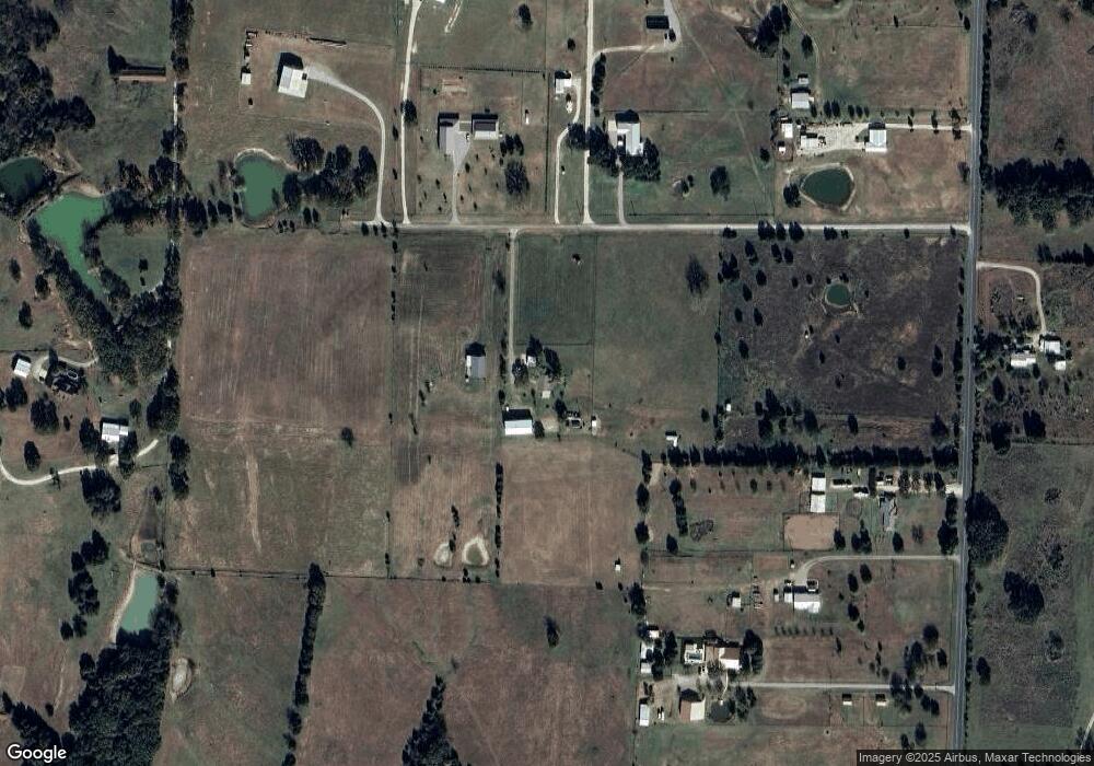
Map
Nearby Homes
- 1050 Cooks Corner Rd
- 229 Clountz Ln
- 283 Cooks Corner Rd
- 900 Locust Rd
- Lot 4 Locust Rd
- 9+ AC Locust Rd
- Lot 2 Locust Rd
- 288 Locust Rd
- Lot 3 Locust Rd
- Lot 1 Locust Rd
- 137 Anderson Ln
- TBD1 Flowing Wells Rd
- TBD3 Flowing Wells Rd
- TBD LOT 1 Flowing Wells Rd
- 316 Flowing Wells Rd
- TBD Flowing Wells Rd
- 82 Cripple Minnow Bend
- 2003 Flowing Wells Rd
- TBD Railroad Ranch Rd
- 344 Castle Dr
- 225 Ed Dutton Rd
- LOT 2 Ed Dutton Rd
- LOT 3 Ed Dutton Rd
- LOT 1 Ed Dutton Rd
- 741 Cooks Corner Rd
- 275 Ed Dutton Rd
- 171 Ed Dutton Rd
- 171 Ed Dutton Rd
- 575 Cooks Corner Rd
- 211 Ed Dutton Rd
- 295 Ed Dutton Rd
- 351 Charlie Hanning Trail
- 929 Cooks Corner Rd
- 217 Ed Dutton Rd
- 383 Charlie Hanning Trail
- 788 Cooks Corner Rd
- 266 Locust Rd
- 314 Locust Rd
- 196 Locust Rd
- 338 Locust Rd