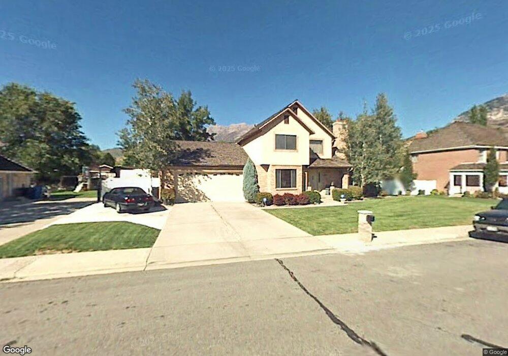
84 W 4600 N Provo, UT 84604
Riverside NeighborhoodEstimated Value: $828,000 - $1,411,000
4
Beds
3
Baths
4,324
Sq Ft
$238/Sq Ft
Est. Value
About This Home
This home is located at 84 W 4600 N, Provo, UT 84604 and is currently estimated at $1,029,162, approximately $238 per square foot. 84 W 4600 N is a home located in Utah County with nearby schools including Canyon Crest Elementary School, Centennial Middle School, and Timpview High School.
Ownership History
Date
Name
Owned For
Owner Type
Purchase Details
Closed on
Sep 17, 2010
Sold by
Ogden Kristy Reynolds and Estate Of Timothy Mccravey Ogd
Bought by
Wheelwright Matthew Steele and Wheelwright Nancy Dorothea
Current Estimated Value
Purchase Details
Closed on
Nov 16, 1998
Sold by
Welch Timothy W and Welch Judy D
Bought by
Ogden Timothy M and Ogden Harry C
Home Financials for this Owner
Home Financials are based on the most recent Mortgage that was taken out on this home.
Original Mortgage
$204,000
Interest Rate
6.54%
Purchase Details
Closed on
Aug 8, 1996
Sold by
Schoenfeld Dora C
Bought by
Welch Timothy W and Welch Judy D
Home Financials for this Owner
Home Financials are based on the most recent Mortgage that was taken out on this home.
Original Mortgage
$90,000
Interest Rate
8.33%
Create a Home Valuation Report for This Property
The Home Valuation Report is an in-depth analysis detailing your home's value as well as a comparison with similar homes in the area
Home Values in the Area
Average Home Value in this Area
Purchase History
| Date | Buyer | Sale Price | Title Company |
|---|---|---|---|
| Wheelwright Matthew Steele | -- | Eagle Pointe Title Insuranc | |
| Ogden Timothy M | -- | First American Title Co | |
| Welch Timothy W | -- | -- |
Source: Public Records
Mortgage History
| Date | Status | Borrower | Loan Amount |
|---|---|---|---|
| Previous Owner | Ogden Timothy M | $204,000 | |
| Previous Owner | Welch Timothy W | $90,000 |
Source: Public Records
Tax History Compared to Growth
Tax History
| Year | Tax Paid | Tax Assessment Tax Assessment Total Assessment is a certain percentage of the fair market value that is determined by local assessors to be the total taxable value of land and additions on the property. | Land | Improvement |
|---|---|---|---|---|
| 2025 | $3,975 | $401,940 | $281,600 | $449,200 |
| 2024 | $3,975 | $391,270 | $0 | $0 |
| 2023 | $3,826 | $371,305 | $0 | $0 |
| 2022 | $3,640 | $356,125 | $0 | $0 |
| 2021 | $2,937 | $501,200 | $238,300 | $262,900 |
| 2020 | $2,906 | $464,900 | $207,200 | $257,700 |
| 2019 | $2,794 | $464,900 | $207,200 | $257,700 |
| 2018 | $2,711 | $457,500 | $199,800 | $257,700 |
| 2017 | $2,437 | $225,995 | $0 | $0 |
| 2016 | $2,463 | $212,850 | $0 | $0 |
| 2015 | $2,201 | $192,280 | $0 | $0 |
| 2014 | $1,907 | $173,635 | $0 | $0 |
Source: Public Records
Map
Nearby Homes
- 204 E 4635 N
- 209 E 4735 N
- 221 E 4735 N
- 645 Foothill Dr
- 5005 N Edgewood Dr Unit 310
- 4246 N Stonecrossing
- 5013 N Edgewood Dr
- 4839 N 350 E
- 1643 Mountain Oaks Dr
- 1070 E 120 S
- 4161 N Canyon Rd Unit 2
- 282 W 4020 N
- 455 W 4150 St N
- 153 S 1000 E
- 299 E 4000 N
- 325 S 1000 E
- 4601 Foothill Dr
- 387 S 1000 E
- 400 Palisade Dr
- 386 N 1100 E