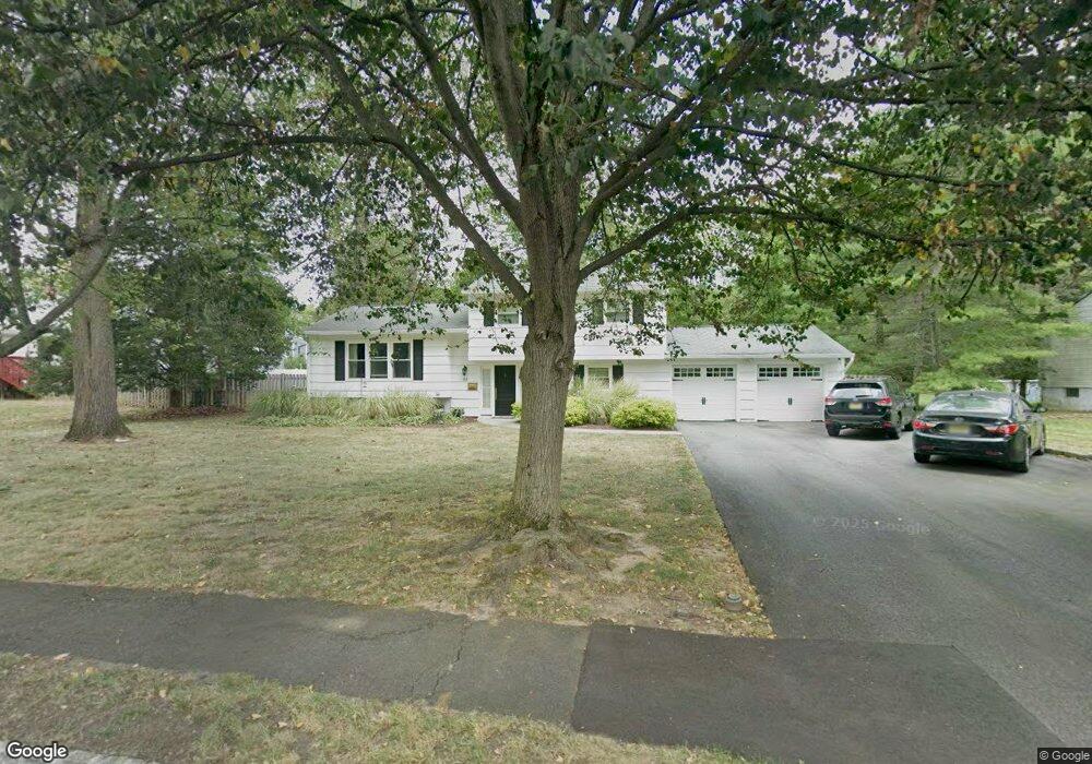
84 W Oakwood Ave Livingston, NJ 07039
Estimated Value: $1,273,159 - $1,377,000
--
Bed
--
Bath
2,132
Sq Ft
$617/Sq Ft
Est. Value
About This Home
This home is located at 84 W Oakwood Ave, Livingston, NJ 07039 and is currently estimated at $1,315,540, approximately $617 per square foot. 84 W Oakwood Ave is a home located in Essex County with nearby schools including Livingston Sr High School and Aquinas Academy.
Ownership History
Date
Name
Owned For
Owner Type
Purchase Details
Closed on
May 24, 2006
Sold by
Risis Arkady
Bought by
Spear Arthur and Spear Lisa
Current Estimated Value
Home Financials for this Owner
Home Financials are based on the most recent Mortgage that was taken out on this home.
Original Mortgage
$290,000
Outstanding Balance
$170,060
Interest Rate
6.62%
Mortgage Type
New Conventional
Estimated Equity
$1,145,480
Purchase Details
Closed on
Jul 9, 1999
Sold by
Jiaravanont Tida
Bought by
Risis Arkady
Home Financials for this Owner
Home Financials are based on the most recent Mortgage that was taken out on this home.
Original Mortgage
$273,600
Interest Rate
7.53%
Create a Home Valuation Report for This Property
The Home Valuation Report is an in-depth analysis detailing your home's value as well as a comparison with similar homes in the area
Home Values in the Area
Average Home Value in this Area
Purchase History
| Date | Buyer | Sale Price | Title Company |
|---|---|---|---|
| Spear Arthur | $625,000 | -- | |
| Risis Arkady | $288,000 | -- |
Source: Public Records
Mortgage History
| Date | Status | Borrower | Loan Amount |
|---|---|---|---|
| Open | Spear Arthur | $290,000 | |
| Previous Owner | Risis Arkady | $273,600 |
Source: Public Records
Tax History Compared to Growth
Tax History
| Year | Tax Paid | Tax Assessment Tax Assessment Total Assessment is a certain percentage of the fair market value that is determined by local assessors to be the total taxable value of land and additions on the property. | Land | Improvement |
|---|---|---|---|---|
| 2025 | $15,444 | $651,100 | $399,500 | $251,600 |
| 2024 | $15,444 | $651,100 | $399,500 | $251,600 |
| 2022 | $15,190 | $651,100 | $399,500 | $251,600 |
| 2021 | $15,066 | $651,100 | $399,500 | $251,600 |
| 2020 | $14,786 | $651,100 | $399,500 | $251,600 |
| 2019 | $14,409 | $550,800 | $364,500 | $186,300 |
| 2018 | $14,216 | $550,800 | $364,500 | $186,300 |
| 2017 | $14,029 | $550,800 | $364,500 | $186,300 |
| 2016 | $13,770 | $550,800 | $364,500 | $186,300 |
| 2015 | $13,566 | $550,800 | $364,500 | $186,300 |
| 2014 | $13,126 | $550,800 | $364,500 | $186,300 |
Source: Public Records
Map
Nearby Homes
- 31 Brookside Place
- 29 Brookside Place
- 27 Brookside Place
- 35 Stokes Terrace
- 112 Falcon Rd
- 25 Brookside Ave
- 85 W Oakwood Ave
- 25 Brookside Place
- 30 Brookside Place
- 111 Falcon Rd
- 87 W Oakwood Ave
- 28 Brookside Place
- 110 Falcon Rd
- 109 Falcon Rd
- 26 Brookside Place
- 23 Brookside Place
- 34 Glannon Rd
- 108 Falcon Rd
- 32 Glannon Rd
- 107 Falcon Rd