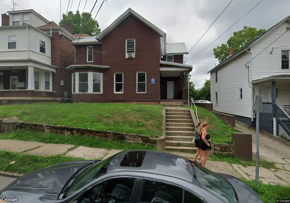
84 W State St Athens, OH 45701
Estimated Value: $201,000 - $256,000
3
Beds
2
Baths
1,802
Sq Ft
$126/Sq Ft
Est. Value
About This Home
This home is located at 84 W State St, Athens, OH 45701 and is currently estimated at $227,122, approximately $126 per square foot. 84 W State St is a home located in Athens County with nearby schools including West Elementary School, Athens Middle School, and Athens High School.
Ownership History
Date
Name
Owned For
Owner Type
Purchase Details
Closed on
Oct 15, 1999
Sold by
Seaman Jonathan E
Bought by
Mccoady Properties Ltd
Current Estimated Value
Purchase Details
Closed on
Jul 29, 1994
Sold by
Parker William P
Bought by
Seaman Jonathan E
Purchase Details
Closed on
Sep 1, 1989
Purchase Details
Closed on
Jun 1, 1989
Purchase Details
Closed on
Jan 1, 1989
Create a Home Valuation Report for This Property
The Home Valuation Report is an in-depth analysis detailing your home's value as well as a comparison with similar homes in the area
Home Values in the Area
Average Home Value in this Area
Purchase History
| Date | Buyer | Sale Price | Title Company |
|---|---|---|---|
| Mccoady Properties Ltd | $150,000 | -- | |
| Seaman Jonathan E | $56,500 | -- | |
| -- | $59,900 | -- | |
| -- | $48,000 | -- | |
| -- | $36,000 | -- |
Source: Public Records
Tax History
| Year | Tax Paid | Tax Assessment Tax Assessment Total Assessment is a certain percentage of the fair market value that is determined by local assessors to be the total taxable value of land and additions on the property. | Land | Improvement |
|---|---|---|---|---|
| 2024 | $3,487 | $64,310 | $7,170 | $57,140 |
| 2023 | $3,252 | $64,310 | $7,170 | $57,140 |
| 2022 | $2,742 | $51,820 | $7,170 | $44,650 |
| 2021 | $2,754 | $51,820 | $7,170 | $44,650 |
| 2020 | $2,674 | $51,820 | $7,170 | $44,650 |
| 2019 | $2,597 | $49,690 | $6,420 | $43,270 |
| 2018 | $2,564 | $49,690 | $6,420 | $43,270 |
| 2017 | $4,425 | $49,690 | $6,420 | $43,270 |
| 2016 | $2,214 | $44,350 | $6,120 | $38,230 |
| 2015 | $4,051 | $44,350 | $6,120 | $38,230 |
| 2014 | $4,051 | $44,350 | $6,120 | $38,230 |
| 2013 | $3,850 | $43,320 | $6,120 | $37,200 |
Source: Public Records
Map
Nearby Homes
- 71 W Washington St
- 22 Pratt St
- 11 Walker St
- 42 Walker St
- 80 Court
- 0 Roberts St
- 56.15/15.5 Central & Clark
- 193 N Lancaster St
- 247 W Union St Unit 1003A
- 15 S Shafer St Unit 201
- 15 S Shafer St Unit 1509
- 15 S Shafer St Unit 203
- 15 S Shafer St Unit 608
- 15 S Shafer St Unit 1306
- 15 S Shafer St Unit 2102
- 15 S Shafer St Unit 510
- 64 Franklin Ave
- 11 Forest St
- 121 Morris Ave
- 104 Sunnyside Dr
- 82 W State St
- 86 W State St Unit 1
- 86 W State St Unit C
- 86 W State St Unit B
- 86 W State St Unit A
- 80 W State St
- 31 N Lancaster St
- 74 W State St
- 98 W State St
- 27 N Lancaster St
- 37 N Lancaster St
- 85 W State St
- 72 W State St
- 33 N Lancaster St
- 100 W State St
- 70 W State St
- 43 N Lancaster St
- 95 W State St
- 11 N Lancaster St
- 77 W State St
Your Personal Tour Guide
Ask me questions while you tour the home.