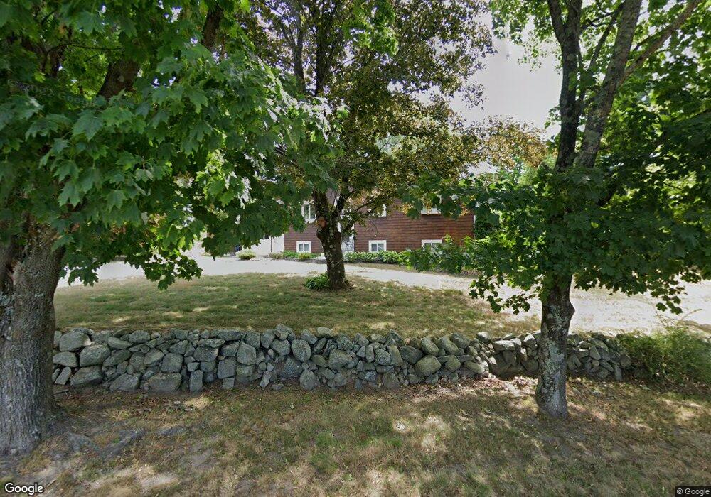
84 Winthrop St Medway, MA 02053
Estimated Value: $550,000 - $644,000
4
Beds
1
Bath
1,402
Sq Ft
$417/Sq Ft
Est. Value
About This Home
This home is located at 84 Winthrop St, Medway, MA 02053 and is currently estimated at $584,167, approximately $416 per square foot. 84 Winthrop St is a home located in Norfolk County with nearby schools including John D. McGovern Elementary School, Burke-Memorial Elementary, and Medway Middle School.
Ownership History
Date
Name
Owned For
Owner Type
Purchase Details
Closed on
Oct 6, 2003
Sold by
Dundon Dermot P and Dundon Elaine M
Bought by
Banaitis Romas J and Banaitis Nicole E
Current Estimated Value
Home Financials for this Owner
Home Financials are based on the most recent Mortgage that was taken out on this home.
Original Mortgage
$260,100
Outstanding Balance
$121,711
Interest Rate
6.25%
Mortgage Type
Purchase Money Mortgage
Estimated Equity
$462,456
Create a Home Valuation Report for This Property
The Home Valuation Report is an in-depth analysis detailing your home's value as well as a comparison with similar homes in the area
Home Values in the Area
Average Home Value in this Area
Purchase History
| Date | Buyer | Sale Price | Title Company |
|---|---|---|---|
| Banaitis Romas J | $289,000 | -- |
Source: Public Records
Mortgage History
| Date | Status | Borrower | Loan Amount |
|---|---|---|---|
| Open | Banaitis Romas J | $260,100 | |
| Previous Owner | Banaitis Romas J | $175,000 |
Source: Public Records
Tax History Compared to Growth
Tax History
| Year | Tax Paid | Tax Assessment Tax Assessment Total Assessment is a certain percentage of the fair market value that is determined by local assessors to be the total taxable value of land and additions on the property. | Land | Improvement |
|---|---|---|---|---|
| 2025 | $7,025 | $493,000 | $269,000 | $224,000 |
| 2024 | $7,099 | $493,000 | $269,000 | $224,000 |
| 2023 | $6,963 | $436,800 | $231,700 | $205,100 |
| 2022 | $6,659 | $393,300 | $206,900 | $186,400 |
| 2021 | $6,244 | $357,600 | $186,200 | $171,400 |
| 2020 | $5,843 | $333,900 | $165,500 | $168,400 |
| 2019 | $5,564 | $327,900 | $165,500 | $162,400 |
| 2018 | $5,151 | $291,700 | $144,800 | $146,900 |
| 2017 | $4,738 | $264,400 | $134,500 | $129,900 |
| 2016 | $4,837 | $267,100 | $139,000 | $128,100 |
| 2015 | $4,596 | $252,000 | $124,100 | $127,900 |
| 2014 | $4,580 | $243,100 | $132,400 | $110,700 |
Source: Public Records
Map
Nearby Homes
- 19 Sycamore Way Unit L40
- 116 Winthrop St
- 12 Longmeadow Ln
- 36 Lovering St
- 14 Heritage Dr
- 7 Hill St
- 12 Lovering St
- 0 Hill St
- 22 Sunset Dr
- 106 Holliston St
- 30 Broken Tree Rd
- 15 Broad Acres Farm Rd
- 3 Meryl St
- 1 Walnut Ln
- 176 Main St Unit 3
- 625 Norfolk St
- 50 Main St
- 28 Wellington St
- 6 Freedom Trail
- 5 Fales St
- 82 Winthrop St
- 107 Lovering St
- 110 Lovering St
- 112 Lovering St
- 108 Lovering St
- 105 Lovering St
- 80 Winthrop St
- 83 Winthrop St
- 86 Winthrop St
- 102 Lovering St
- 85 Winthrop St
- 31 Ohlson Cir
- 103 Lovering St
- 87 Winthrop St
- 88 Winthrop St
- 6 Hemlock Dr
- 33 Ohlson Cir
- 4 Hemlock Dr
- 78A Winthrop St
- 29 Ohlson Cir