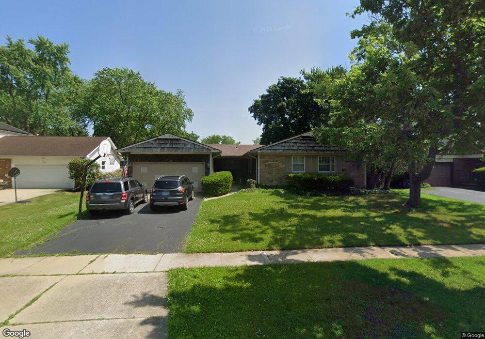
840 Dorncliff Ln Buffalo Grove, IL 60089
Estimated Value: $424,000 - $497,837
3
Beds
2
Baths
2,056
Sq Ft
$220/Sq Ft
Est. Value
About This Home
This home is located at 840 Dorncliff Ln, Buffalo Grove, IL 60089 and is currently estimated at $452,709, approximately $220 per square foot. 840 Dorncliff Ln is a home located in Lake County with nearby schools including Ivy Hall Elementary School, Twin Groves Middle School, and Adlai E Stevenson High School.
Ownership History
Date
Name
Owned For
Owner Type
Purchase Details
Closed on
Feb 18, 2007
Sold by
Sypula Mark C and Sypula Alyssa Jean
Bought by
Sypula Mark C
Current Estimated Value
Purchase Details
Closed on
Jul 22, 2003
Sold by
Myers Leonard
Bought by
Sypula Mark C and Sypula Alyssa Jean
Home Financials for this Owner
Home Financials are based on the most recent Mortgage that was taken out on this home.
Original Mortgage
$234,000
Outstanding Balance
$104,792
Interest Rate
5.97%
Mortgage Type
Purchase Money Mortgage
Estimated Equity
$347,917
Purchase Details
Closed on
Oct 10, 1997
Sold by
Omalley John R and Omalley Annette L
Bought by
Myers Leonard
Home Financials for this Owner
Home Financials are based on the most recent Mortgage that was taken out on this home.
Original Mortgage
$146,000
Interest Rate
7.1%
Create a Home Valuation Report for This Property
The Home Valuation Report is an in-depth analysis detailing your home's value as well as a comparison with similar homes in the area
Home Values in the Area
Average Home Value in this Area
Purchase History
| Date | Buyer | Sale Price | Title Company |
|---|---|---|---|
| Sypula Mark C | -- | None Available | |
| Sypula Mark C | $292,500 | Chicago Title Insurance Comp | |
| Myers Leonard | $121,666 | -- |
Source: Public Records
Mortgage History
| Date | Status | Borrower | Loan Amount |
|---|---|---|---|
| Open | Sypula Mark C | $234,000 | |
| Previous Owner | Myers Leonard | $146,000 | |
| Closed | Sypula Mark C | $29,200 |
Source: Public Records
Tax History Compared to Growth
Tax History
| Year | Tax Paid | Tax Assessment Tax Assessment Total Assessment is a certain percentage of the fair market value that is determined by local assessors to be the total taxable value of land and additions on the property. | Land | Improvement |
|---|---|---|---|---|
| 2024 | $11,932 | $131,762 | $35,615 | $96,147 |
| 2023 | $11,331 | $124,327 | $33,605 | $90,722 |
| 2022 | $11,331 | $114,670 | $30,994 | $83,676 |
| 2021 | $10,901 | $113,434 | $30,660 | $82,774 |
| 2020 | $10,645 | $113,821 | $30,765 | $83,056 |
| 2019 | $10,499 | $113,402 | $30,652 | $82,750 |
| 2018 | $9,808 | $109,560 | $30,293 | $79,267 |
| 2017 | $9,622 | $107,003 | $29,586 | $77,417 |
| 2016 | $9,366 | $102,464 | $28,331 | $74,133 |
| 2015 | $9,111 | $95,824 | $26,495 | $69,329 |
| 2014 | $8,410 | $87,711 | $28,456 | $59,255 |
| 2012 | $8,334 | $87,887 | $28,513 | $59,374 |
Source: Public Records
Map
Nearby Homes
- 610 Checker Dr
- 390 Springside Ln
- 800 Clohesey Dr
- 711 Woodhollow Ln
- 746 Old Checker Rd Unit E5
- 412 Chateau Dr
- 931 Shady Grove Ln
- 1112 Auburn Ln
- 950 Belmar Ln
- 1141 Devonshire Rd
- 12 Cloverdale Ct
- 887 Saybrook Ln Unit 2
- 603 Cherbourg Ct N
- 938 Hidden Lake Dr
- 98 Stonegate Rd
- 1113 Lockwood Dr
- 625 Marseilles Cir
- 1265 Devonshire Rd
- 1032 Courtland Dr Unit 9
- 670 Dunhill Dr
- 830 Dorncliff Ln
- 850 Dorncliff Ln
- 831 Twisted Oak Ln
- 821 Twisted Oak Ln
- 860 Dorncliff Ln
- 820 Dorncliff Ln
- 841 Twisted Oak Ln
- 811 Twisted Oak Ln Unit 6
- 851 Dorncliff Ln
- 861 Dorncliff Ln
- 841 Dorncliff Ln
- 801 Twisted Oak Ln
- 851 Twisted Oak Ln
- 870 Dorncliff Ln
- 871 Dorncliff Ln
- 831 Dorncliff Ln
- 861 Twisted Oak Ln
- 881 Dorncliff Ln
- 830 Twisted Oak Ln
- 870 Westbourne Ln