840 Hutcheson Rd Bremen, GA 30110
Estimated Value: $404,000 - $861,731
2
Beds
1
Bath
1,036
Sq Ft
$611/Sq Ft
Est. Value
About This Home
This home is located at 840 Hutcheson Rd, Bremen, GA 30110 and is currently estimated at $632,866, approximately $610 per square foot. 840 Hutcheson Rd is a home located in Carroll County with nearby schools including Sharp Creek Elementary School, Temple Middle School, and Temple High School.
Ownership History
Date
Name
Owned For
Owner Type
Purchase Details
Closed on
Jan 27, 2025
Sold by
Sapp Stephen T
Bought by
Sapp Katie B
Current Estimated Value
Purchase Details
Closed on
Mar 14, 2022
Sold by
Sapp Katie
Bought by
Sapp Stephen T and Sapp Katie B
Home Financials for this Owner
Home Financials are based on the most recent Mortgage that was taken out on this home.
Original Mortgage
$492,000
Interest Rate
2.77%
Mortgage Type
New Conventional
Purchase Details
Closed on
Sep 7, 2016
Sold by
Hoyt
Bought by
Sapp Katie
Create a Home Valuation Report for This Property
The Home Valuation Report is an in-depth analysis detailing your home's value as well as a comparison with similar homes in the area
Home Values in the Area
Average Home Value in this Area
Purchase History
| Date | Buyer | Sale Price | Title Company |
|---|---|---|---|
| Sapp Katie B | -- | -- | |
| Sapp Stephen T | -- | -- | |
| Sapp Katie | $222,000 | -- |
Source: Public Records
Mortgage History
| Date | Status | Borrower | Loan Amount |
|---|---|---|---|
| Previous Owner | Sapp Stephen T | $492,000 |
Source: Public Records
Tax History Compared to Growth
Tax History
| Year | Tax Paid | Tax Assessment Tax Assessment Total Assessment is a certain percentage of the fair market value that is determined by local assessors to be the total taxable value of land and additions on the property. | Land | Improvement |
|---|---|---|---|---|
| 2024 | $10,033 | $359,966 | $29,025 | $330,941 |
| 2023 | $8,446 | $325,205 | $23,220 | $301,985 |
| 2022 | $1,890 | $442,409 | $76,162 | $366,247 |
| 2021 | $1,915 | $386,170 | $60,930 | $325,240 |
| 2020 | $1,335 | $207,332 | $45,974 | $161,358 |
| 2019 | $1,432 | $192,372 | $45,974 | $146,398 |
| 2018 | $3,617 | $141,743 | $45,974 | $95,769 |
Source: Public Records
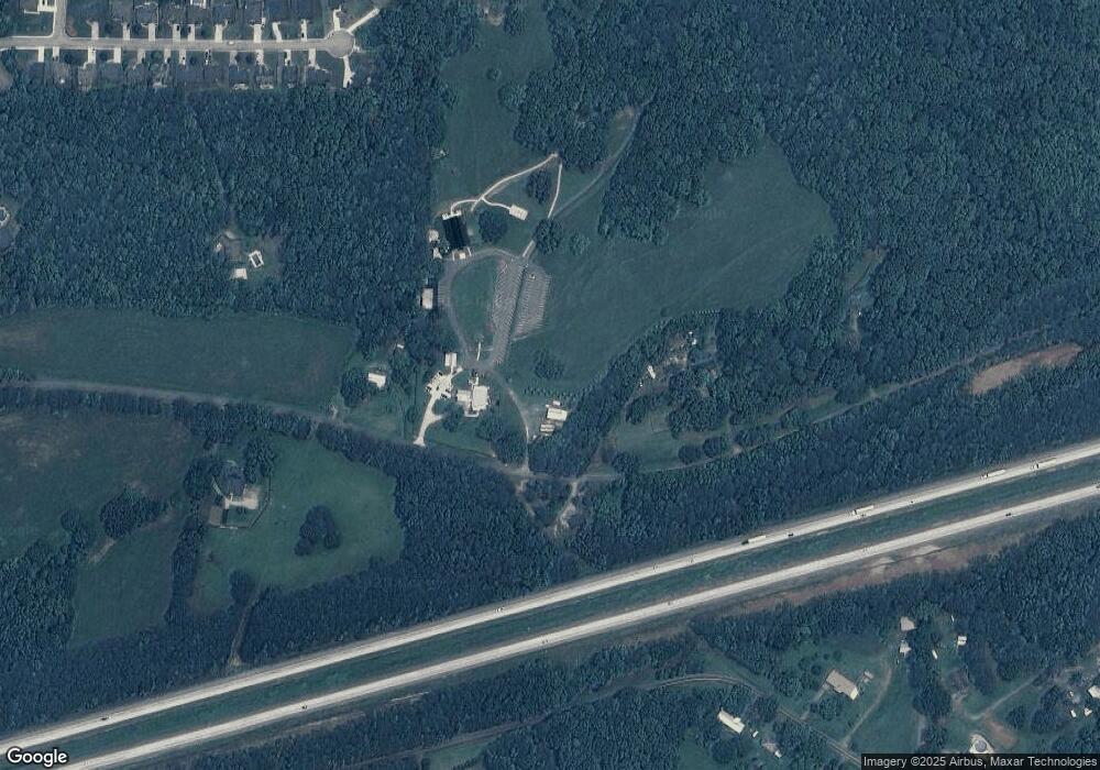
Map
Nearby Homes
- Plan 1709 at Saddle Ridge
- Plan 3119 at Saddle Ridge
- Plan 1902 at Saddle Ridge
- Plan 2131 at Saddle Ridge
- Plan 2307 at Saddle Ridge
- Plan 2604 at Saddle Ridge
- 539 Saddle Chase Dr
- 1549 Georgia Ave S
- 48 Covered Bridge Rd
- 126 Covered Bridge Rd
- 1800 Mandeville Rd
- 86 Pine Brook Dr
- 386 Springwater Way
- 000 Valley Run-1 04 Acres
- 000 Crosstown Pkwy
- 8 Brock Ln
- 798 Tucker Trail
- 650 N Raburn Rd
- 112 Summit Ln
- 549 McGukin Rd
- 194 Saddleridge Dr Unit 113
- 814 Hutcheson Rd
- 198 Saddleridge Dr
- 198 Saddleridge Dr Unit lot 112
- 190 Saddleridge Dr
- 128 Saddleridge Dr
- 182 Saddleridge Dr
- 186 Saddleridge Dr
- 193 Saddleridge Dr
- 924 Hutcheson Rd
- 189 Saddleridge Dr
- 189 Saddleridge Dr Unit 109
- 174 Saddleridge Dr
- 875 Hutcheson Rd
- 185 Saddleridge Dr Unit 108
- 181 Saddleridge Dr
- 166 Saddleridge Dr
- 372 Surrey Ct
- 658 Pine Brook Dr
- 177 Saddleridge Dr