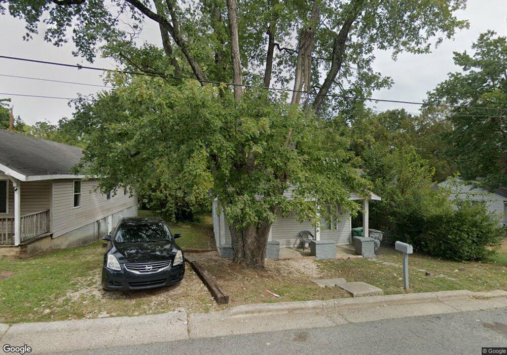
840 Putnam St High Point, NC 27262
Greater High Point NeighborhoodEstimated Value: $76,000 - $156,000
3
Beds
2
Baths
909
Sq Ft
$127/Sq Ft
Est. Value
About This Home
This home is located at 840 Putnam St, High Point, NC 27262 and is currently estimated at $115,760, approximately $127 per square foot. 840 Putnam St is a home located in Guilford County with nearby schools including Kirkman Park Elementary School, Penn-Griffin School for the Arts, and T.W. Andrews High School.
Ownership History
Date
Name
Owned For
Owner Type
Purchase Details
Closed on
Jun 24, 2003
Sold by
Taylor Eric S and Taylor Amanda M
Bought by
Sunrise & Sons Llc
Current Estimated Value
Home Financials for this Owner
Home Financials are based on the most recent Mortgage that was taken out on this home.
Original Mortgage
$46,500
Outstanding Balance
$20,044
Interest Rate
5.56%
Mortgage Type
Purchase Money Mortgage
Estimated Equity
$95,716
Create a Home Valuation Report for This Property
The Home Valuation Report is an in-depth analysis detailing your home's value as well as a comparison with similar homes in the area
Home Values in the Area
Average Home Value in this Area
Purchase History
| Date | Buyer | Sale Price | Title Company |
|---|---|---|---|
| Sunrise & Sons Llc | $47,000 | -- |
Source: Public Records
Mortgage History
| Date | Status | Borrower | Loan Amount |
|---|---|---|---|
| Open | Sunrise & Sons Llc | $46,500 |
Source: Public Records
Tax History
| Year | Tax Paid | Tax Assessment Tax Assessment Total Assessment is a certain percentage of the fair market value that is determined by local assessors to be the total taxable value of land and additions on the property. | Land | Improvement |
|---|---|---|---|---|
| 2025 | $478 | $34,700 | $12,000 | $22,700 |
| 2024 | $478 | $34,700 | $12,000 | $22,700 |
| 2023 | $478 | $34,700 | $12,000 | $22,700 |
| 2022 | $468 | $34,700 | $12,000 | $22,700 |
| 2021 | $383 | $27,800 | $3,500 | $24,300 |
| 2020 | $383 | $27,800 | $3,500 | $24,300 |
| 2019 | $383 | $27,800 | $0 | $0 |
| 2018 | $381 | $27,800 | $0 | $0 |
| 2017 | $381 | $27,800 | $0 | $0 |
| 2016 | $491 | $35,000 | $0 | $0 |
| 2015 | $494 | $35,000 | $0 | $0 |
| 2014 | $502 | $35,000 | $0 | $0 |
Source: Public Records
Map
Nearby Homes
- 721 Forrest St
- 719 Forrest St
- 910 E Dayton Ave
- 1108 Forrest St
- 1110 Forrest St
- 509 Woodrow Ave
- 1428 Futrelle Dr
- 304 Louise Ave
- 613 Woodridge Ln
- 1433 Larkin St
- 1129 Bridges Dr
- 1518 Johnson St
- 1507 Larkin St
- 1602 Larkin St
- 1714 N Hamilton St Unit B
- 905 Mint Ave
- 837 Willow Place
- 207 Hillcrest Dr
- 1700 N Hamilton St Unit F
- 1604 E Lexington Ave
Your Personal Tour Guide
Ask me questions while you tour the home.